14 – 5 – 24 EDMUNDBYERS

Distance 15.9 Km (9.9 miles) Ascent 264 m (845 ft)
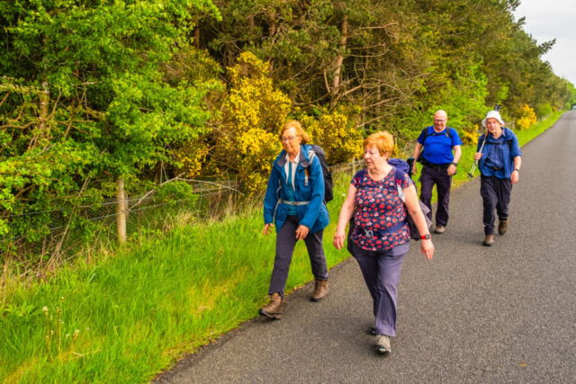
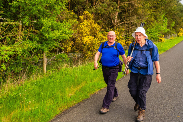
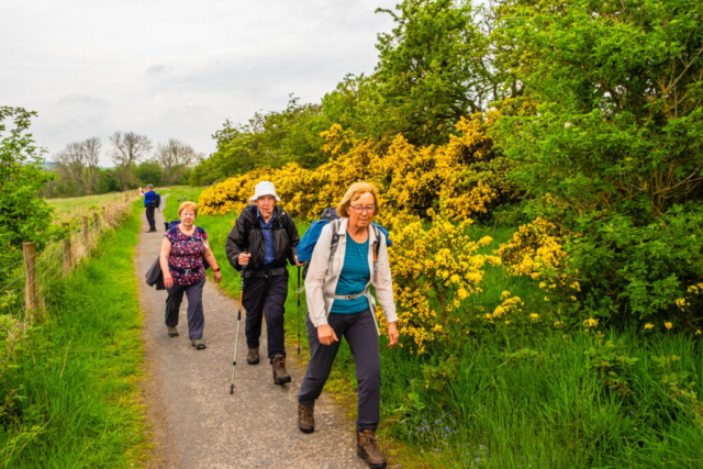
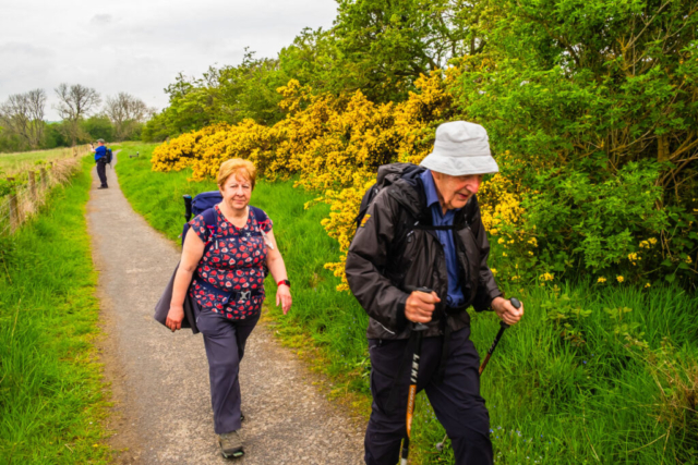
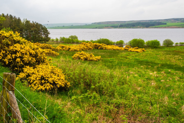
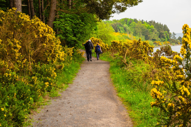
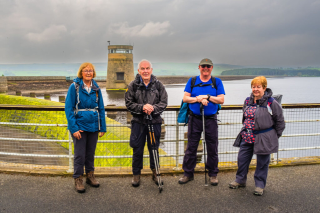
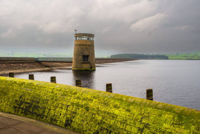
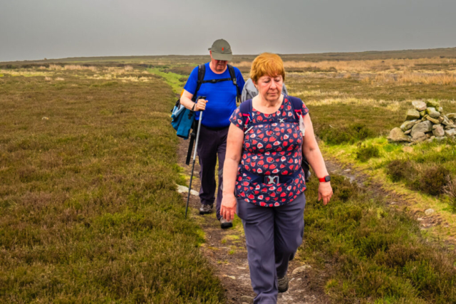
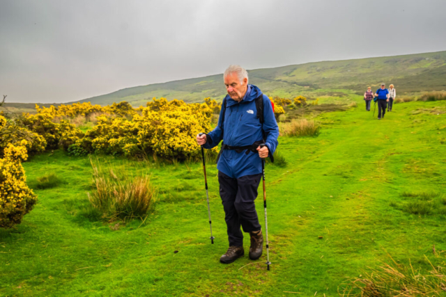
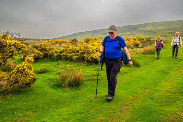
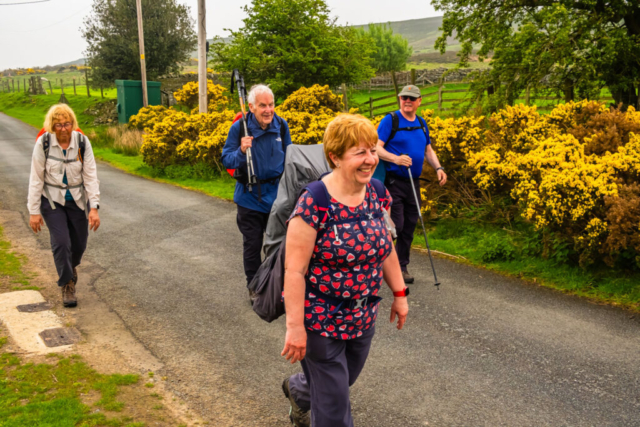
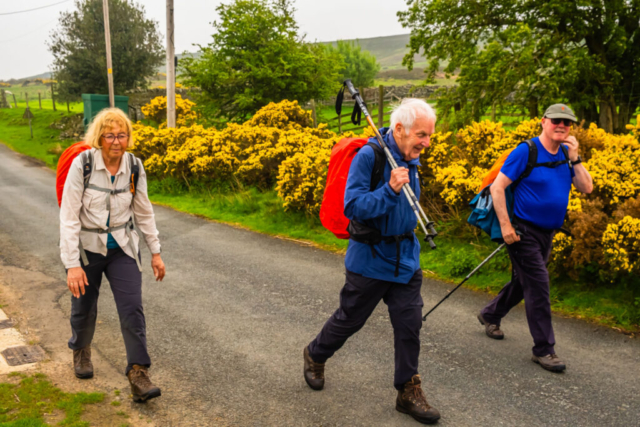
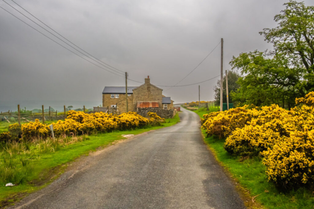
Leaving the coaches at Kiln Pit Hill on the A68, we headed WSW on the B6306. Unfortunately it was a bit busier than I had expected, but most drivers were quite considerate to our group of 5 walkers. At Barley Hill we turned S and made our way downhill towards the Derwent Reservoir. At this point, although the sun was not shining, it was quite warm and humid. Reaching the bottom of the long descent, we arrived at the car park adjacent to the reservoir. We made use of the toilet facilities and then walked into the next field where a number of picnic tables gave us a good spot for our coffee break. After our stop, we joined a good firm footpath heading clockwise around this eastern part of the reservoir. Although it was overcast, the yellow gorse and the reservoir still made for a good view. However, it was not to last and we soon had waterproof jackets on as the rain started. After passing below Cronkley, we were faced with a diversion sign. The inlet just past this point is only slightly lower than the footpath and I suspect that in the previous month or so the water had flowed over the path causing it to be closed. So following the diversion we took the path heading to Cronkley, turned right onto a narrow tarmac road and then followed it in a loop towards Birkenside. After completing half a circle and past the inlet, a grassy path brought us back down to the reservoir path from where we headed to the dam. From the dam we took the road down to the cafe and toilets and using a nearby picnic table we stopped for an early lunch. At this point it had stopped raining so it was waterproofs off in the sunshine.
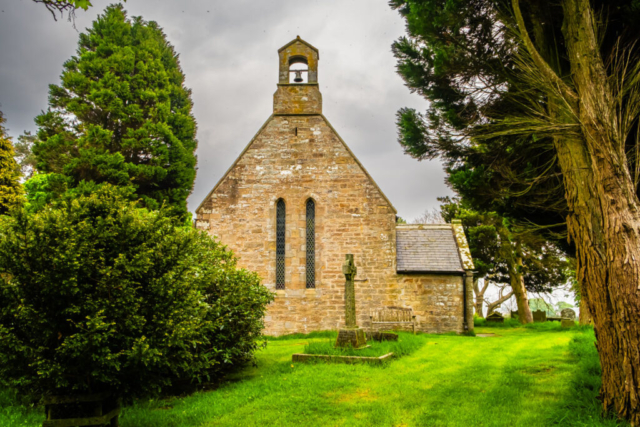
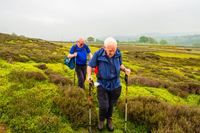
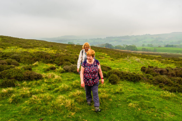
After lunch the rain started again so it was jackets on as we made our way E along the B6278 and then S to Eddy’s bridge. After Eddy’s Bridge and a short climb, we left the road and headed SE across fields and stiles to Muggleswick. The stiles were a good guide to our route as there was no clear path. In Muggleswick, a right turn followed by a quick left brought us up to All Saints Church and then past the church back onto the minor road we had left earlier. We followed the road past Haverley Lodge ignoring the track heading off right as it would have shortened the walk and continued down the road to Dyke House. Leaving the road, we followed a poorly defined path covered with heather and bracken in a SW direction. In fact at times, it was a question of whether we were on the footpath or a sheep track. Only by checking my GPS could I be sure we were right. We then turned NW on another path which if anything was less well defined as we climbed Strawberry Hill. Eventually we reached a well defined grassy track which continued the climb to the top of the moor. At the top, we came to the track we had seen earlier, when we were at Haverley Lodge, heading across Muggleswick Park. This was another good track and we made our way W across the moor. While I had hoped for a good view of the reservoir from this track, all we could see was a murky grey colour. In fact since lunch it had been a further case of jackets on, jackets off. As we descended at the W end of the moor, we joined a minor road, passed East Cot House and West Cot House before descending to the B6278. We followed this road N over Burnhope Bridge and NE into Edmundbyers. We arrived at the coach having once again donned waterproof jackets. As one of the group said, we can call this the jackets on – off walk. A shame that the weather spoilt what could have been a nice walk.
To view the route (red line), click on the adjacent file name 240514 Edmundbyers


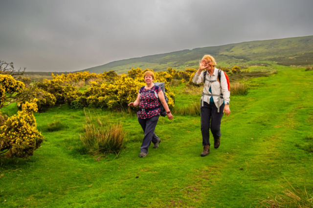
Another lovely walk Peter. I think jackets on – jackets off made the walk amusing thanks for a lovely day 🥾🥾