2 – 7 – 25 SWAINBY
Distance 16.7 Km (10.3 miles) Ascent 393 m (1289 ft) Average moving speed 4.4 Km/hr (2.73 mph) Start 10.22 am Finish 16.30 pm
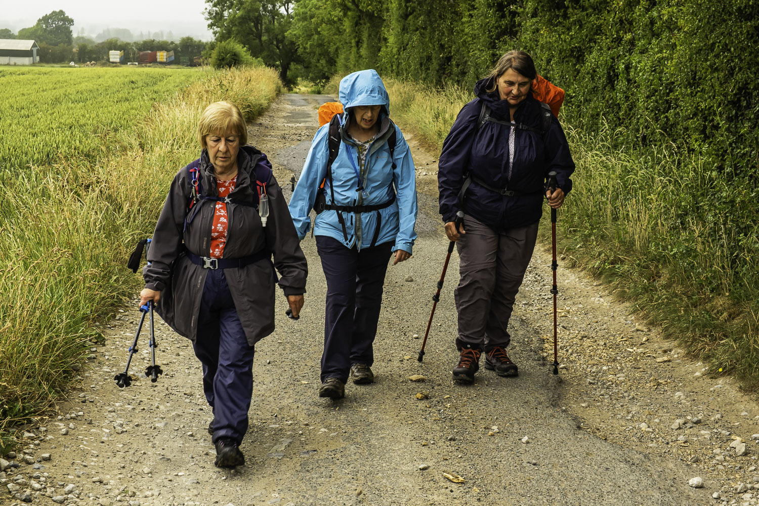
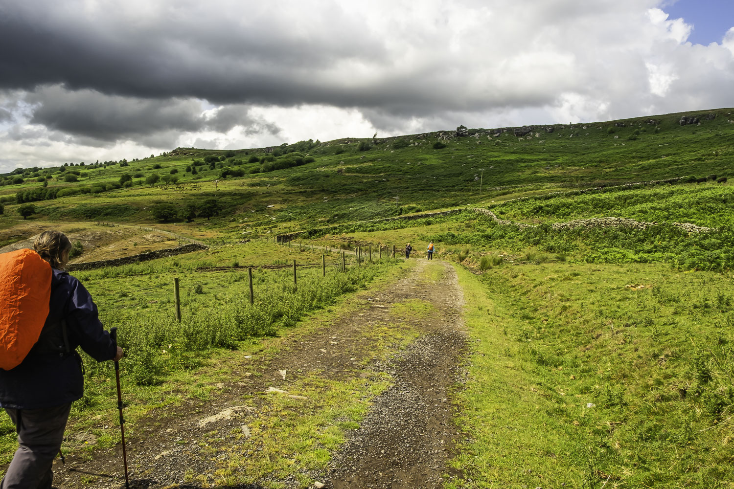
Four of us left the coaches near the junction of the A172 and the B1365 about 20 min later than expected due to major traffic problems on the A19 because of the closure of the A1M. In addition, I agreed with Norman to have his drop-off for our 2 walks which meant that we added about 0.25 mile to my walk. Anyhow, after walking WSW along the A172, we turned SSE at Skate Beck Bridge and headed for Great Busby. As it had begun to rain we stopped here at a farm where a building with an overhanging roof and a concrete floor gave us some cover for our coffee stop.
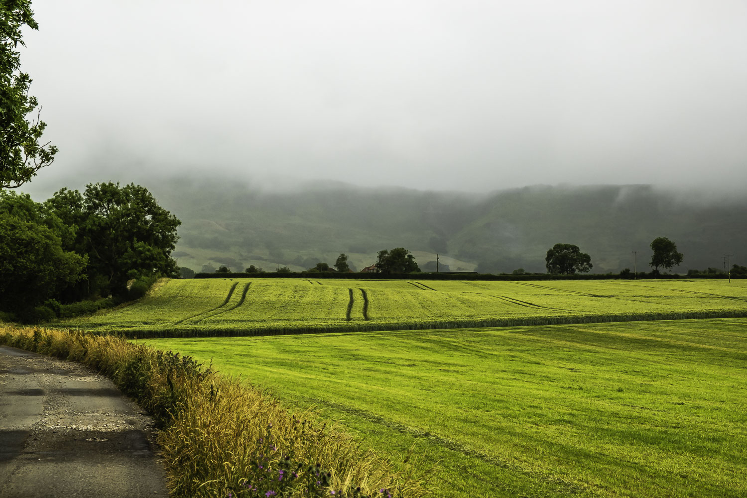
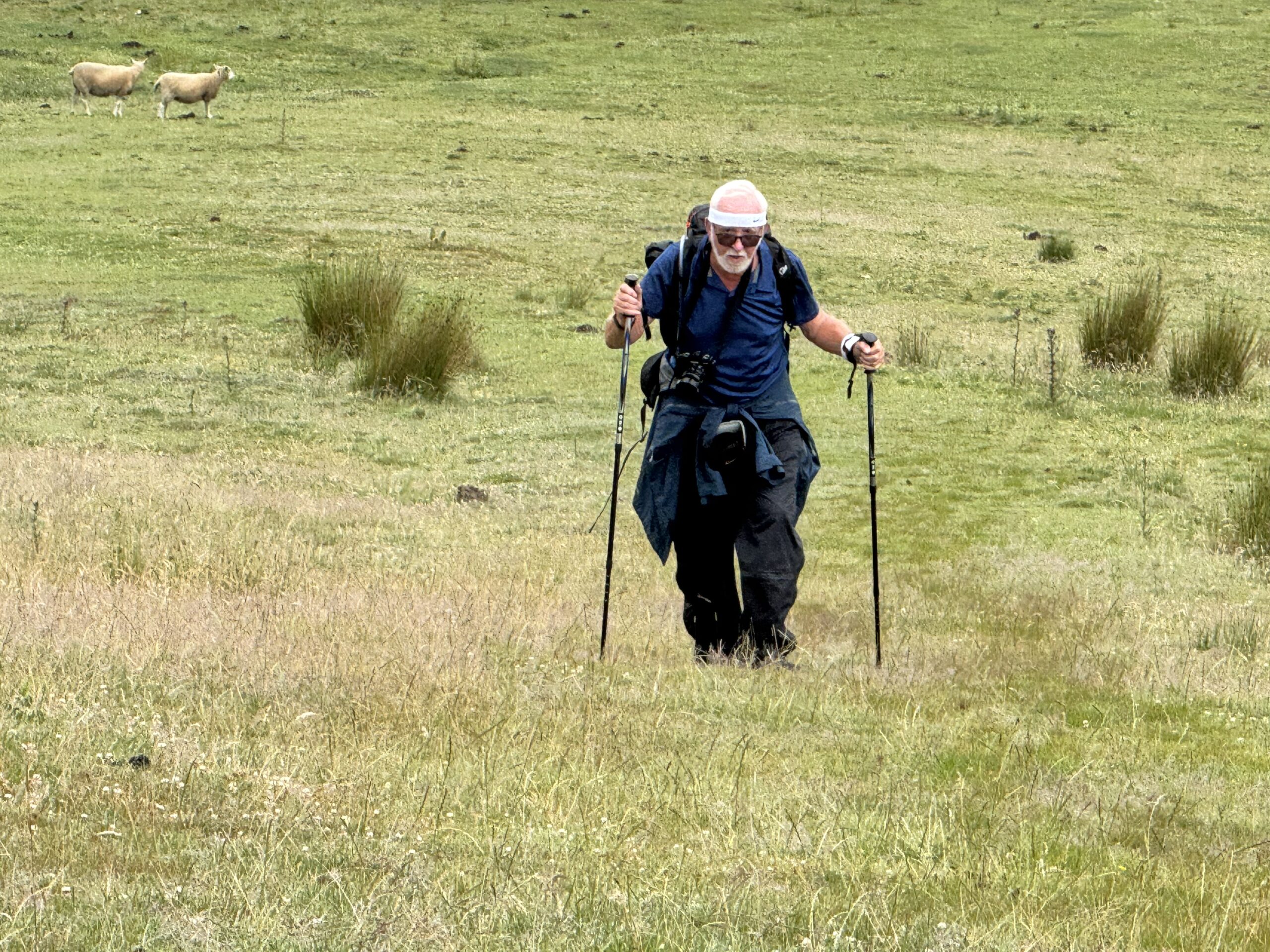
After coffee, we continued SSE towards the Cleveland Hills and it became a bit concerning that we could not see the Cleveland Hills, they were covered with misty cloud. Passing Cote House it was even worse and it wasn’t until we were approaching Manor Farm that our route ahead became visible. At Manor Farm we headed E for a short distance then climbed SE up a grassy field before turning S, climbing on a narrow path with bushes (some of them thorny) on either side. We eventually made it to a good east-west path which was not on the map, I must say the 3 females making it a lot quicker than me. The map indicated the path continuing S but there was no obvious path. Eventually we found it – it was only offset from the previous S path by about 5 metres but it was so narrow and unused, it was barely visible. With no obvious alternative, we decided to go for it. Put it this way, there will be a cross put through this path on my MemoryMap software – never again, certainly not with an arthritic knee. Eventually we reached the top with me bringing up a distant rear once again. The top was a good fairly level path heading SW. After about 0.5 Km this path joined the Cleveland Way and we continued W through a couple of dark thick woods before the Way descended towards Loadstone. I had intended stopping here for lunch and hoped the cafe was open because about 5 min before reaching the buildings the heavens had opened and we were in the middle of a downpour. In the event, it was even better as there was a marquee with tables and chairs, so we sat in there, enjoying our lunch and drinks. Because of the continuing downpour we actually had a 40 min lunch-stop.
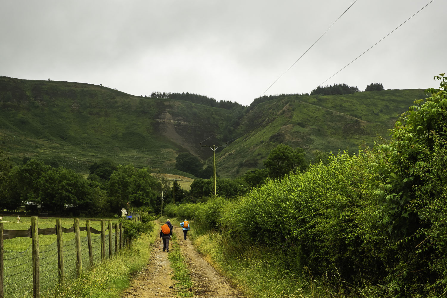
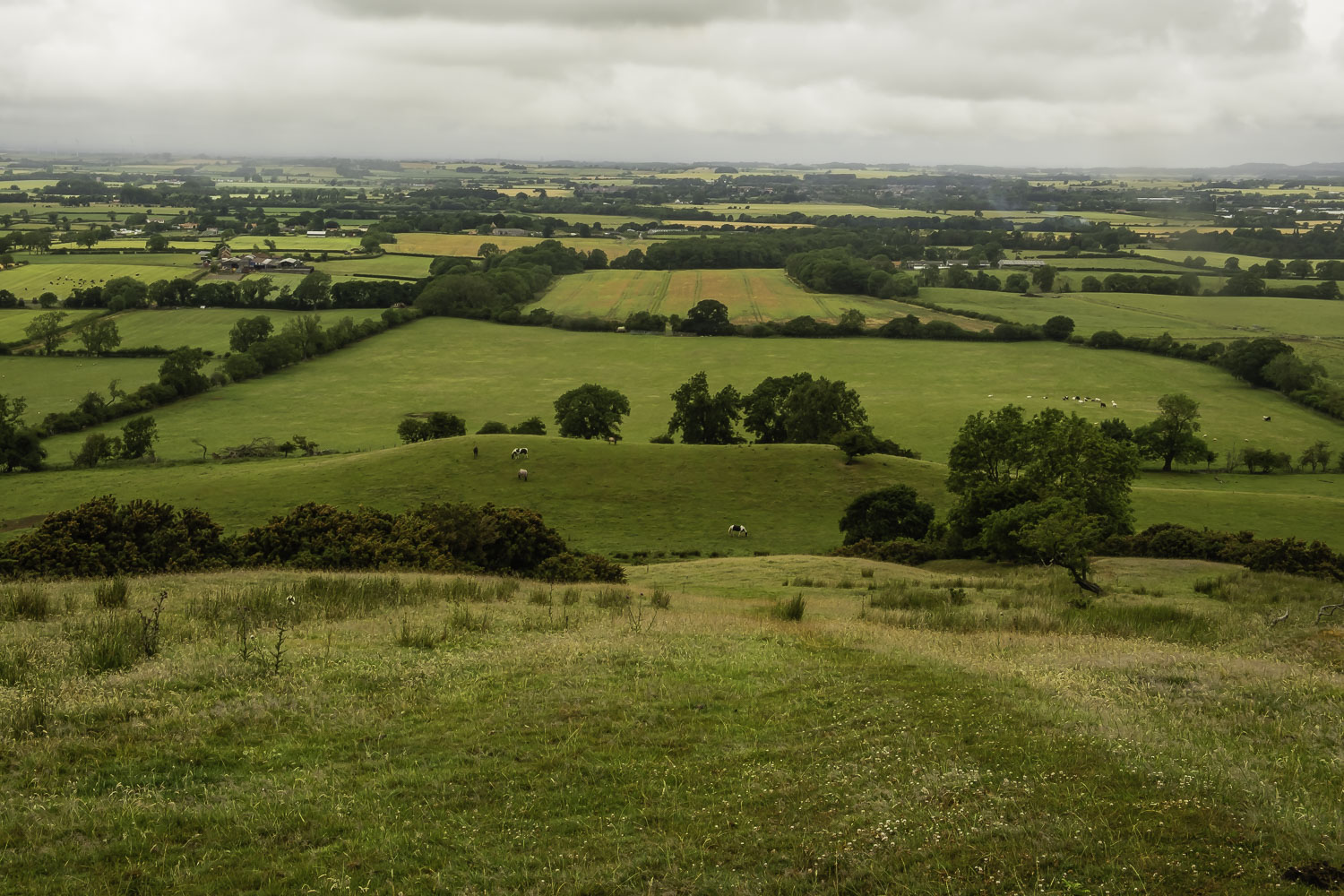
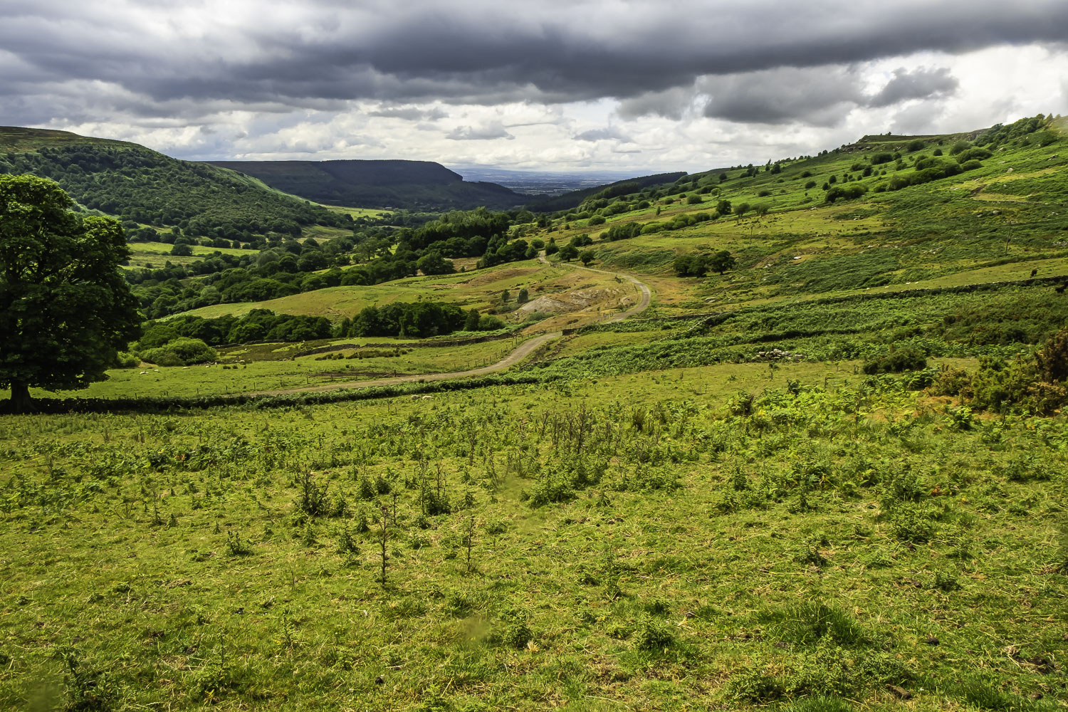
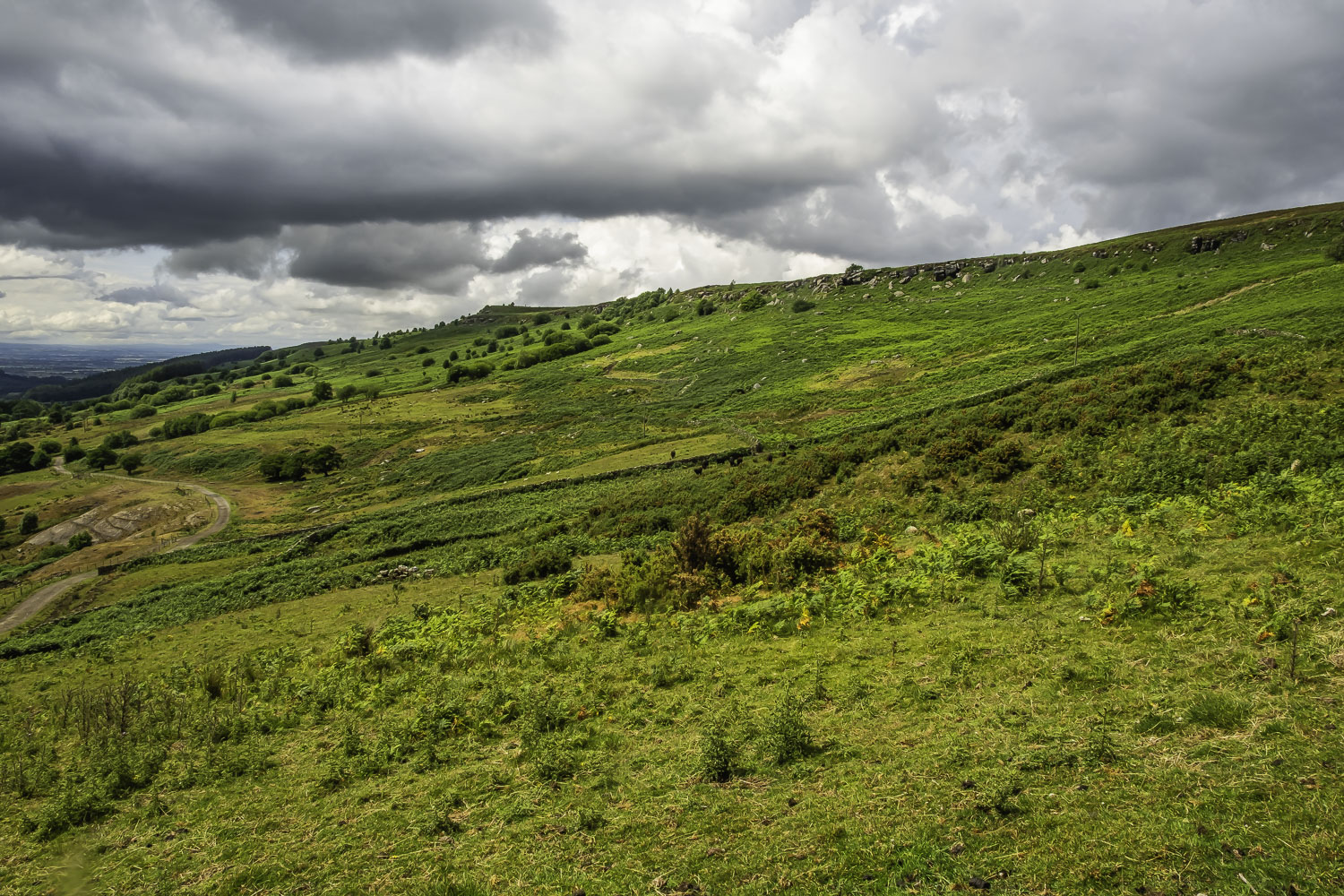
During the lunch stop we discussed the optimum route to continue the journey as we were well behind time with a possible difficult descent through Barkers Crags. However we decided to proceed with the original route with the slightly longer but easier descent rather than the alternatives of using the road to Carlton and Faceby or continuing on the Cleveland Way which was shorter but with significantly more climb. So we set off on the Cleveland Way route and then after a short distance, bearing left (S) on a wide if rough track. After a climb of about 80 m the track leveled out and we were in the midst of an area containing a number of tracks. After initially taking the wrong track for a short distance, we followed a track heading SSE and this brought us down to Bilsdale West Moor. I say down advisedly as the track was descending slightly. During the walk across the moor we were faced with another couple of showers but fortunately these were relatively light. Eventually we arrived at Brians Pond where a number of tracks/paths meet and I decided to take the left of them as it was the best defined and appeared to be the longer track with the easier descent. Sure enough it was the correct route and we passed through a gap in the eastern continuation of Barker’s Crags. We could now see a good track below us heading down the valley although getting to it involved a couple of steep descents and a climb over a locked gate. Initially the track, while wide, was stony but when we reached Scugdale Hall it became tarmac. Looking up at Barker’s Crags and the route I had originally planned, it did not look as bad as I had remembered from a couple of previous walks – perhaps it would have been OK, saving quite a big detour. As we walked along the road the sky brightened and we started to see some sunshine. This helped us on our way as we passed Raikes Farm, Sparrow Hall and appropriately Sunny Side. Before Huthwaite Green, I had intended joining the Cleveland Way and doing a loop to bring us into Swainby via the ruins of Whorlton Church and the castle. However, as we were short of time, we continued along the road past Millfield House and into Swainby. By removing the loop we managed to arrive at Swainby 55 min before the coaches were due to depart.
Not the best of walks with the climb up Busby Moor causing significant problems, a slightly difficult descent, the downpour and other periods of rain plus problems with my phone GPS and my watch. It certainly didn’t do my knee any good either. The rain and my other concerns also meant that I took very few photos.
Click on any photo to view full screen. Move through the gallery using the < > arrows.


")


To view the route, click on the adjacent file name 250702 Swainby