16 – 09 – 25 PICKERING
Distance 19.5 Km (12.1 miles) Ascent 330 m (1080 ft) Average moving speed 4,18 Km/hr (2.6 mph) Start 10.46 am Finish 17.30 pm
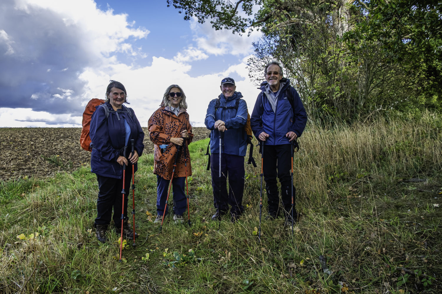
Leaving the coaches at the Hole of Horcum car park on a bright sunny morning, 6 of us crossed the road to the viewpoint. We then headed S above Horcum Wood. Unfortunately the view was not great as bushes and trees were a restriction. Crossing a broken fence we headed into an open access area and headed SW across grassy fields before joining a footpath towards a RoW. Unfortunately there was an unaccessible fence in the way so we walked S again towards High Horcum Farm. Just before the farm we went into a field with a pavillion and sat on the steps of the pavillion for our morning stop.
After the stop, we headed NW to reach the end of the RoW to which I had been aiming.. Initially heading south towards Far Black Rigg we then headed generally SE towards Warren Farm. Passing the farm we joined the A169 for a couple of hundred yards before taking a path on the right through woods towards Lockton. At the east of Lockton we crossed the A169 (Lockton Lane), headed S down a grassy field and then thro Thwaite wood. Just before Staindale Lodge we stopped on a sunny grassy bank for our lunch stop.
After lunch we tried to head S past the Staindale Lodge on a RoW but the gate was locked. It became very obvious that the owner of this impressive lodge was not a friend of walkers. After a detour we were able to return to the RoW we wanted and we headed S on a track through fields and then a wood until we reached a minor road opposite Low Dalby. Unfortunately during this time we suffered a fairly heavy rain shower, however, we continued S along the road as it climbed gradually through Lower then Upper Dalby Wood. Before leaving the road we had a good view down to Thornton Dale but we then joined a rough footpath which swung westwards. This took us to Kingthorpe Common and after crossing a road we went slightly left before heading W alongside Common Plantation. At the top of the track, I realised that according to the map, we should have taken a path on the left about 30 yds earlier so we back tracked took the path and after climbing a stile realised that we would have been better turning left at the end of the track. The map showed the path crossing the field diagonally but after heading onto the “soil” I decided we should go around the edge. This brought us to a short but fairly steep descent to Low Kingthorpe farm. After making our way around the farm we continued on the path which turned SW leading to Howl Dale. This was an easy flat path which subsequently became a track when we entered Howl Dale Wood. The long trek thro the wood was quite pleasant with trees on both sides but a fairly flat gap between the two sides. Reaching the end of the wood, slightly to the west of Hagg House we turned W along a track which became a road and this took us into our destination of Pickering.
Not the best of walks from my perspective. A big problem with the open access area which involved poor map reading on my behalf and lack of gates or stiles, coupled with a detour around Staindale Lodge due to an unfriendly land owner, resulted in a longer walk than planned. The lack of colour (dry weather?) in Hole of Horcum and a heavy rain shower later in the day did not help the enjoyment level.
Click on any photo to view full screen. Move through the gallery using the < > arrows.


To view the route, click on the adjacent file name 250916 Pickering
Hi Peter. Finally catching up with the photos.
They are such wonderful reminders of a great walk. Im certainly missing your walks and all the beautiful photos
Julie