10 – 09 – 25 ALLENHEADS
Distance 15.4 Km (9.6 miles) Ascent 400 m (1312 ft) Average moving speed 4.3 Km/hr (2.67 mph) Start 10.03 am Finish 15.42 pm
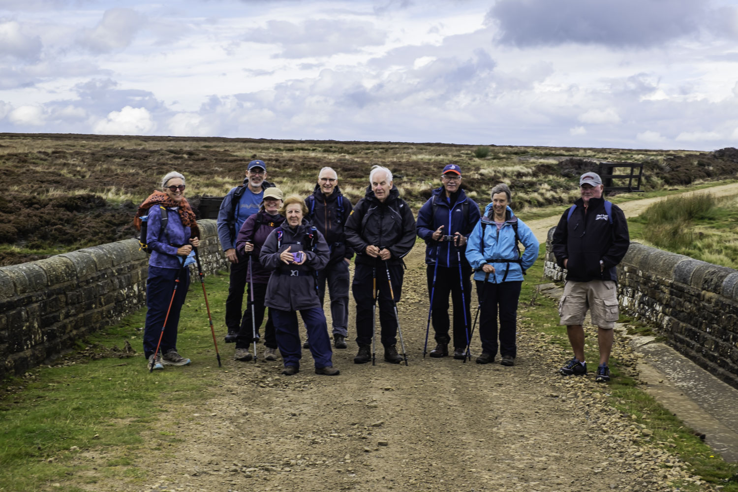
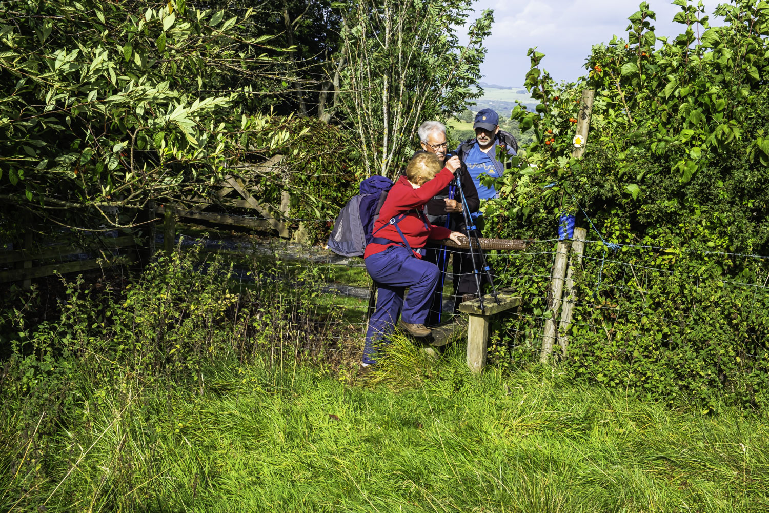
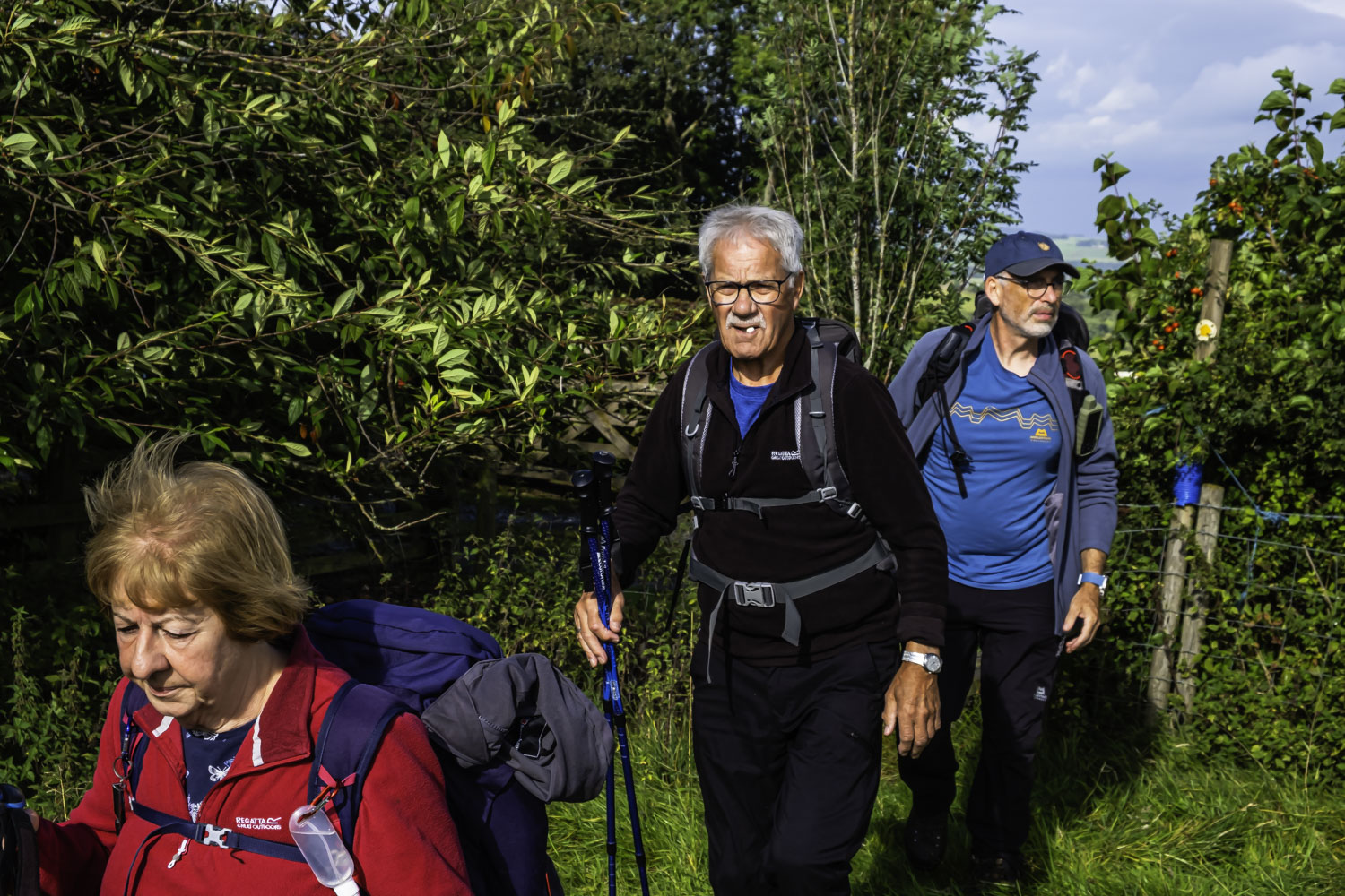
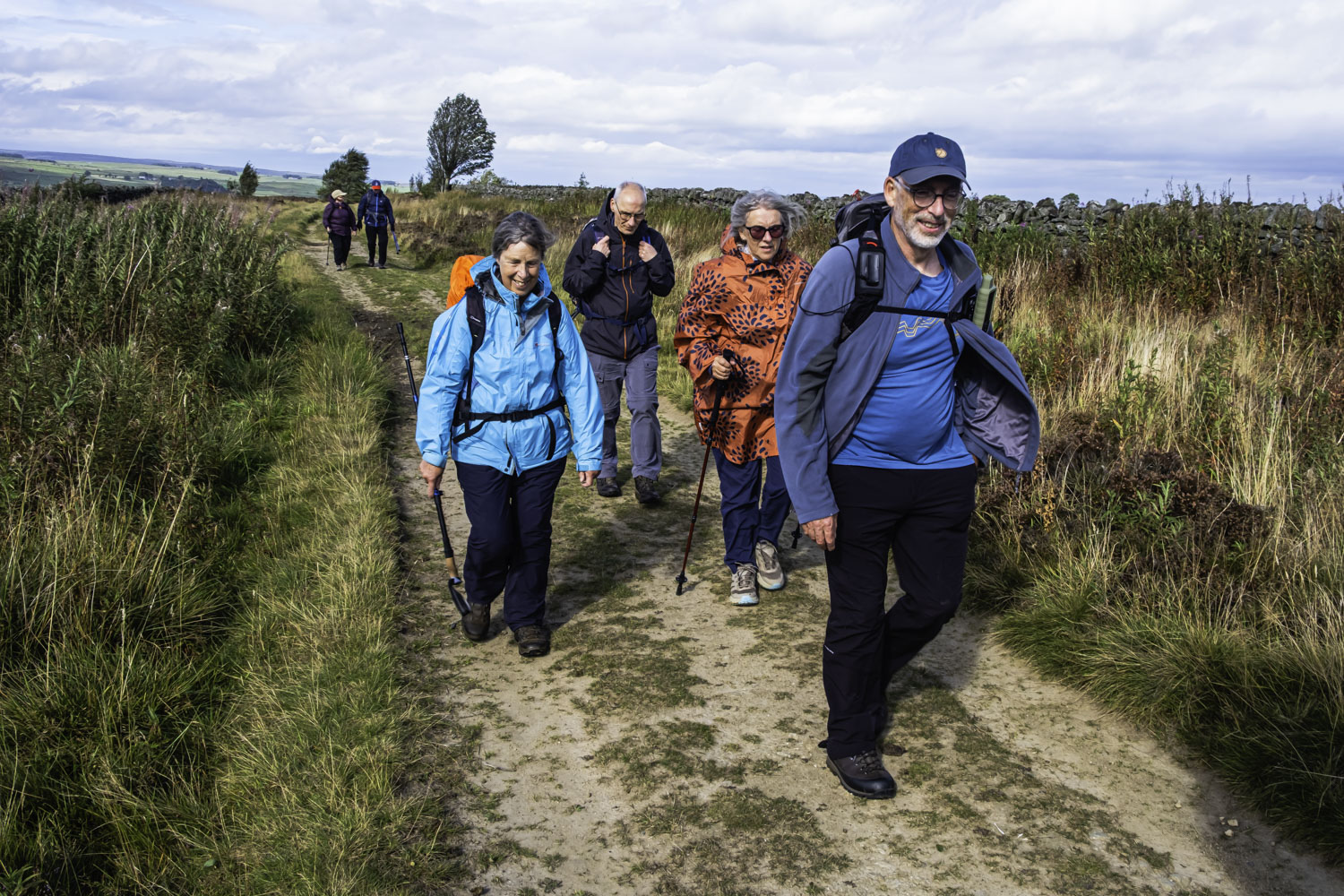
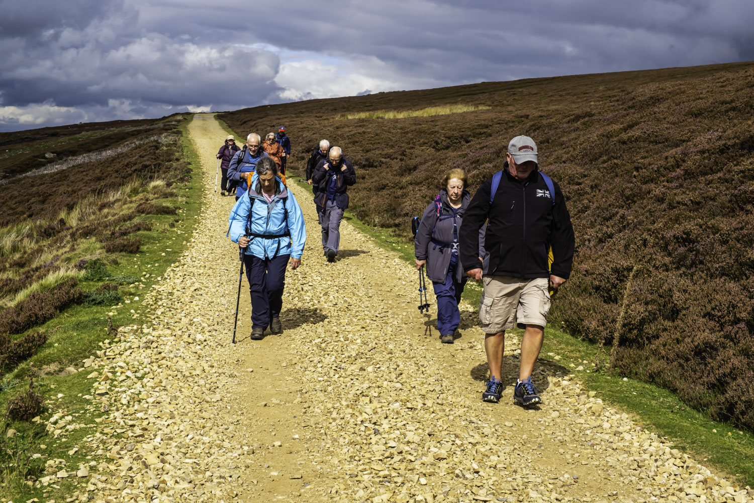
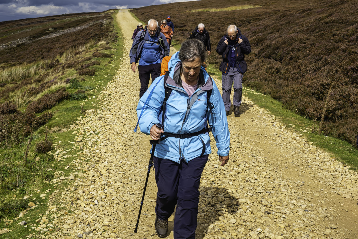
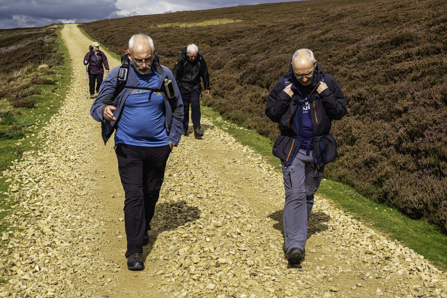
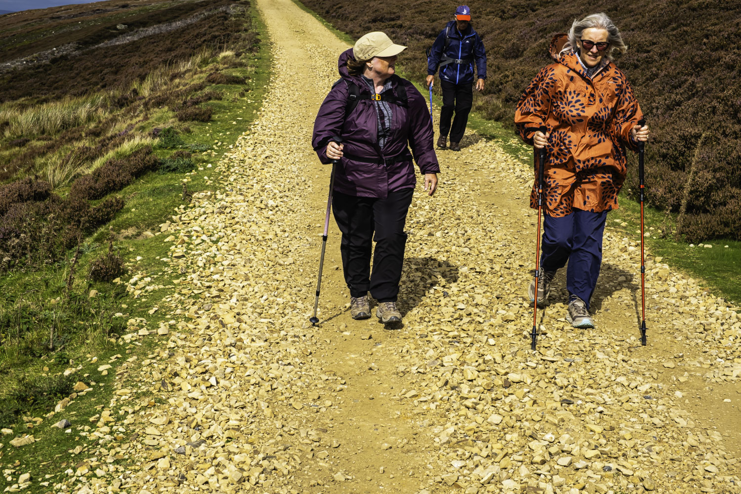
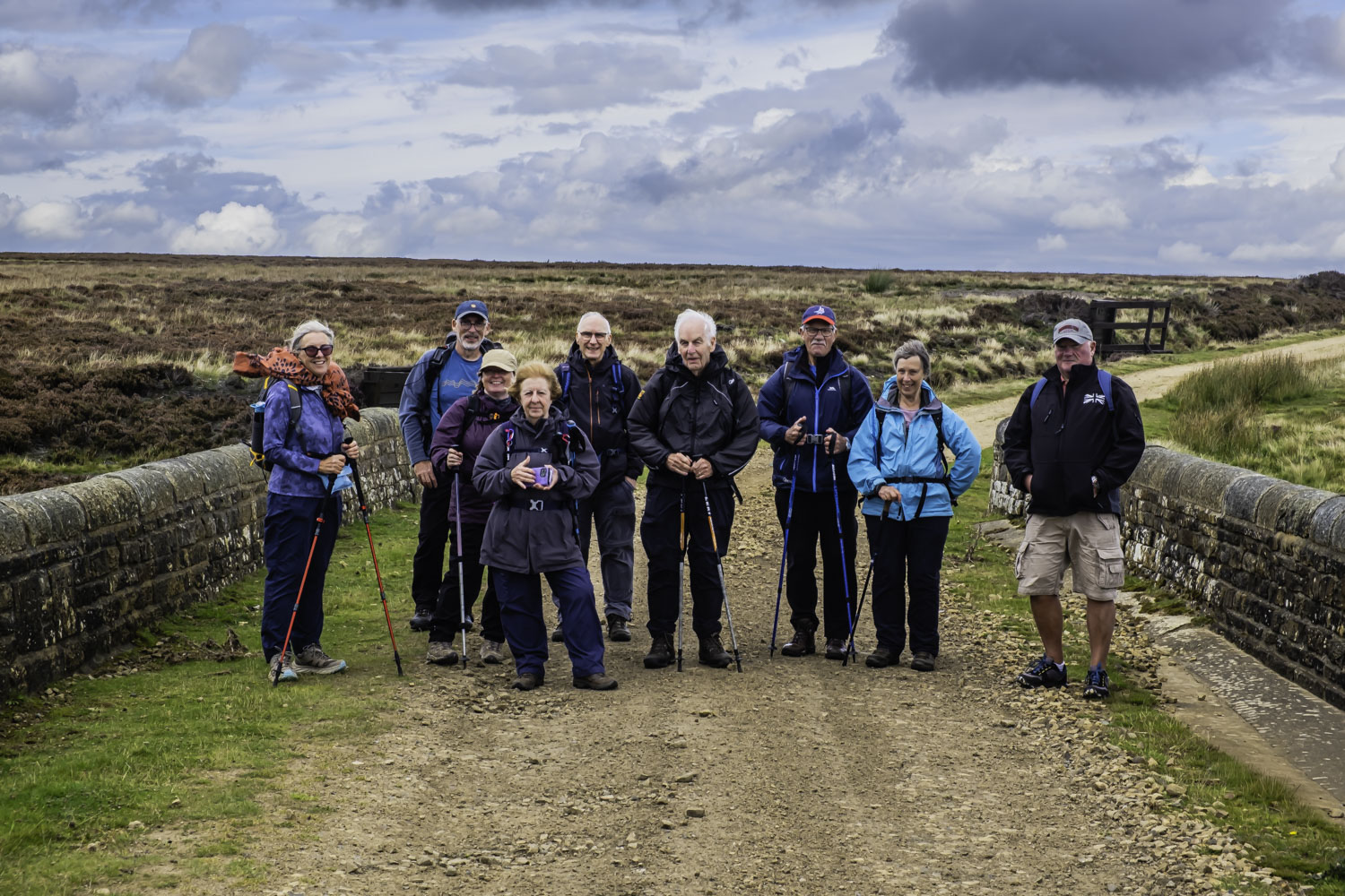
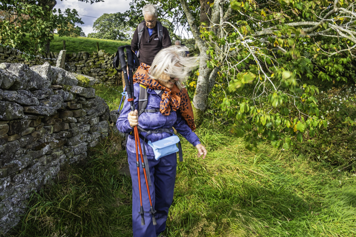
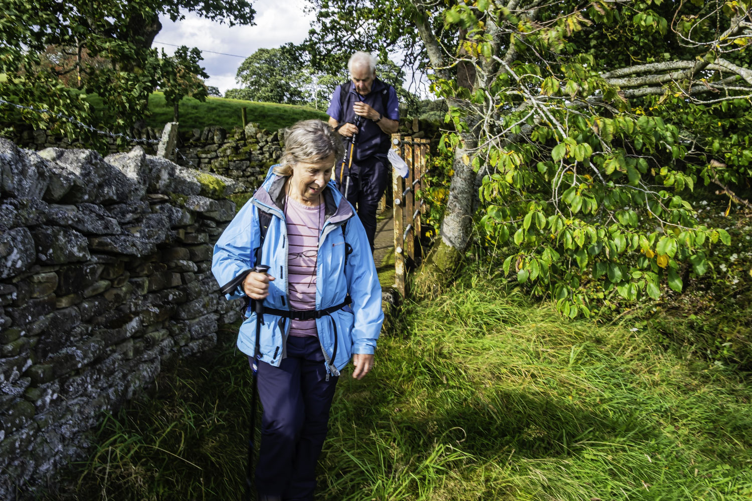
For the first time, Florence both planned and led this walk. Ten of us left the coaches just to the south of Allendale at Wentworth Park on a dry day but with rain forecast for the afternoon and a headwind for most of the walk. After about 100 m along the road we climbed a stile and then climbed SE up a fairly steep Prospect Hill with no path on the ground. After another couple of stiles we continued SE to Finney Hill Green where we sat and had our coffee stop just outside the wall around the buildings. The wall offered some protection from the relatively strong wind.
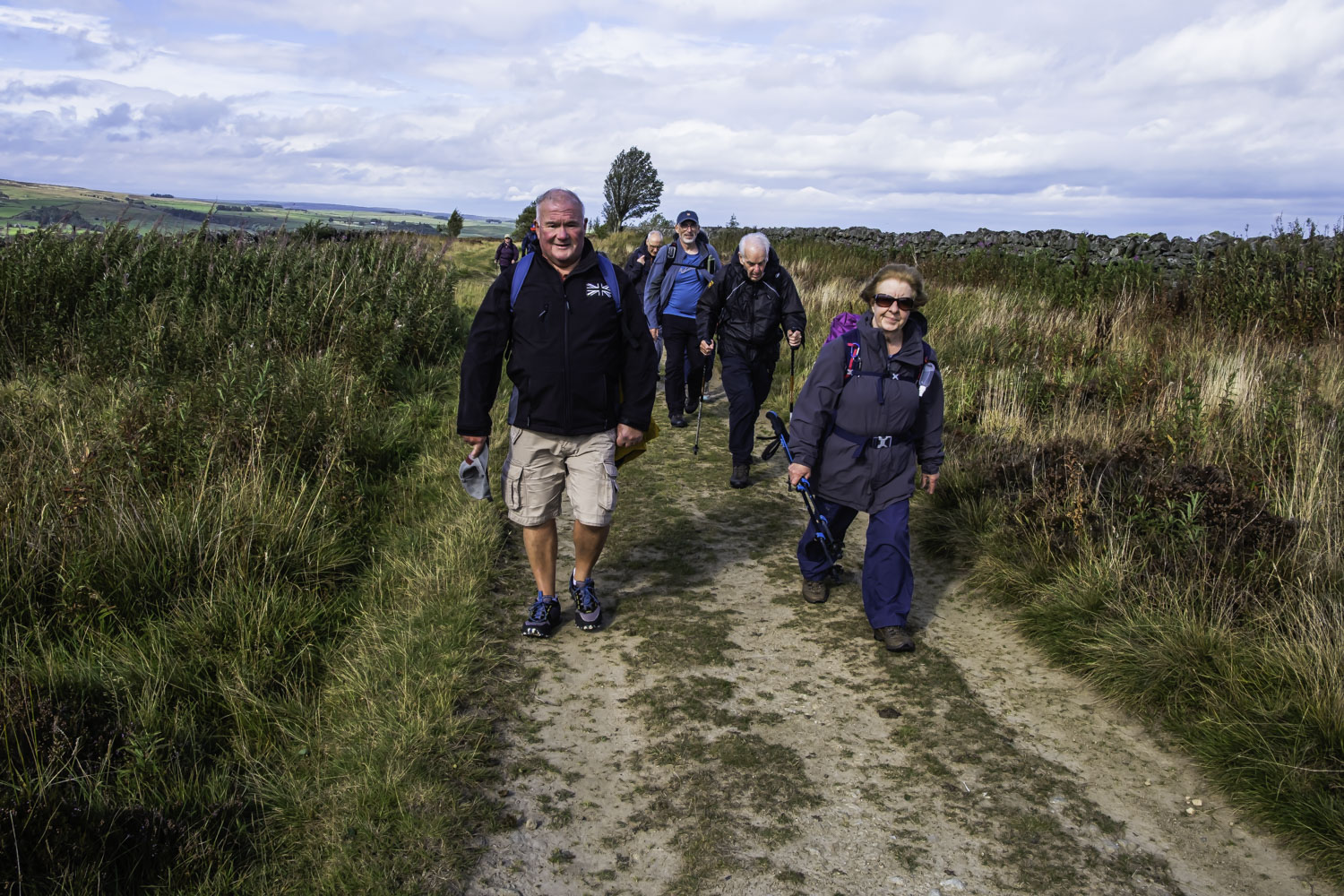
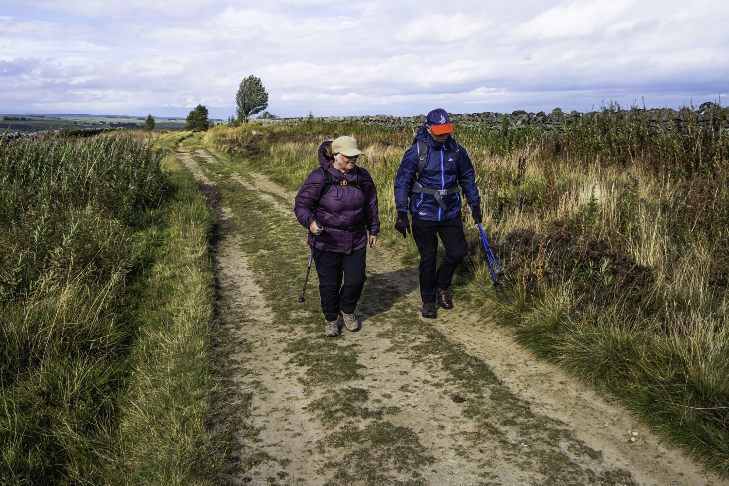
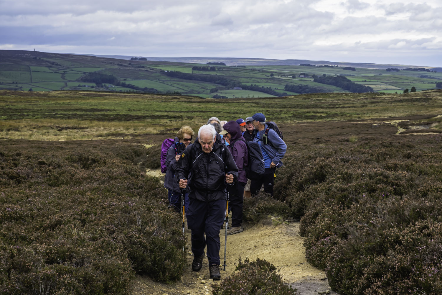
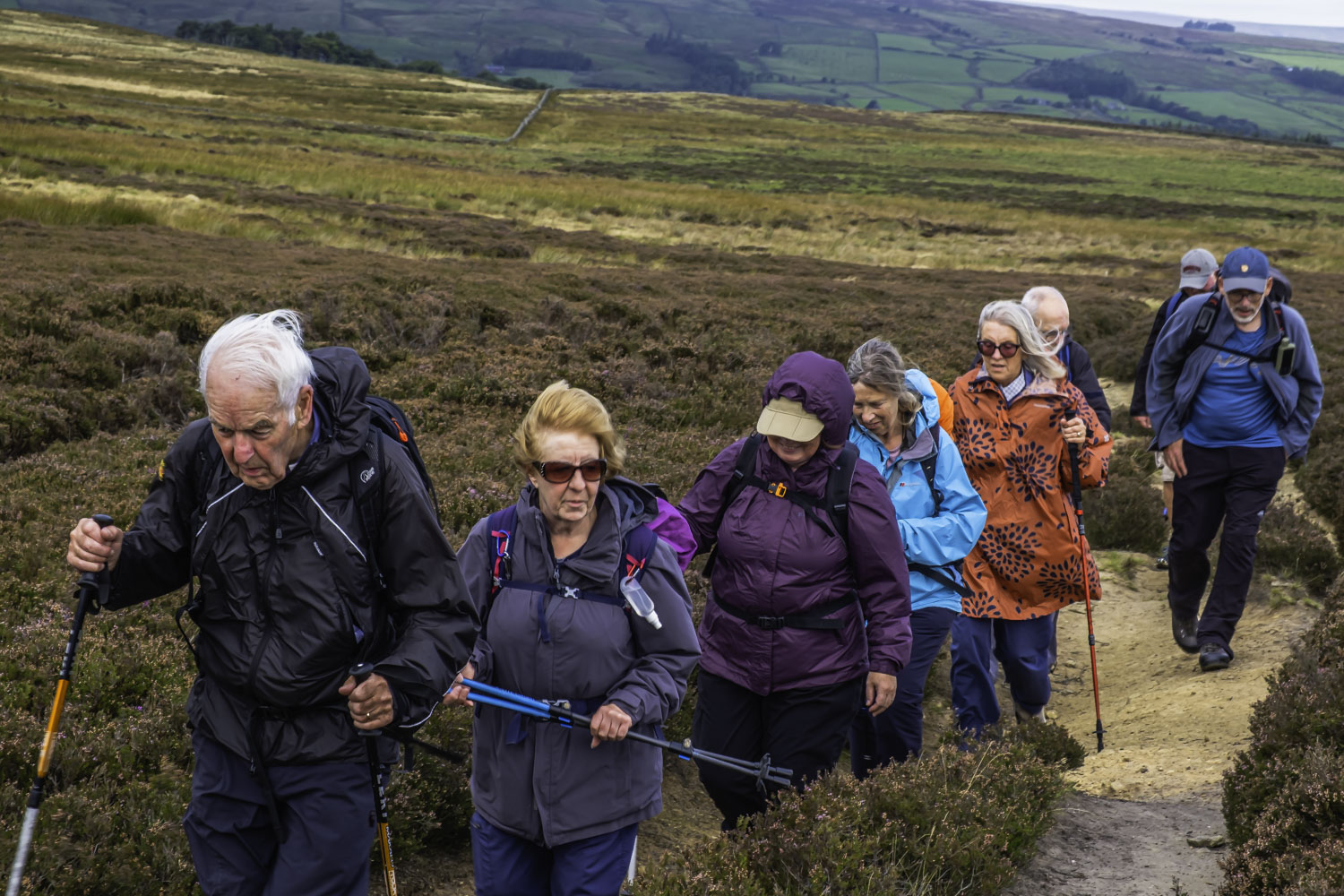
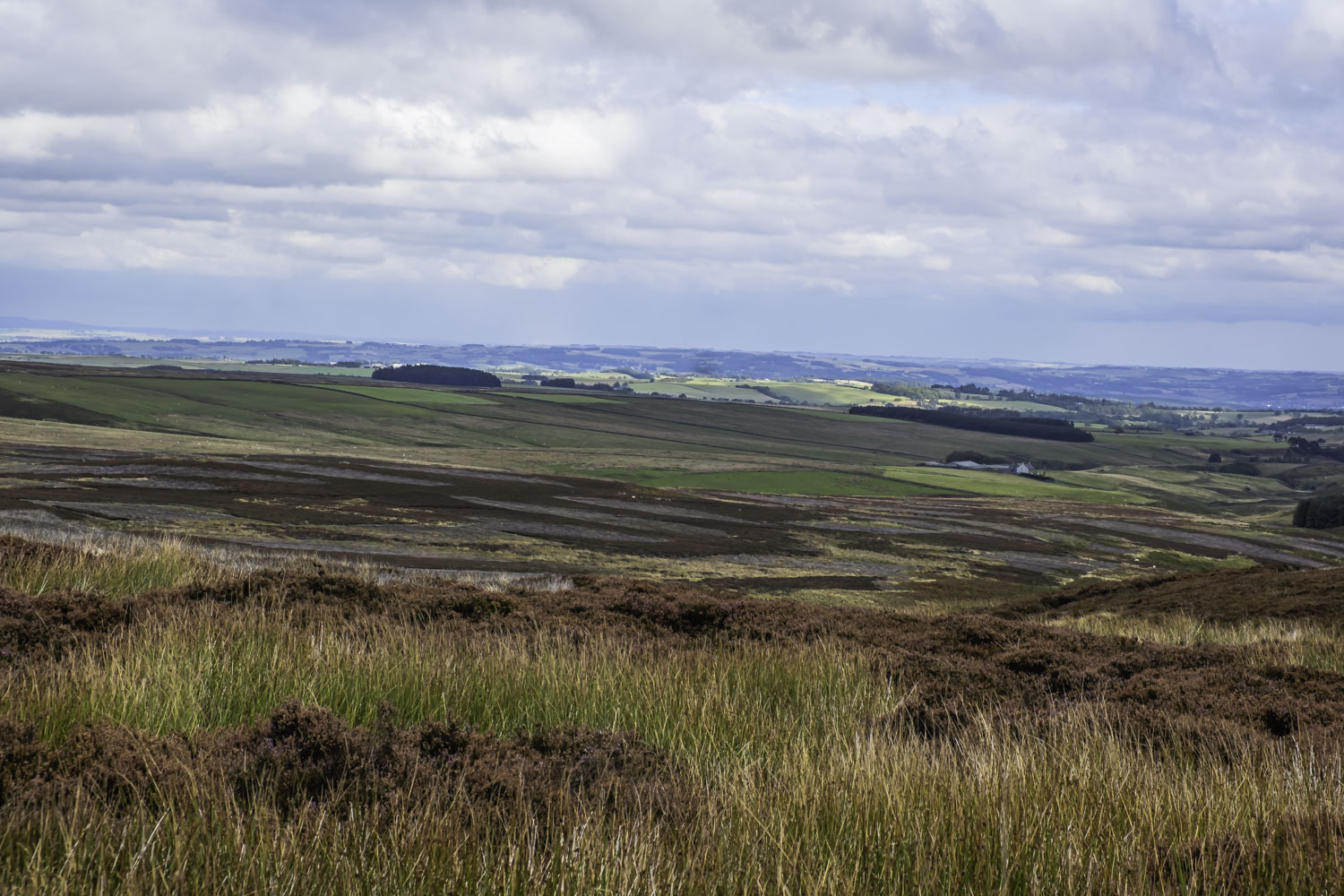
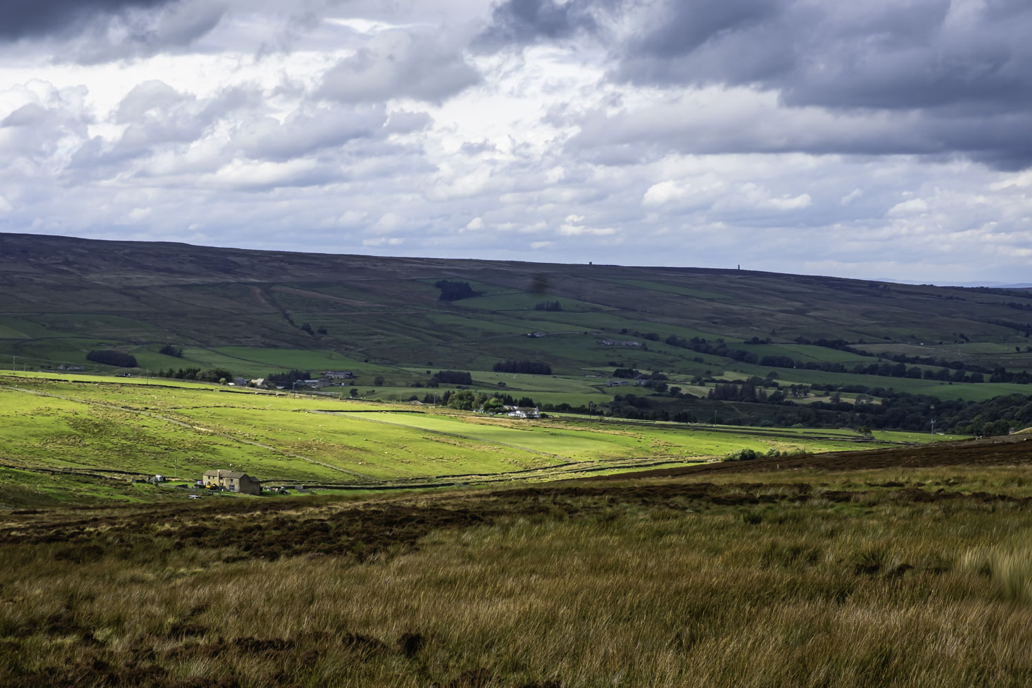
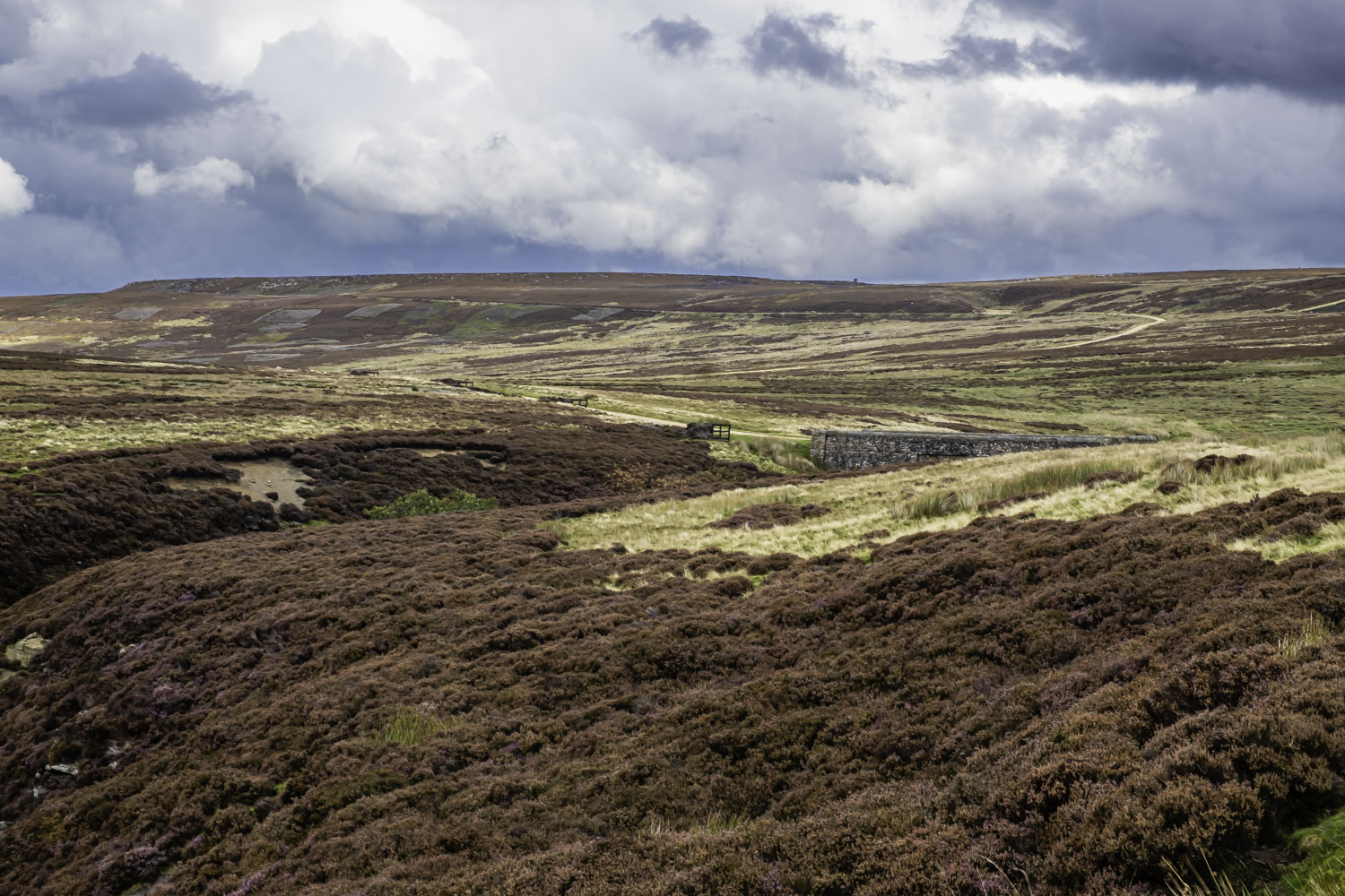
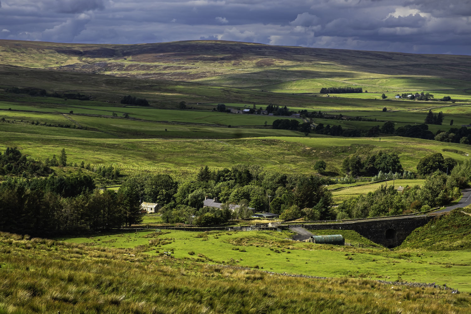
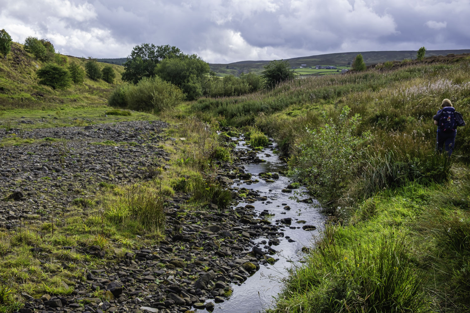
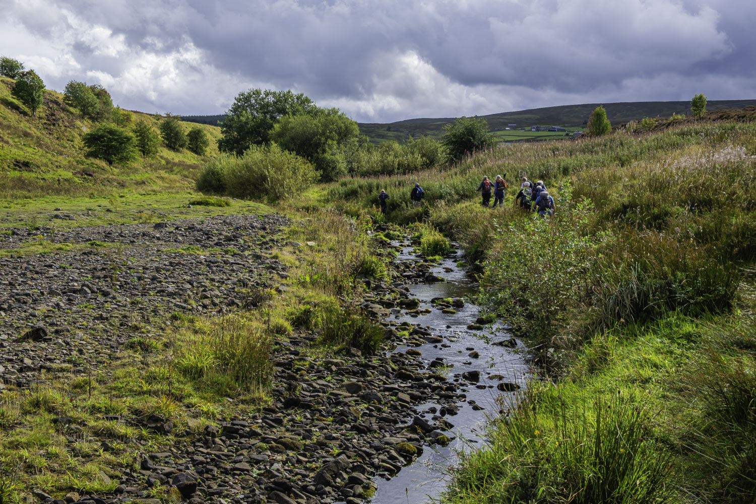
After our stop we continued SE to High Scotch Hall and a nearby minor road. Crossing the road, we continued SE along a good track with rough fields either side. After about 1 Km we came to Haggerstone Moss which is open moorland. Unfortunately we were about a month too late as the heather was dying back although it did add a bit of colour to the scenery. We soon passed Stobb Cross on our LHS. I looked to see if there was an easy path to the cross which was about 100 m away but there was nothing obvious although I had been up to the cross on a couple of occasions a few years back. Continuing on, the track turned SSE and we had a steep descent to the burn running through Knight’s Cleugh. Of course there was the inevitable steep climb out of the cleugh although at the top, Florence indicated it was a good time for a drinks stop. Continuing on, near Blaeberry Cleugh several tracks came together and we joined a track which turned westwards and then as it turned S it became the Long Drag both in name and in reality as it was a long gentle climb. After passing the rocks of Sinderhope Carrs on our LHS we gradually started descending from the moor and had good views of the East Allen valley on our RHS. On reaching the bridge over Sipton Burn we had our lunch stop in good sunshine although it was still windy.
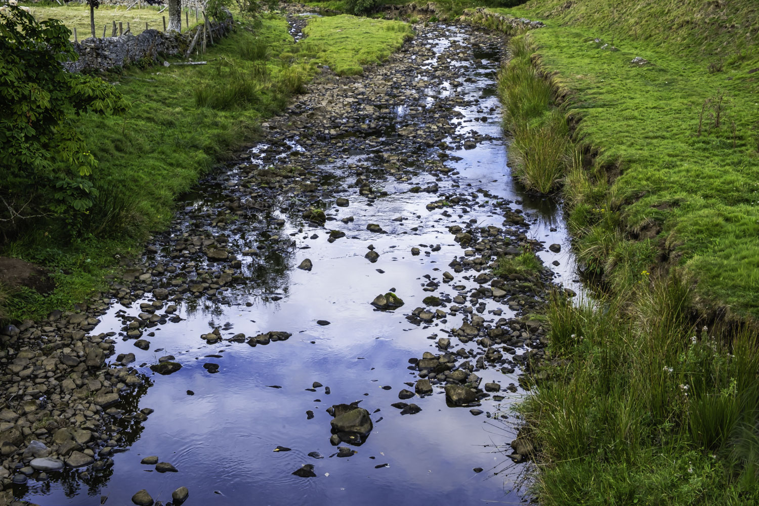
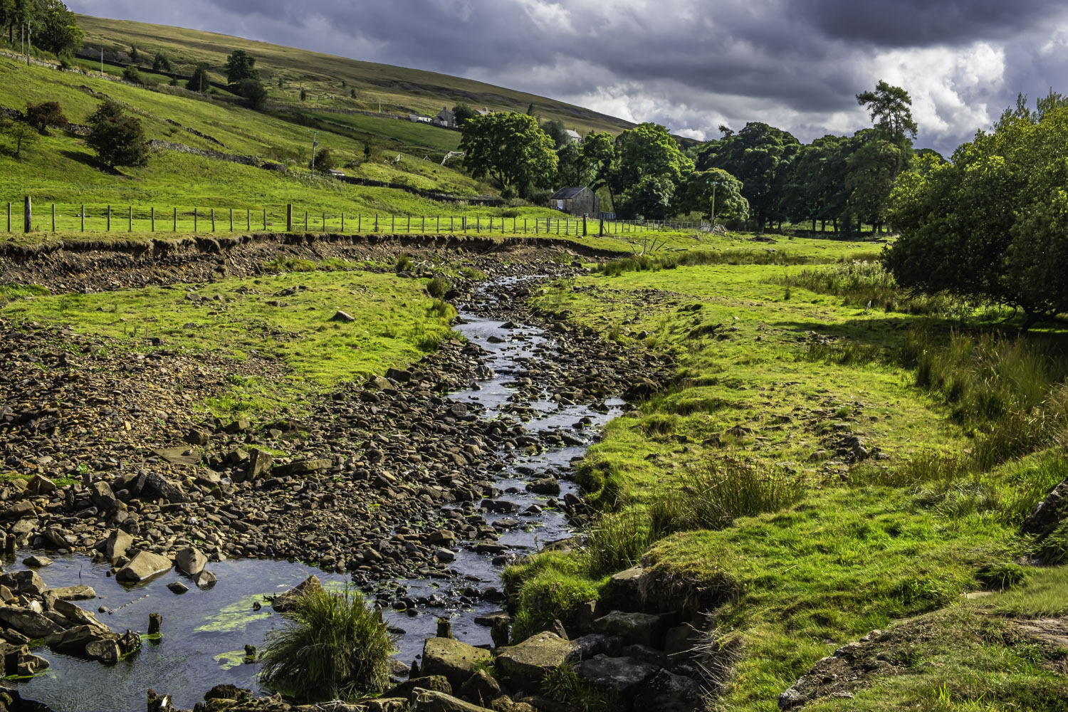
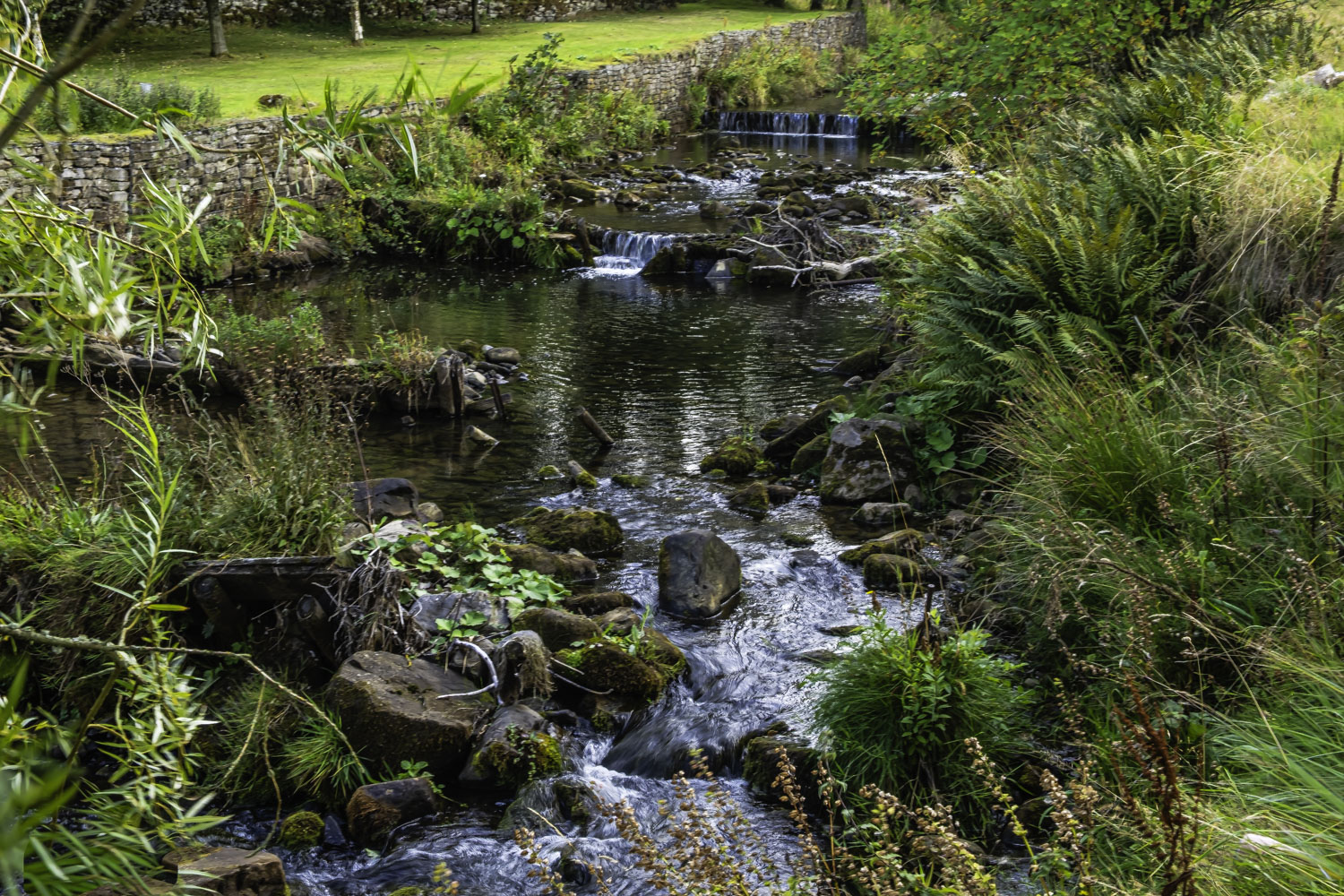
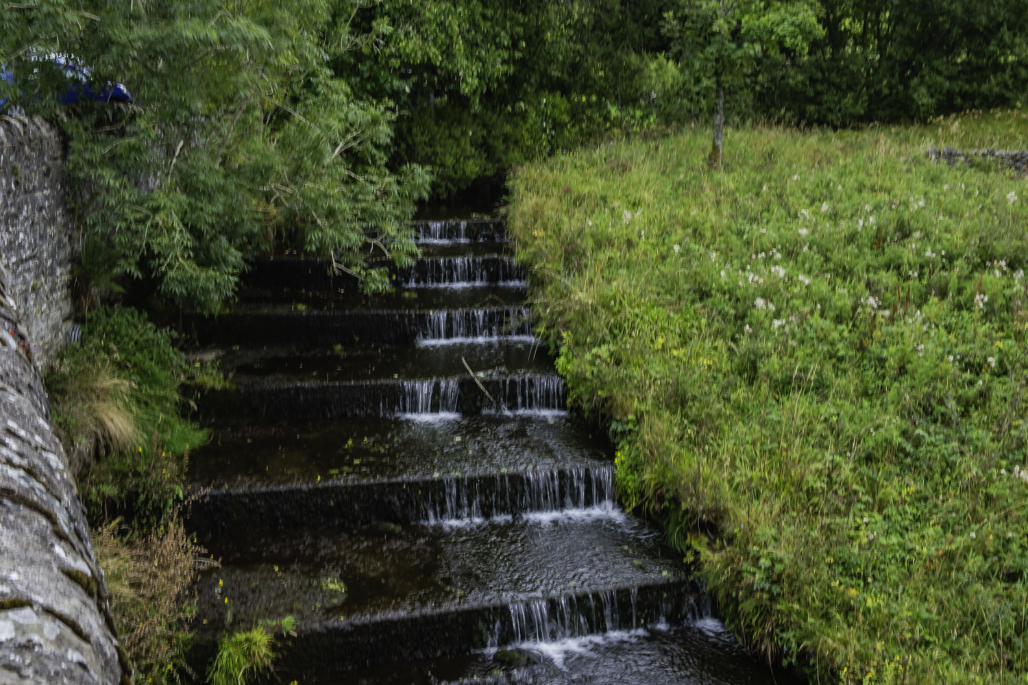
After lunch, the descent became slightly steeper but still provided good walking. Just before Ellershope Bridge we reached the B6295 which we crossed and then made our way W then S to cross the River E Allen next to the corn mill and a chapel. Our route from here was essentially S along the west bank of the river and finally along the B6295. This made an interesting change from our time crossing the moor and while there was little water in the river, the glistening intermittent sunlight made it quite scenic especially with the hill and moors in the background. Near the weir, close to Burnfoot, we had our afternoon stop right next to the river – an excellent location, especially as it was sunny and sheltered. During our stop we were passed by Bill’s group but we continued to enjoy the stop.
After the stop we continued on a footpath along the west bank of the river. On reaching the northern edge of Dirt Pot we joined the road and made our way into Allenheads under a darkening sky. At Allenheads I sat in the luggage area of the coach to remove my boots as usual. When I stood up again and went to the coach door, the rain had started and was quite heavy during the trip to and from the nearby pub. Excellent timing Florence.
We had plenty of time in the pub which was not crowded and therefore very pleasant – a good end to the day after a very good walk. Thanks Florence.
Click on any photo to view full screen. Move through the gallery using the < > arrows.


To view the route, click on the adjacent file name 250910 Allenheads
Another lovely walk. Great photos too Peter they really capture the beauty of the area.
Thanks