18 – 08 – 25 SEDBERGH
Distance 15.2 Km (9.5 miles) Ascent 272 m (892 ft) Average moving speed 4.11 Km/hr (2.56 mph) Start 10.49 am Finish 17.17 pm
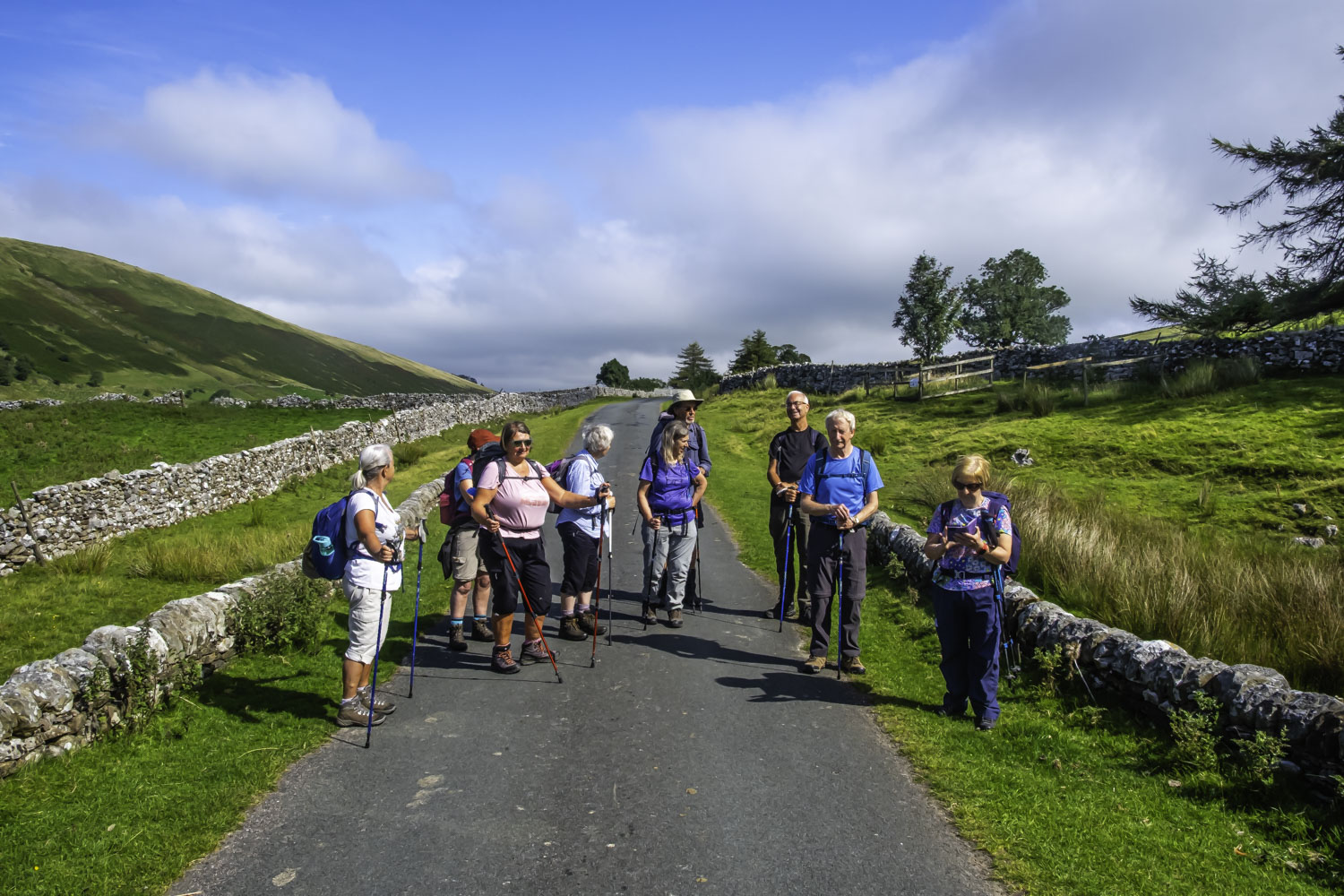
Although there was a bit of a pull-in at Studford, Steve, the driver, wasn’t happy as there was a solid white line so he stopped at the next RoW, just a little further down the A693. Florence, who was leading the walk, took one look at the “path” and suggested we try the original path. In the event, the path from Studfold was significantly better, so we headed up the slight hill to the minor road. Joining the road, we headed SSW in beautiful sunshine and a good walking temperature. The views were excellent with Harter Fell standing majestically to our right. As we walked down the road, I was reminded of the last time I came this way about a year ago, when it never stopped raining from getting off the coach to reaching Sedbergh. Halfway down the road we stopped for a coffee stop next to waterfall except there was no water in the stream.
On our way again, just after passing the farm at Streetside, we took a left fork, again on a minor road, and made our way down the north side of the Rawthey Valley. We passed the track leading down to Needle House and almost immediately afterwards the road was replaced by a track. We then entered a wood which made navigating slightly more difficult but Florence did a good job of leading us to the bridge over the Rawthey Burn where we had a good view of the burn cascading over the rocks. After crossing the burn, we had a short steep climb onto the SW side of the valley. A reasonable, but not great path then continued NW onto the lower slopes of the moor past a kiln and across several dried up streams which had left a boggy area across the path. As the path headed past the ruin of Intake House, we had an excellent view of Wandale Hill, partly lit in the sunshine. A bit further on, the path gradually turned westwards and then as we started to descend we joined with another path heading SW which brought us parallel to the valley of the River Rawthey. Just after passing the farm of Bluecaster Side we found a nice sunny spot for lunch.
On our way again, we continued SW on what was now a track and after a short distance we turned right onto a poorly defined track and made a steep descent across a meadow then across the A683 near Wardses to head to the river. We turned SSW just before the river, onto a path that was not very obvious. Heading thro a couple of fields, we arrived at the farm of Beck Side where a friendly lady from the farm directed us to the footbridge across the river without Florence even asking for help. Once on the west side of the R Rawthey we headed south past Brow Side with no obvious footpath on the ground. A little further as we neared Crookholme, we needed to take a footpath turning thro 160 deg, however, there was no obvious path on the ground. Florence carried straight on, even though a couple of us shouted for her to wiggle (reference to an earlier conversation where we said the path had several wiggles!!) Rather than back-track we decided to climb up to the “A Pennine journey” FP. However a high wire fence prevented us reaching the path. So with some difficulty we headed back, eventually finding a route (rather than a path) onto the “A Pennine journey” FP. Once on the FP, the walking was much easier although not as good as I had expected from a named and fairly popular path. In addition it was very warm and becoming slightly humid. We continued SW until Dorothy alerted me to the fact that a new member on his first walk seemed to be struggling. It seemed that the likely problem was dehydration so other members gave him a couple of spare bottles of water and we carried on after taking his very heavy rucksack from him, sharing the carrying between the other 3 males in the group. We then had a stop below Fawcett Bank where everyone took on more fluid. On our way again we passed Thursgill where the path became a road. We continued down the road to Buckbank where we left the road and took the “A Pennine journey” FP towards the river. At Straight Bridge we crossed the A683 and continued on the FP. By this point we had made several stops to check on our new member as he was leaning to the right very badly and he looked as though he would stumble. Therefore our progress was slow. On reaching Settlebeck Bridge, Florence and I had a discussion re whether we should take a direct route to the buses because of our concerns. Just then I received a call from Charles wondering where we were. Explaining the situation, I asked him if one of the buses could pick us up. Charles checked with the drivers and suffice to say we completed the last ½ mile in the bus.
Florence, thanks for a very enjoyable first 2/3 of the walk, unfortunate that we then had problems due to the absence of paths and more importantly with the health of our new member who had obviously bitten off more than he could chew for a first walk. However, evidently later, on the journey home, he was looking a lot better, particularly after winning the domino card.
Click on any photo to view full screen. Move through the gallery using the < > arrows.


To view the route, click on the adjacent file name 250818 Sedbergh