12 – 8 – 25 ROBIN HOODS BAY
Distance 16.7 Km (10.4 miles) Ascent 442 m (1450 ft) Average moving speed 4.3 Km/hr (2.67 mph) Start 10.25 am Finish 16.58 pm
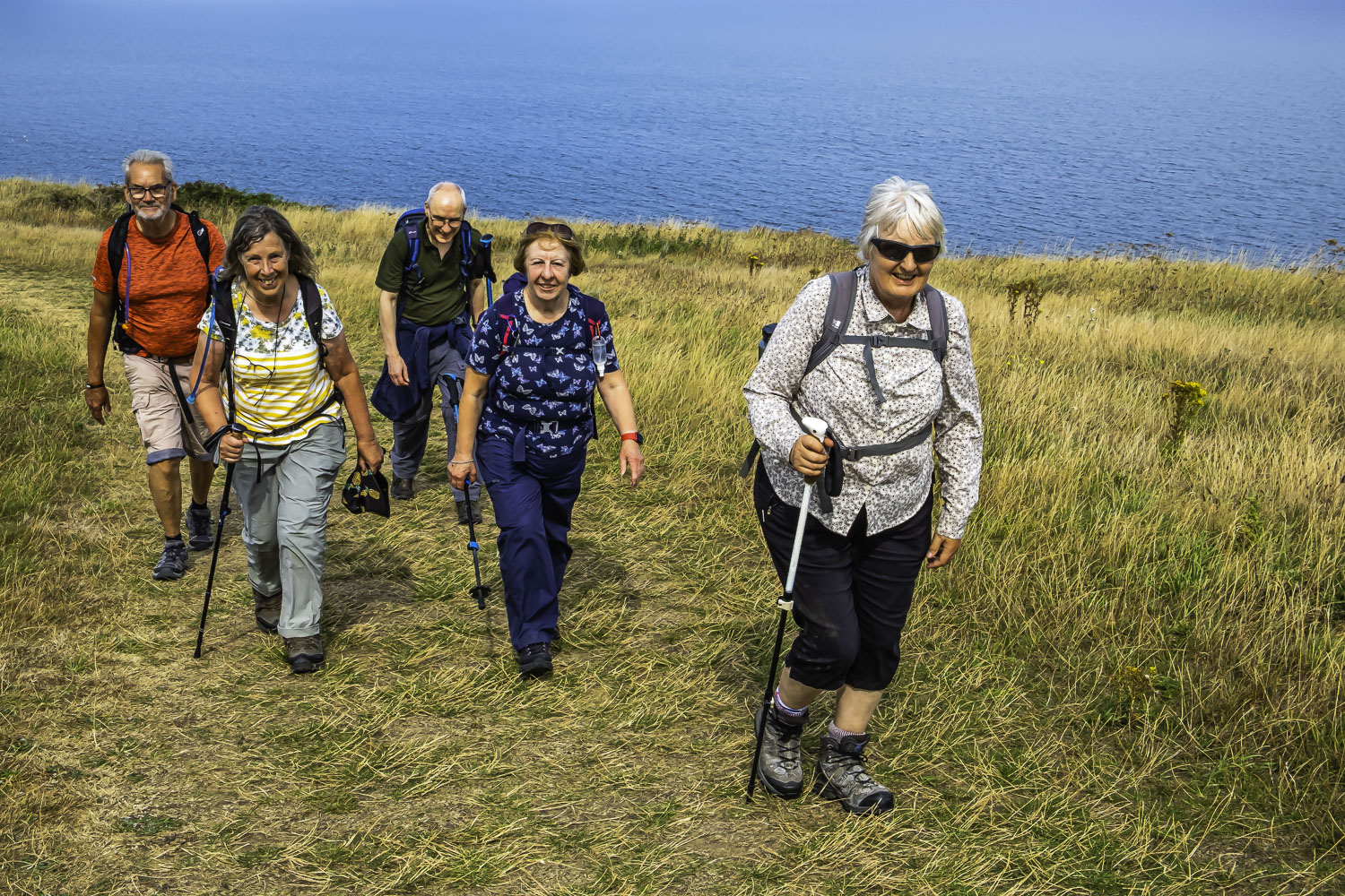
Leaving the coaches on the A171 just after the roundabout with the B1416, 6 of us headed through the housing estate to join the B1416. After a short walk north, we turned right onto a path leading us E along the north bank of a stream. After passing under a bridge carrying the disused railway we continued ENE on pavements to the railway station. We then made our way along the quayside to cross the swing bridge over the R Esk. After a short distance we turned N along a street and then turned E to climb the 199 steps to Whitby Abbey. At the top of the steps we took a deserved coffee stop.
After coffee, we continued along the Cleveland Way with the temperature increasing and plenty of blue sky with hazy clouds. Passing above Saltwick Bay we had a view of one of the few sandy beaches on our route while the nearby fields were covered in a lavender coloured flower. A little further on, above Whitestone Point, we arrived at the fog horn station and then the lighthouse on the cliff edge. As the cliff path headed south, just past Widdy Field, we had the first of our descents into a gully or more importantly the climb out of the gully. A little further S, we stopped for lunch next to the FP heading to High Hawsker. During lunch, we were approached by a couple with a young child asking for the way to the nearest road with buses so I directed them to High Hawsker which sits on the A171. Hopefully there are buses stopping there. If nothing else, there is a pub, if it was open.
After lunch, our route took us to Oakham Beck which involved a steep descent and ascent although if my memory serves me well, which it normally doesn’t, there were steps to make it a bit easier. As we continued, the coastline became less inviting as there were no sandy bays, only gray uninteresting slabs of rock. However, the cliffs were fairly sheer and interesting from that perspective. The path is generally very good, in some places there is the option of the cliff top path or a short cut grassy track slightly inland. After one or two other stepped descents and ascents, the path turned SW and eventually we had our first view of Robin Hood’s Bay although most of the village was hidden.
As we approached the destination Victoria pub and the nearby buses in the old railway station, because of the heat or injury problems, three of the group decided to stay at the pub/coaches with perhaps a walk to the bottom of the village and the sea. I had already suggested to Florence that she should lead around the loop for some more experience. So Florence headed WSW along a good path, crossed a minor road and continued on the permissive path which was the course of the old railway line now called the Cinder Track. As this swung S past Middlehope Farm, on reaching a minor road we turned left down Mark Lane. As Florence found her way around Farsyde House, I warned her that the previous time I had walked this way, the shrubs and trees at the side of the path had spread across the path making passage very difficult. However on this occasion, they had been cut back to provide a clear wide path. As we turned N onto the Cleveland Way we were met with an excellent view of a sunlit Robin Hood’s Bay – my main reason for including this loop. Florence took us along the cliff top path and then down what seemed to my arthritic knee like another 199 steps. With the tide a fair way out, we had a great view of the rocks and we dropped down to the sands, walked a short distance north and then ascended the ramp into the village. Before climbing the steep ascent back to the buses, we sat, had a rest and enjoyed an ice cream.
An enjoyable walk in excellent weather although it was too hot for some.
Click on any photo to view full screen. Move through the gallery using the < > arrows.


")

To view the route, click on the adjacent file name 250812