06 – 08 – 2025 STANHOPE
Distance 15.6 Km (9.7 miles) Ascent 162 m (531 ft) Average moving speed 4.18 Km/hr (2.60 mph) Start 9.50 am Finish 15.49 pm
Ann & Florence’s groups left the coaches just past the road junction of the B6278 and a minor road, just south of Edmonbyers Cross. While Ann’s group headed along the minor road, 6 of us in Florence’s group walked a couple of dozen metres further south and then turned WSW along a gravel track with Waskerley Reservoir in front of us. After about 0.5 Km the track turned slightly to ENE and we continued along this for almost 1 Km before a right bend in the track. It then appeared as though we were heading for the reservoir. However, after a short distance we reached the Waskerley Way and we turned ENE again to follow the Way. With the sun shining and significant amounts of heather in bloom either side of the track, it made for very pleasant walking. This was especially so as we passed through Frosterley Cut. A short time after, we reached the car park at which point we turned through almost 180 deg and followed a tarmac track down to the reservoir which provided more scenic views with the heather, the glistening water in the reservoir and the distant moors. On reaching the reservoir we entered a wooded area although there are few trees still standing. This was to be our coffee stop and we found a wooden table which was ideal. Unfortunately there was no table for Ann’s group who arrived a little bit later.
After coffee, we rejoined the track and started climbing NW, past the buildings at Heather Lea to then rejoin the Waskerley Way. This time, we turned left and made our way WSW on a very good track with good views of Waskerley Reservoir. The track slowly bent left after a short distance and we headed SSW to Fell Haven. I had suggested to Florence at the beginning of the walk that this might be a good lunch stop, however the café was closed and as it was just on 12.00 pm, it was far too soon for lunch. We were making very good time due to the good conditions underfoot and any climbing being gradual. So we continued along the Way until just after Whitely Head where we took a left turn onto a reasonable gravelly track. This involved a slight climb as we proceeded SE towards Millstone Quarries. Having reached the quarry, Florence looked for a lunch spot and just off the track there was a bank which gave some shelter from the wind and provided a comfortable spot for lunch. With plenty of time on our side we had a lengthy stop before Florence ushered us to get moving again.
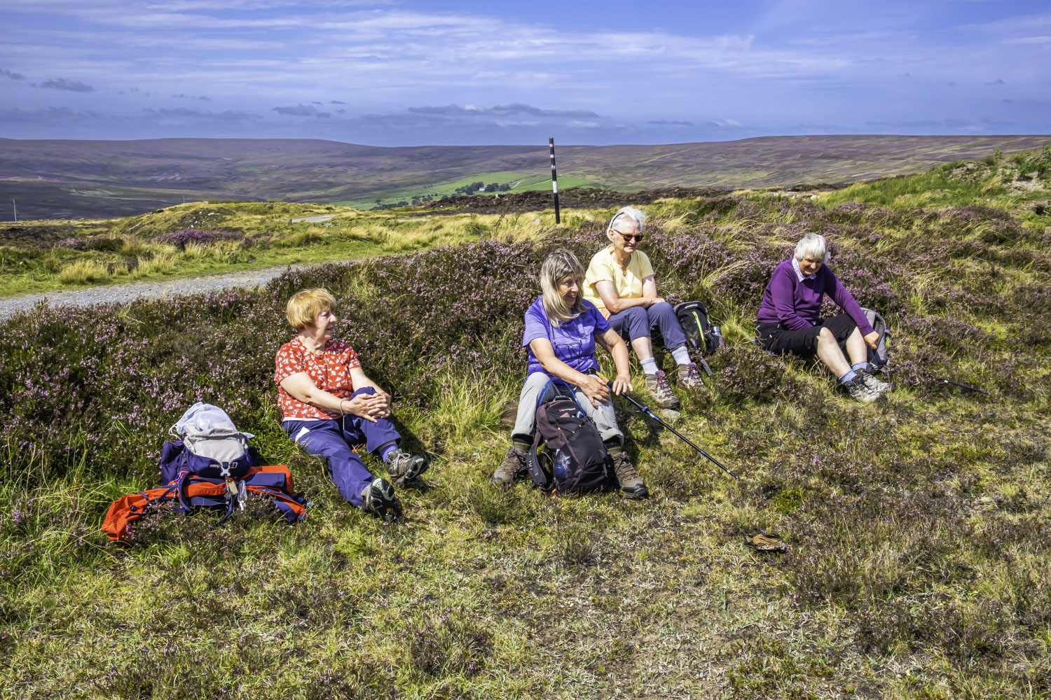
Our route initially continued SE and after initially missing a turning, we had to back-track about 100 m and then take the correct track/path heading SSW to Bashaw Rigg. A RoW path which was on Florence’s original route was non-existent on the ground so we continued heading downhill on the track. This track became quite steep as it descended around Bashaw Rigg to then head west towards the Waskerley Way. We then turned SSW onto the Way and continued our descent to Crawley Engine. This was formerly the home of a fixed engine which would lower the mineral trucks down the very steep Crawley Bank while hauling up the empty trucks to the top of the bank. Florence led the way around the buildings and then at the end of the buildings we looked for a RoW shown on the map on the east side of the path, but once again there was no evidence of it on the ground, so we remained on the path we were on, in the knowledge that the two paths joined further on. Sure enough, while our original path started descending off Crawley Edge, we were able to continue on a path which kept us heading SE along Crawley Edge, in effect a continuation of the RoW on Florence’s original route. Walking along the edge there were excellent views across the Wear valley and of the town of Stanhope below us. Towards the SE end of the Edge, Florence announced an afternoon stop, a suitable grassy area, warm sunshine and great views.
After the stop we continued along Crawley Edge until we reached a minor road. Heading SSW a short distance, we arrived at Jollybody Farm where we turned left (W) immediately after the farm. Reaching a gate we passed through and turned S looking for the caves marked on the map. We did not find them and I learned afterwards from Ann Brown that the caves were down beside the Shittlehope Burn and were very difficult to reach. So we turned WNW through the fields via stiles and gates, arriving at the Jollybody Farm road, where after turning SW we quickly joined a track heading WNW past the south of a quarry. Much of the quarry and the spoil heaps were grass covered so Florence decided to take another refreshment stop after which we headed down into the town of Stanhope passing the Bonny Moorhen on our way to the car park arriving 1hr 50 min before leaving time.
An excellent and enjoyable walk for Florence’s first time at leading – thanks very much.
Click on any photo to view full screen. Move through the gallery using the < > arrows.


To view the route, click on the adjacent file name 250806 Stanhope
Thanks Peter for your description of our lovely walk