20 – 06 – 25 PATELEY BRIDGE

Distance 18.0 Km (11.2 miles) Ascent 295 m (968 ft) Average moving speed 3.5 Km/hr (2.17 mph) Start 10.29 am Finish 17.19 pm
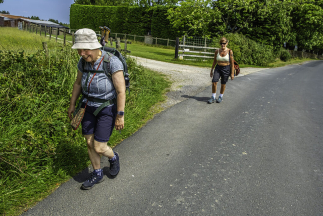
Leaving the coaches on the B6265 near Gowbusk, we headed NW on the Ripon Rowell Walk to Gowbusk on what was forecast to be a very hot day with temperatures reaching 30 deg. After Florence found the way through the buildings, we continued NW to Hollin Hill Farm where we turned SW, easily found the entrance to Fishpond Wood and after descending thro the wood, decided to have our coffee stop next to Eavestone Lake with an excellent view of the lake.
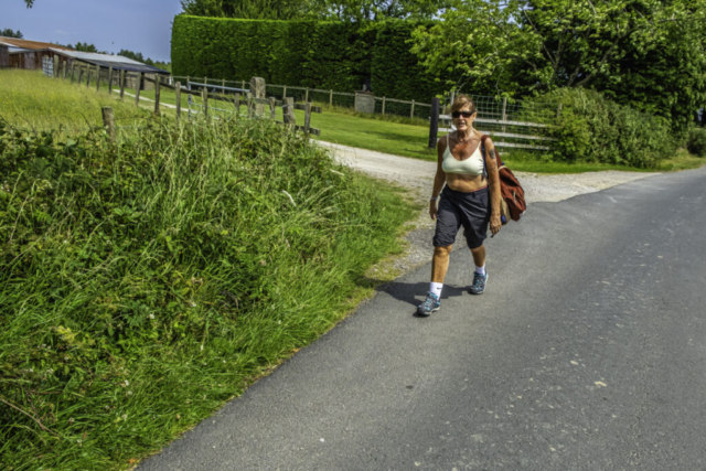
After coffee, we made our way around the north bank of the lake. We then joined a minor road heading SW uphill. While I knew that there was a left turn I was obviously talking and completely missed it, resulting in a back-track having added an extra 400 m. After heading down the left turn, we arrived at B6265 again and after crossing this road, we continued SSE along a good track thro a wood (High Moor). The wood was just what we wanted as it provided some decent shade from the midday sun. We took the advantage of the shade to have a 5 min drinks stop as dehydration was a concern in the heat. However, even in the shade it must have been around the forecasted 30 deg. We then continued SSE down through the wood. I had decided to take a shortcut by turning right along a track where the SSE track bent slightly to the left. However when we reached said track there was a rather large private sign near the entrance so we continued on our original route and headed to Warsill Hall Farm. As we passed the farm something in my head based on a previous visit said, “be careful of the correct route here” but there only seemed one track, the nice wide gravel track we were on. But then another group were spotted to our right and I realised we should be heading for the same bit of wood so we turned SW and reached the gate next to the wood. Walking across the next field we saw a herd of cows near the gate so, with a couple of the ladies worried, we headed across the field away from the cows, thinking we could get out of the field and onto the road. However, it wasn’t to be, so we headed back to the gate and when the cows saw us coming they fled – who can blame them. Heading W along the minor road we came to the south edge of the wood we had walked thro and we took the opportunity to take another drinks stop in the shade of the trees. We continued along this quiet road past High North Farm after which we turned left down another road which brought us to the northern edge of Brimham Moor with some of the rock formations visible on the horizon. Here we turned W on a track and soon after we looked for the footpath taking us up to the rocks. After a narrow start the path did widen as we climbed and soon we were on the moor heading SW to the main rock formations and, more importantly, our lunch-stop near the ice cream shop.
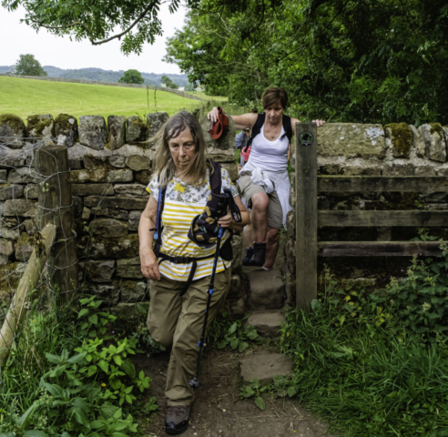
After our lunch which included a visit to the ice cream shop, I had planned a meander around the rocks for a few minutes. However this was a mistake as the paths are not marked and several resulted in dead ends. We eventually found the way to our exit in the SW corner of the rocks and made our way down to high Wood Farm albeit via what turned out to be a private road. After being advised we could not pass through the farm on the RoW we detoured to the W which brought us out on the wrong side of the fence before eventually making our way to Low Wood House and then heading W to Smelthouses. At Smelthouses we turned down the track signposted Low Laithe which took us past Little Mill and Knox Hall and brought us to the B6165. After crossing this road, a path brought us down to a footbridge crossing the Fell Beck and then to the R Nidd. By this time it had clouded over slightly but it was still very hot and muggy. We turned NW alongside the R Nidd on the rough path (uneven, with roots and stones) that I remembered from previous visits. Near the footbridge crossing the Nidd, we stopped for another drinks stop. After passing the disused, and partly dismantled, railway bridge there was a slight improvement in the path as we proceeded towards Glasshouses. Just after the road bridge at Glasshouses those of us familiar with this track got a shock as the reservoir alongside the river was bone dry – not a drop of water, only the cracked mud was visible. We continued WNW on what was now the Six Dales Trail until we arrived in Pateley Bridge. Crossing the road and then the bridge over the R Nidd, we then crossed to the east side of the road and entered the area where our coaches were parked.
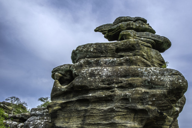
What should have been an enjoyable walk was not such a good experience for some of us including myself. The heat and subsequent humidity cause dehydration despite the amount of fluid we had drunk. Personally, partly due to the dehydration and issues with my knee, I failed to concentrate during several stretches of the walk resulting in small errors which nevertheless resulted in a slightly longer walk. Apologies to those who suffered. It also meant I lost interest in the photography, resulting in only one photo of the rocks and several other missed opportunities.
To view the route, click on the adjacent file name 250620 Pateley Bridge


