03 – 06 – 25 HOLY ISLAND

Distance 17.5 Km (10.9 miles) Ascent 79 m (260 ft) Average moving speed 4.35 Km/hr (2.7 mph) Start 10.07 am Finish 15.40 pm
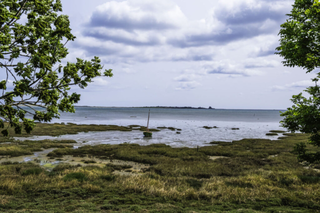
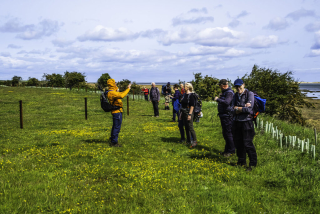
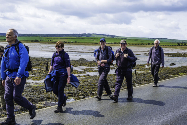
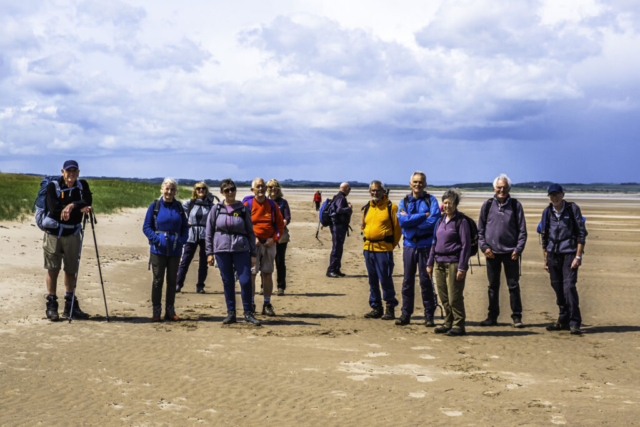
On a bright sunny morning, 16 of us left the coaches on the A1 beside South Buckton House. Walking back down the A1 for a short distance we then crossed the road and took a minor road heading NE to Lowmoor crossing. Unfortunately our timing was poor as the lights flashed and the barriers dropped just as we approached the crossing. Within a couple of minutes the express had passed and as the barriers lifted we proceeded past Fenham-le-Moor farm and on to Low Moor Point. We passed through the gate and onto the dunes where we decided to have our morning coffee stop looking across the bay to our final destination, Holy Island.
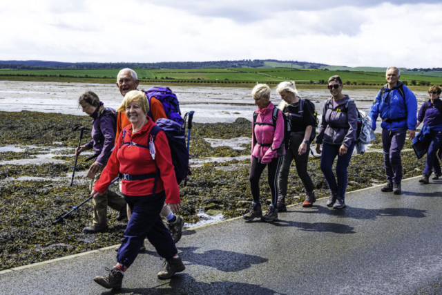
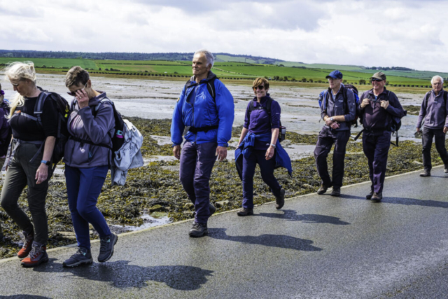
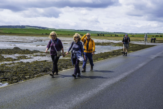
After coffee we back-tracked thro the gate and then took the recently introduced King Charles lll England Coast Path in a NW direction. This was the first time I had walked this path since its introduction. Previously it was very difficult to walk this part of the coast as farmer’s fields reached right up to the mainly marshy shoreline. It would seem that a narrow strip has been taken of the fields so that there is a narrow path running between two fences up past Fenham Mill. The path then widens and a short distance before the causeway it turns right along the edge of a field and then N, where again it is a narrow path between a fence and WW2 anti tank defences. We then started the walk across the causeway, keeping in single file due to the large number of cars crossing the narrow causeway that morning. Reaching the dunes at the eastern end of the sands, where the road bends right, we left the road and followed a distinct path around the Snook on the edge of the dunes and the sand. After Snook Point, our route gradually turned east as we walked on the sand near the dunes. At this point we lost a member of the group who was determined to see Vera’s House (Snook) and despite calling him back continued to cross the dunes, I will say no more!! Around this time we kept looking behind us, partly to see the vast extent of the sands stretching beyond Goswick Sands but also to monitor the course of a very black cloud which seemed to be coming our way. While I was concentrating on whether we would reach the sheltered Bay at Coves Haven in time for lunch, John B was doing the cloud monitoring and was certain that it was heading for us. Sure enough, he was correct and the heavens opened as we walked quickly towards the far rocks of Back Skerrs. There was nowhere to shelter in the dunes and the only good thing was that the wind was behind us so it was our backs getting soaked. As we headed towards Snipe Point, the cloud passed over us and by the time we reached Coves Haven, the rain had stopped and we were able to find spots in the dunes where we were sheltered from the west wind. It was generally agreed that this was as good a spot as any for lunch and as it was 1.40 pm, it was well past lunch time so lunch it was.
After lunch, we headed to the SE end of the bay where we had seen a couple of people leave the sands and we found a reasonable, if steep, sandy path (2 steps forward, 1 slide back) up onto the dunes. It was then a case of negotiating various paths to keep heading in a ESE direction to the sands at Sandham where we walked along the beach making for the white pyramid of Emmanuel Head. Rather than cross the rocks before the Head we climbed up onto the dunes again where there was a fairly obvious path taking us to the white concrete pyramid. After several photo ops at the Head, we turned S on a good path down the east coast of the island. The east coast of the island is totally different to the north coast, there being very little sand, most of the coastline consisting of rocks and seaweed. However there was a good view of Lindisfarne Castle about a mile away and Bamburgh Castle and the Farne Islands in the distance. After passing Castle Point and climbing up to the castle entrance, we were aware of another dark cloud approaching. A member of the group asked if he could stop at the castle as he had a National Trust card and had never been inside. Consequently, I brought the group to a halt and advised that if anyone wanted to make their own way back to the coaches they were free to do so. We then walked on around the bay (The Ouse) by which time the dark cloud was depositing very heavy rain. As some of the group were saying they were going straight to the coaches, I also decided to abandon the idea of a loop around to the mound overlooking the remains of the Priory and we all headed straight back to the coaches.
A very enjoyable walk except for the two downpours we experienced. Several of the group who had never been to the north coast of the island were impressed with the sands on that coast.
To view the route, click on the adjacent file name 250603 Holy Island
