22 – 05 – 25 GRASMERE

Distance 17.3 Km (10.7 miles) Ascent 480 m (1570 ft) Start 11.32 am Finish 17.25 pm
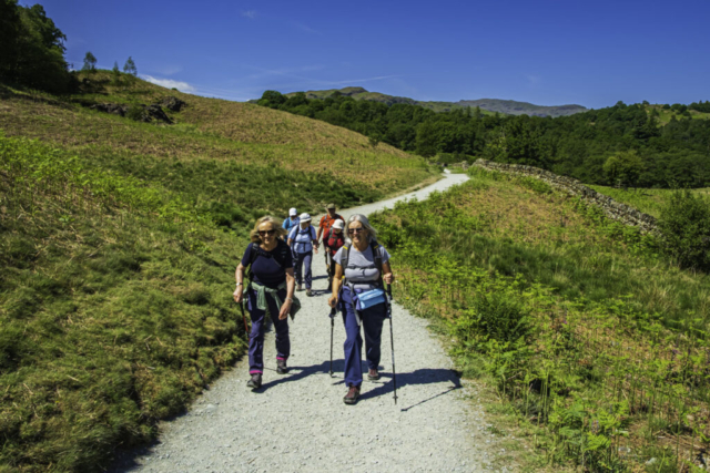
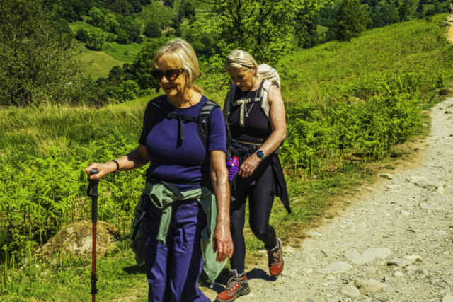
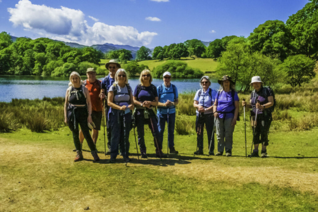
Leaving the coaches under a blue sky, warm and with only a slight wind, 10 of us looked forward to an excellent day. Crossing the B 5287, we entered Town End and passed the Wordsworth Museum and Dove Cottage. Continuing SE on the MR we arrived at How Top and then continued eastwards on a good track. Having crossed White Moss Common, at a fork, we took the right hand track which was heading downhill. Unfortunately, this track was very rough with loose stones on the surface. Anyhow, we all safely arrived at the car park adjacent to the B5287. With some difficulty because of the numerous paths, I managed to see the footbridge across the R Rothay up ahead but then decided to back-track a short distance to have a morning coffee stop (12.05!) at the nearby tables and forms.
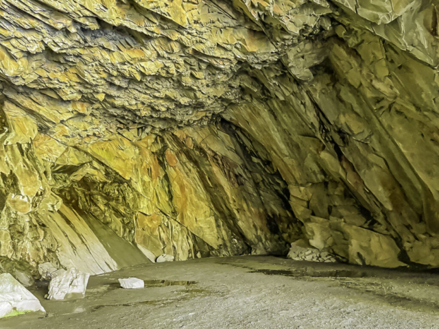
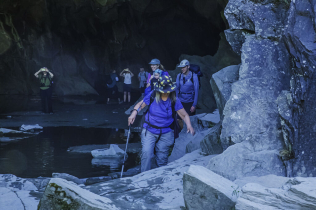
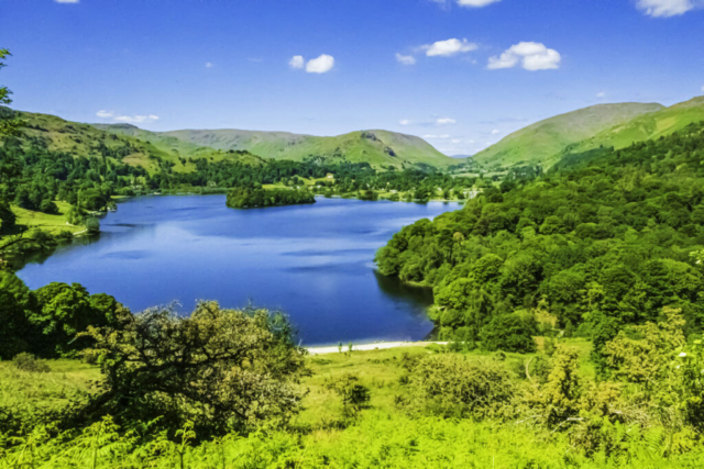
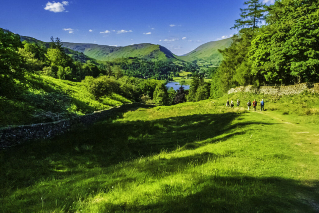
After our stop, we headed to the footbridge and began the climb up towards Loughrigg Terrace. At NY 349 060, where the paths forked, we took the left fork and headed towards Rydal Water. The view ahead was excellent with the blue water of the lake, the green hills stretching away in the distance and the blue sky above. The path headed down to Rydal Water and we walked E along the lakeside almost to the end and then a short climb at 90 deg to the right followed by another 90 deg turn meant we were walking WSW at a higher level with once again wonderful views of Rydal Water. As we approached the “quarries” we were faced with a climb on a rough surface with loose stones but the effort was worth it as this brought us to Rydal Cave. This cave was man-made and is the result of slate mining. Just inside the wide mouth of the cave is a lake with stepping stones. Several of the group headed into the cave but having been there several times before and not trusting my damaged knee on the stepping stones, I waited outside with a couple of the group. When everyone returned from the cave, we continued our walk W. Keeping to the higher path when the main path descended to the right, we soon arrived at Loughrigg Terrace. Unfortunately, at some point after Rydal Water, probably at the cave, I somehow contrived to switch my camera from auto focus to manual focus which I didn’t realise. Therefore, the shots of Grasmere and subsequent shots are not very sharp which is a great pity as the views of Grasmere were again excellent. Finding a seat and a grassy bank we had our lunch stop overlooking Grasmere. The view, the sunshine and our food, what more could we want.
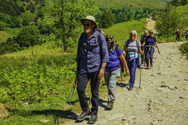
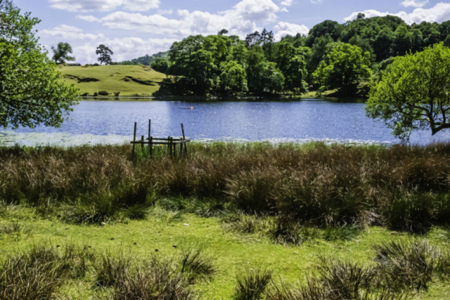
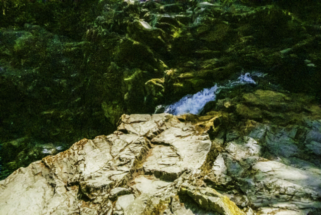
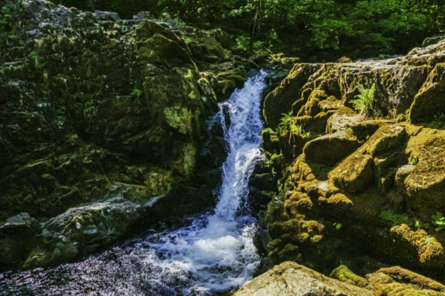
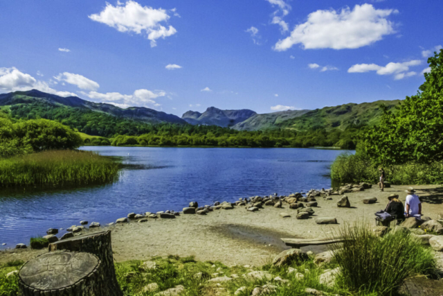
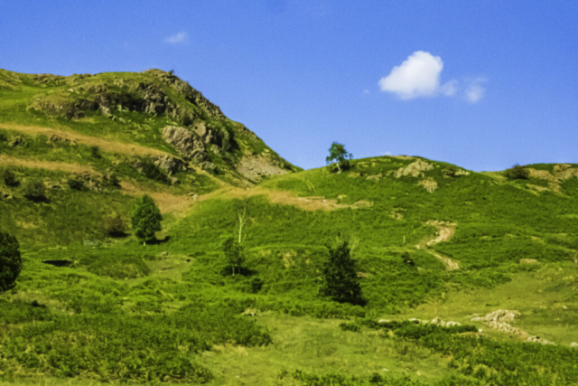
While it would have been nice to spend the afternoon here, we had to complete the walk, so carried on WSW along Loughrigg Terrace then climbed slightly to reach the MR running from Grasmere to Skelwith Bridge. Heading S on the road we passed the Oaks and soon after, climbed a stile on our left and, on a grassy surface, made our way around to the NE bank of Loughrigg Tarn. Leaving the tarn, we headed S to Tarn Foot and then S again on a MR down to Skelwith Bridge. It was on this MR that we observed the difference in drivers. While most car drivers slowed when they were aware of our presence, one van driver in particular seemed to accelerate around the bend as he approached us – maniac!! Anyhow, we reached the hotel at Skelwith Bridge in one piece. Continuing in a WNW direction alongside the R Brathay, we then took some steps down to view Skelwith Force, a narrow ravine with the R Brathay thundering through it. On our way again, we joined the Cumbria Way as it followed the river NW to Elter Water with views across the lake to the Langdales in the background. Continuing on, we arrived at the small village of Elterwater which I have to say was crowded. Making our way ENE out of Elterwater on a MR we arrived at the B5343 which we crossed and then took a FP heading N over Walthwaite Bottom. This was a bit of a climb but we knew we had more to come. The path swung E and then I missed another path climbing NE – perhaps I didn’t fancy more climbs. However, it meant heading a short way back slightly down a MR to then join a FP taking us N. Well, this path was a climb, more in keeping with Charles Bragg and his group. While some of the group kept a reasonable pace up towards Huntingstile Crag, together with a few of the group, I had a couple of stops to recover my breath. Near the top, the path levelled out somewhat and as there was a nice grassy area with some rocks and a view of the distant Elterwater we decided to have our afternoon stop.
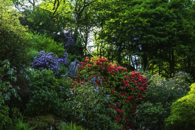
On our way again, there was only a slight incline before we were descending to Redbank Wood and beyond that Grasmere (lake). Heading down to The Lea, the path was quite stony and difficult, but we soon arrived at the MR to Grasmere. It was tempting to think we were almost there but in fact we were still 1.6 Km from our destination. However, easy walking on the road surface, the presence of a number of attractive buildings and rhododendron bushes meant we had a pleasant finale.
Stopping at the Reeves Pub garden, with a drink in our hand and with pleasant conversation ended an excellent day.
To view the route, click on the adjacent file name 250522 Grasmere











Wonderful walk wonderful photos leading to wonderful memories.
Thanks Perer