22 – 05 – 25 HELMSLEY
Distance 17.7 Km (11.0 miles) Ascent 260 m (854 ft) Average moving speed 4.14 Km/hr (2.57 mph) Start 10.21 am Finish 17.06 pm
On a slightly overcast but fairly warm day, five of us left the coaches at Hagg End on the B1257, crossed the road and made our way between two fences, our only guide being the presence of a RoW sign, there being no visible footpath. We made our way SW towards the River Seph keeping our eyes open and we saw the footbridge half hidden by trees. After crossing the bridge, we were faced with the dilema of whether to head straight up the bank or follow my route by turning left staying parallel with the river. The left turn showed no evidence of a footpath but was in the direction shown on the map. I decided we should take that route which turned out to be wrong as, after about 300 m, we were faced with a fairly recent fence. So we turned around and took the path up the bank and then turned left and headed for Lincoln Slack. This was along a reasonable path/track and after a while we arrived at a burn alongside which was a good display of bluebells. Continuing along what was now a definite track we then joined a minor road. Continuing SSW along this MR we passed Woolhouse Croft and then the MR headed towards Laskill Bridge. Just before the bridge we turned W into a wood where we then experienced great problems due to fallen trees. We tried climbing over them, crawling under them, but we were getting nowhere fast, so eventually we climbed up the side of the valley away from the worst of the trees and eventually found a stile that led to a minor road which we walked along in an SW direction for a short distance before we turned SE into the drive to a farm. Soon we arrived at the farm (Timber Holme) and back on my original route. However we must have lost at least 25 minutes in the wood – OH, I nearly forgot, we were so weary trying to find a way out, we stopped for a coffee in the wood – this is not included in the 25 min lost time.
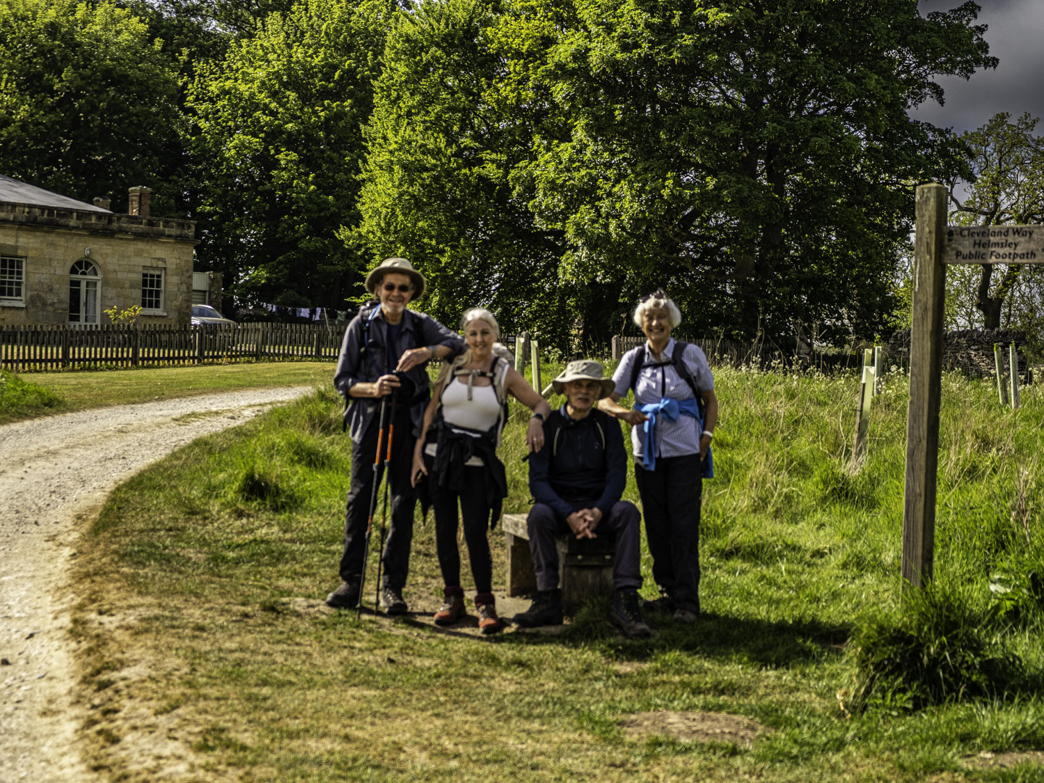
We then headed SSW on a decent track but as the track swung SSE and we approached some derelict buildings the track became non-existent and we accidently frightened some sheep in looking for our next destination, a footbridge over the R Seph. After a steep descent towards the river, we found the FB hidden amongst trees. After crossing the FB, we had an easy stroll across a grassy field to Fair Hill Farm. After the farm, we were on a decent track which took us past Broadway Foot and to the road which crosses Shaken Bridge. Just before the road we passed some excellent big rhododendron bushes. After crossing Shaken Bridge, we turned left past the farm and climbed the slight slope until we reached East Ley Wood. It had been my intention to take the lower track but in looking for a lunch spot I totally missed the lower path so at the top of the hill we found a couple of logs on the ground so stopped for lunch with a good view up the valleys, the Rye and the Seph having joined as the R Rye just before Shaken bridge. After lunch, we headed down the hill to join my original route and we continued SE to Barnclose Farm. With a dog in the farmyard, I looked for an alternative way past the farm, but there was nothing, so with some trepidation I opened the gate to the farmyard and entered, fortunately there was now no dog to be seen. We then headed S past Tylas Farm and after some easy walking near the R Rye we arrived at Bow Bridge. After crossing the river and starting to climb up the bank it was suggested that we might walk along the lower level but I decided we should walk up the bank which would enable us to pass through the whole of the Rievaulx hamlet and Abbey. It is quite an attractive place, not just the abbey. Unfortunately, without paying, you can’t get near the buildings so our photos were all distance shots. I had hoped to have our afternoon stop near the abbey but as we walked along, we failed to find anywhere suitable. Reaching Rievaulx Bridge we found a suitable spot beside the river so we had an afternoon stop followed by a group photo beside the bridge. We followed the road around to Abbot Hag Wood and where the road turned NNE up Ingdale Howl, we turned onto a wide footpath (Cleveland Way) heading SE. Initially it is a long slow climb up to Whinny Bank wood but then becomes reasonably level with the exception of one gully which is stepped on both sides. That did nothing for my arthritic knee. After passing Blackdale Howl Wood we were in the open and soon good views of Helmsley Castle came into view. It was only a short walk before we reached the coaches at the end of an interesting walk.
In some respects it was an enjoyable walk but our adventures around the fallen trees were not enjoyable. Fortunately, more by luck than good judgement, we only lost 25 min.
Click on any photo to view full screen. Move through the gallery using the < > arrows.


")


To view the route, click on the adjacent file name 250516 Helmsley