6 – 5 – 25 KIRKBY STEPHEN

Distance 17.8 Km (11.1 miles) Ascent 294 m (964 ft) Average moving speed 3.88 Km/hr (2.41 mph) Start 11.03 am Finish 17.10 pm
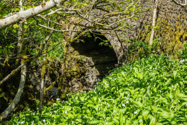
After a slow drive down the Mallerstang Valley, 10 of us left the coaches nearly 20 min later than expected at Aisgill Farm on a warm sunny day. After passing thro the farm yard, we headed for the footbridge over the R Eden. After crossing the bridge, the path became less distinct but we were able to follow it, initially alongside the river and then climbing SE towards a wall. After crossing a stone stile we continued climbing SE to another wall and stone stile and after crossing that we were at the farm of Intake. Passing to the east side of the farm we continued SE, up Pry Hill and then to the farm of Hellgill. Heading around the south side of the farm, we then climbed NE on a good track to Hell Gill Bridge. After about 450 ft of climb, this was a good time to have our morning stop.
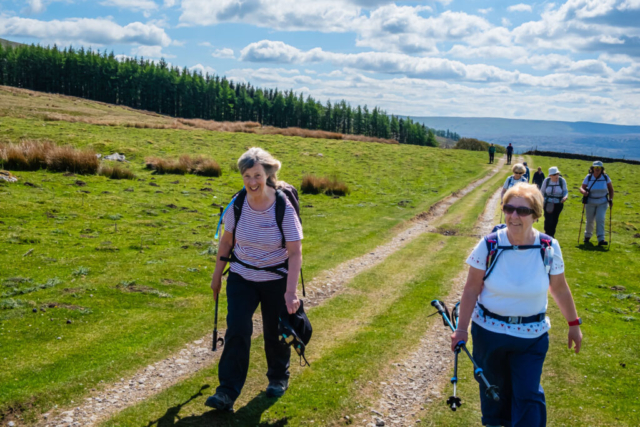
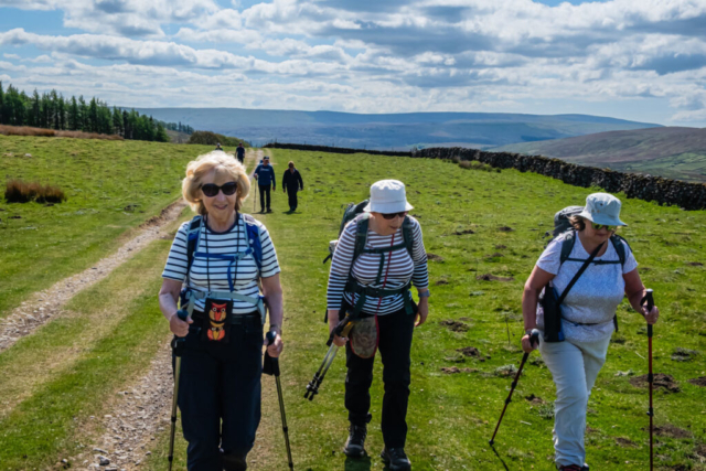
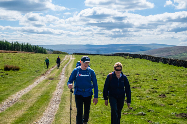
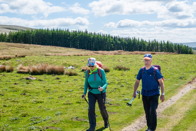
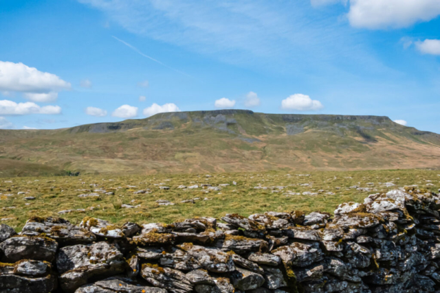
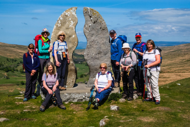
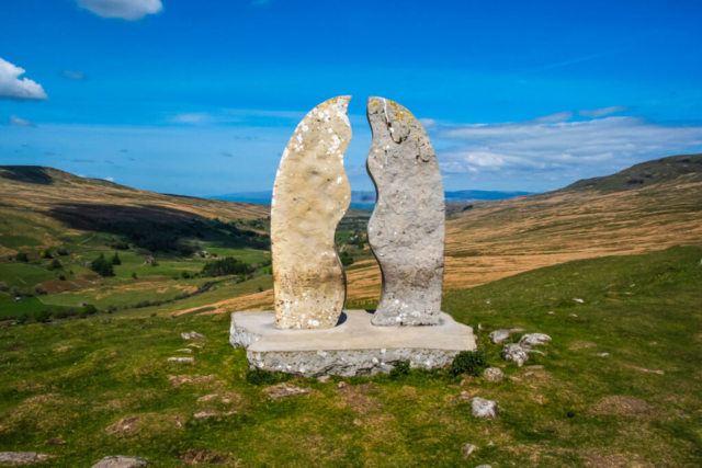
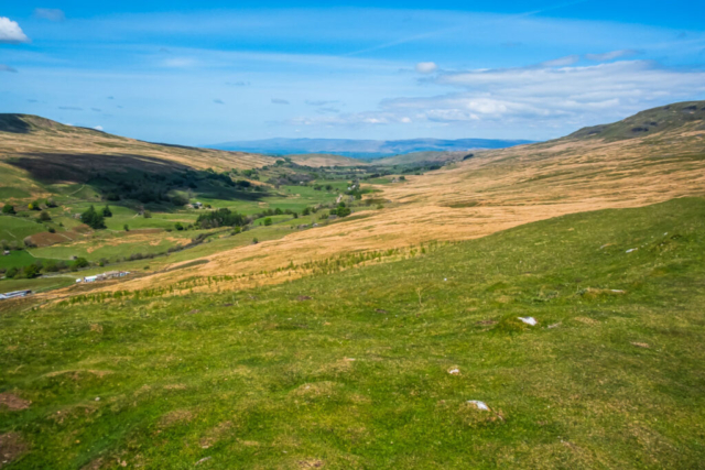
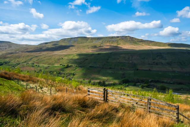
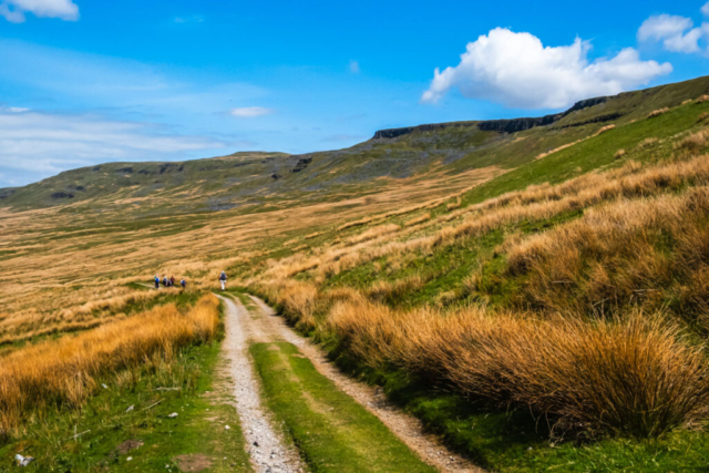
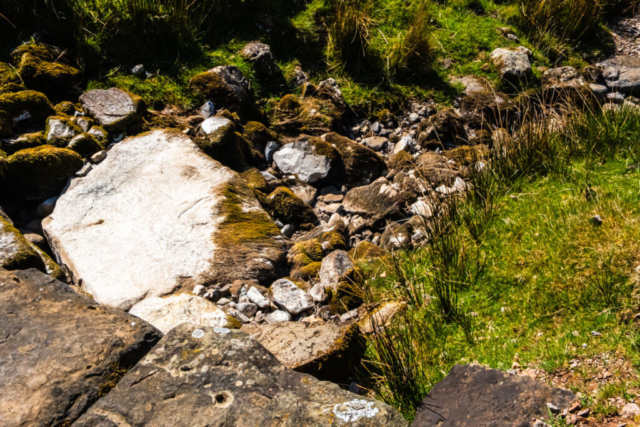
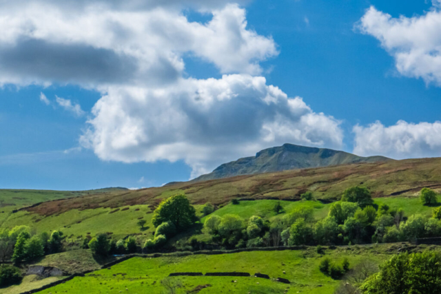
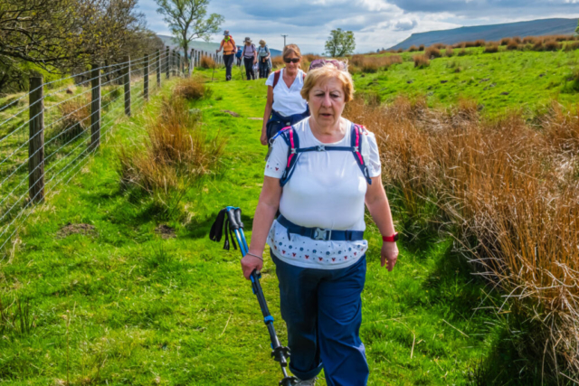
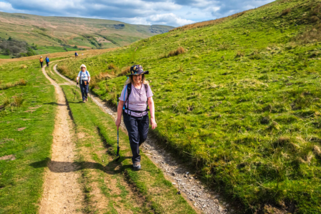
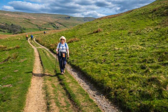
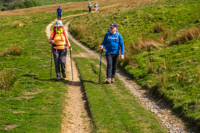
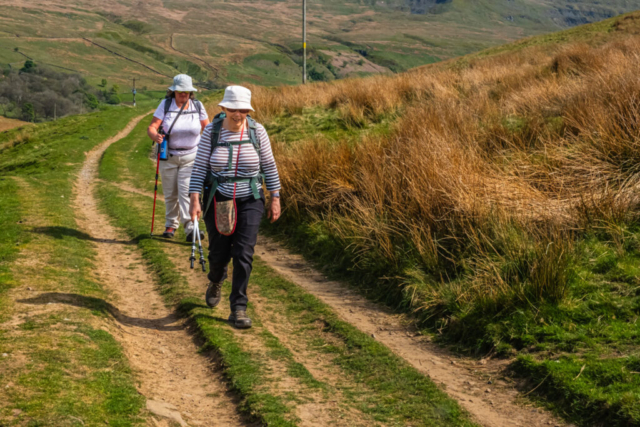
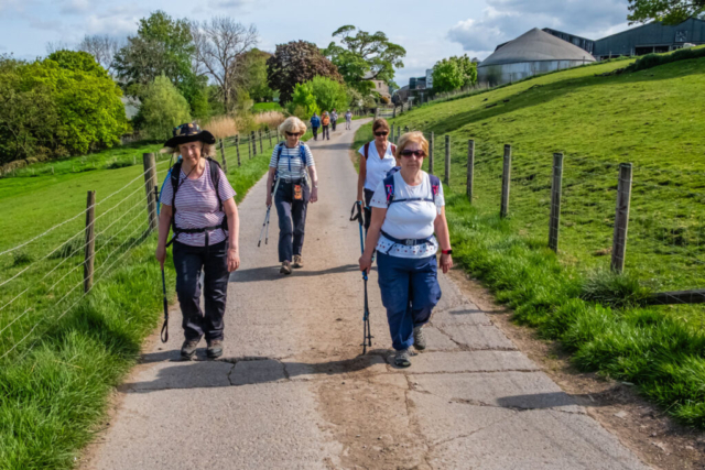
After our stop we had a look around from the bridge to try and see the water from Hell Gill but because of the recent dry weather and the depth of the gorge it was impossible to see any water. Giving up on that, we started walking NNW on the Old Road/Hellgill Wold Pennine Bridleway/The Highway – choose whichever name you wish, they are all used to describe this old drove road. As you will see from the photos, this track is ideal for walking having a good, fairly flat surface. With easy walking, there was plenty of time to view the surrounding hills and the valley below. The bright weather made these views excellent. Eventually, the wall on our left curved away from the track and at this point we had Mary Bourne’s excellent stone sculpture “The Water Cut” in front of us. On our left, across the valley, was the impressive Wild Boar Fell. This was the highest point in our walk and after a group photo we started descending, crossing several streams on the way although most were bone dry, not a drop of water to be seen. Eventually we arrived at The Thrang and we crossed the B6259 and just before the River Eden, we sat down on a grassy bank to eat our lunch.
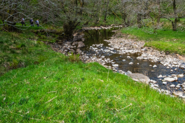
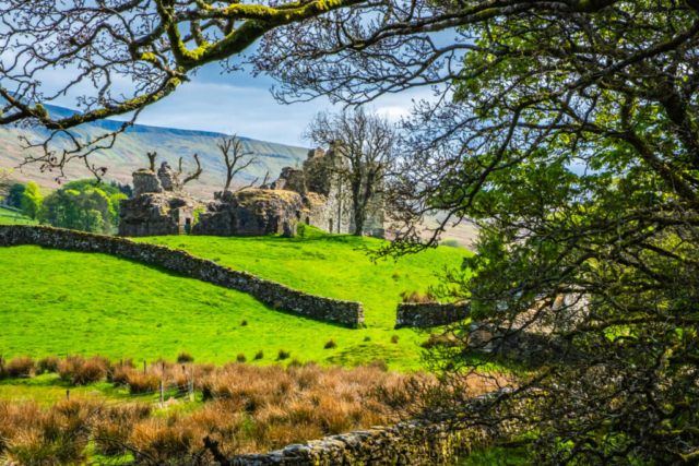
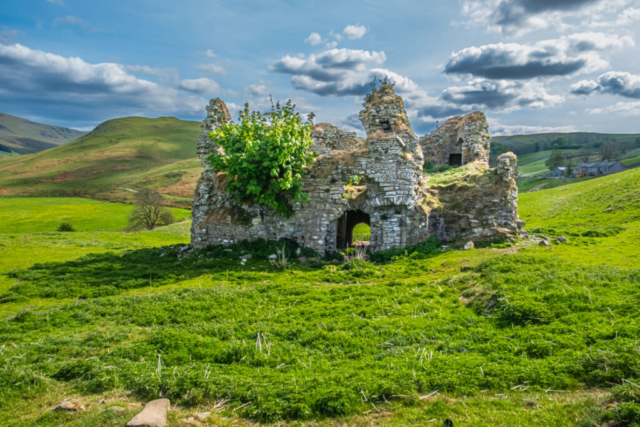
After lunch we headed north following the line of the River Eden which, similar to the Gills we had passed, contained a lot less water than usual. In general, the path was reasonable and well defined. After the farm of Shoregill, the river was further away from the path (Named A Pennine Journey) which essentially was a walk across short grassy fields. After passing Pendragon Castle on the other side of the river, we came to a road. At this point we were 42 min later than expected and I advised the group that we needed to maintain a decent pace despite the warm weather. The group agreed to head down the road and cross the bridge to get a better view of the ruin and then we turned back, headed NNW on the road for a short distance and at the bend we left the road and headed N on a track which while well defined was obviously prone to some flooding because even in this weather, when most places were parched, there were still some pools of water. At Birkett Bottom the track turned W then NW and then in sight of Lammerside Castle a footpath on the right took us straight N to the castle. Here we found Steve’s group who were just about to leave after a refreshment stop. It seemed a good place for us to stop, sitting on an embankment looking at the ruined castle just a few yards away.
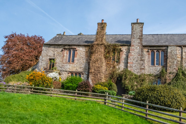
On the move again, we continued N over grassed fields and after passing Mire Close Bridge we came to Wharton Hall after less than 0.5 Km. On the left of our route was an extensive farming equipment area while on the right was the old stone hall buildings which were quite attractive. From the north side of the hall I had intended to leave the metalled Drive and take a FP NNE to Nateby. However I was unable to see the FP and as we were running short of time I decided to stay on the drive as it was easy walking and we headed to Halfpenny House and then a bit later we joined the A685 as it crossed the disused railway line. At this point I decided to head E through a housing area and follow the R Eden again. Leaving the river, the path brought us to the B6259 and just a bit further on we rejoined the A685 which soon brought us to the pub.
A very good walk, once again in great warm sunny weather and with some excellent scenery.
To view the route, click on the adjacent file name 250506 Kirkby Stephen
