29 – 04 – 25 WHITBY
Distance 17.4 Km (10.8 miles) Ascent 396 m (1299 ft) Average moving speed 4.33 Km/hr (2.69 mph) Start 10.37 am Finish 16.38 pm
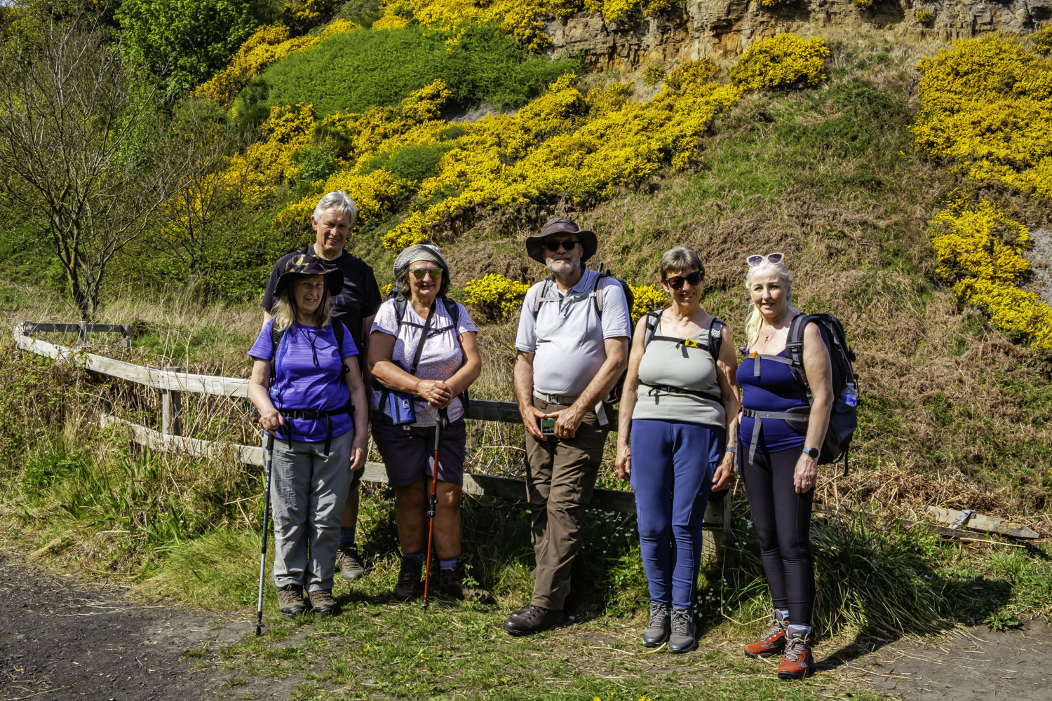
Leaving the coaches at Hinderwell on a warm sunny day, seven of us headed SE down Runswick Lane. Although we were essentially aiming for Runswick Bay, I had planned a double loop around the north headland of the bay, anticipating some good photos. It was not to be, as by the time we were in a position where I anticipated a view of the bay and the village, all we could see were tree tops and then roof tops. So we continued on without a photo until we reached the road just above the beach. Well at least this was a good spot for our morning break with several seats in the sunshine overlooking the bay although we could have walked straight down the road to this spot but that would have been of no use to those concerned with the number of steps they make in a day/week.
After our stop, we made our way SE along the sands towards a gap in the cliffs. This was to be our big climb of the day as we entered the gap at Hob Holes. This ascent is mainly by rock steps although the path is narrow and with a stream running down the side is not the easiest climb. However it is attractive, with the stream, the steep sided valley and the colourful gorse on the valley sides. Slowly, (certainly in my case) we reached the top at High Cliff and we continued E along the Cleveland Way. We passed the disused railway line (now a good footpath) but I had elected to stay on the cliff tops hoping for good views & photos of Runswick Bay and the village. Sure enough, with the blue sky and the blue sea complimented by the yellow gorse, even I couldn’t fail. Seeing Kettleness in the distance, I advised the group that we would be stopping for lunch at the far side of the hamlet as there were some seats. Unfortunately as soon as we arrived we were surrounded by flies, most of them large and black. So we decided to walk on and look for another spot. We subsequently tried a couple of other places without success but decided at the second that we would just have to put up with the flies or we wouldn’t have lunch.
After lunch, continuing on the Cleveland Way, we passed the Kettleness headland and the path turned SSE. At this point it was becoming even warmer and Dorothy suggested finding a shady spot for a rest. Even though we were walking, the flies were still a nuisance and Dorothy had one black trouser leg, ie. absolutely covered in flies, while the other was clear apart from a couple of flies. As the covered leg was on the seaward side of the cliff top path, we assumed they were coming from the sea. Anyhow, we carried on walking and we descended into Over Dale. This descent involves a steep set of steps zig zagging down into a gorge – not easy with an arthritic knee but it did give us some shade. Anyhow, we reached the bottom with me bringing up the rear and saw the entrance to the tunnel which had been somewhere underneath us almost since Kettleness. Looking back, there was an excellent display of gorse on the cliff we had descended. From here, the walk was at a lower level while still about 250 ft above sea level. On our right was a succession of disused quarries while below us on the left were the spoils of the quarries. After just over 1 Km we descended again but this time on a much better set of steps and slope leading us into Sandsend. I had promised an afternoon stop in Sandsend with the possibility of an ice-cream but unfortunately the cafe was closed so people just had to make best use of any food and drink they had left.
After following the road around to cross the Sandsend Beck, we descended onto the beach. This provided easier walking than I remember from my last visit several years ago. Anyhow, we continued on the beach which was fairly quiet despite the excellent weather and then after about 1.5 Km we climbed up onto the promenade as the tide was coming in and I doubted we would get much further on the beach. A short distance before the West Pier, we made our way up the slope to arrive at the whalebone structure. We then made our way south above the River Esk before descending to the riverside where the group broke up, some going to a cafe, some to the coaches and me (the non-drinker) to the pub.
A good walk in excellent weather and with excellent scenery.
Click on any photo to view full screen. Move through the gallery using the < > arrows.


 are flies")


")

")


")
To view the route, click on the adjacent file name 250429 Whitby