23-04-25 LANGHOLM
Distance 17.5 Km (10.9 miles) Ascent 427 m (1400 ft) Average moving speed 4.35 Km/hr (2.70 mph) Start 10.39 am Finish 16.49 pm
When planning this walk, I struggled. The Scottish idea of “right to roam” but very few marked paths makes life difficult planning Scottish routes. Combined with an area I don’t know and hills everywhere, I was tempted to give this one a miss but Steve persuaded me to have another look as there was a shortage of mid-distance leaders. So I did and this is what I came up with.
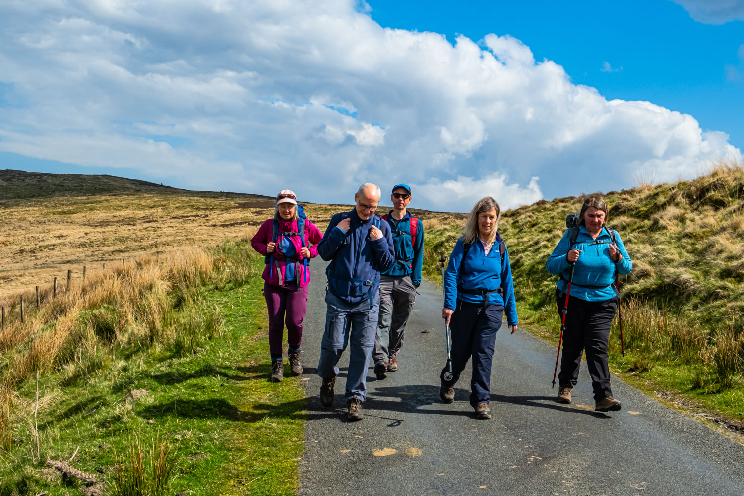
Together with all the other leaders, I left the coach in Langholm coach park on a sunny and warm day. While the groups then separated, we headed SSE along the main street into the town and then turned NE up Whita Rd. To say this was a steep climb is an understatement. Anyhow we made it to the outskirts of the town and by the time we reached the golf club, the road was leveling out slightly. At the end of Whita Rd, which by this time was a narrow track, we stopped for a rest and our morning coffee.
When we had recovered, we took the leftmost of the three paths in front of us. According to the map this was the easiest route although it meant missing the 100 ft high monument on Whita Hill built to commemorate Sir John Malcolm, one of Britains most accomplished naval officers during the late 18th and early 19th centuries. After about 0.5 Km along a reasonable path, we came to a minor road onto which we turned and continued to walk NE uphill. We passed a stile on our left which was our route, but we carried on up the road wanting to visit the Hugh MacDiarmid Memorial just a little further on. This memorial is in the form of a metal open book dedicated to one of Scotland’s greatest poets, born in Langholm, although he lived most of his life elsewhere. Anyhow, after a good look at the memorial and a further look up Whita Hill to the Malcolm Memorial, we returned to the stile we had previously passed and, after crossing it, followed by an awkward descent, we headed NW alongside the fence using a very rough footpath. At the wood surrounding Far Whitshiels Cleugh we eventually found the path crossing the stream and heading down to Ewes Water. Following Ewes Water SSW, we came to Highmill Bridge on the A7 . After crossing the bridge, we headed N up the road for a short distance before climbing up a grassy bank to a track – it has to be said that the track was not obvious until we reached it. However, it did provide good walking as we headed SSW, eventually reaching Ewes Bridge then heading across the racecourse to the cricket ground where we stopped for lunch at the pavillion after asking permission.
After lunch, we headed to the river and turneds NW along a good path alongside the river. After passing some low wooden construction which apparently are for housing game birds, the path turned right and we headed up to the farm of Holmhead. From here we headed NNW thro Langfauld wood although significant parts of the wood have been felled. Because of the felling we had frequent good views across the valley. After a long gradual climb we arrived at the hamlet of Potholm where we effectively made a 180 deg turn which brought us to the bridge over the river Esk. Once over the bridge we initially headed SW on a minor road which passed Milnholm and then Milnholm Cottage and then after about 2 Km having seen some good views of the river, we arrived at the B709 road leading into Langholm. When planning the walk, I had hoped to omit the road but the only alternative footpaths involved climbing, which would have taken the total ascent above 1500 ft, more than the group is used to. So the road it was, and while the minor road had been devoid of traffic, unfortunately, every minute or so a vehicle passed us on the B road. Walking single file we proceeded down the road until we reached New Langholm where we left the B road to enter a relatively recent housing estate. Just into the estate, there was a nice grassy slope next to the parking area for the houses so we sat enjoying the sun and anything that was left from our lunch refreshments. Time to move on, we headed S thro the estate and at the end of the buildings we descended into an older part of New Langholm and eventually joined the B7068 which, after a short distance and a chat to a local resident, brought us to the attractive building of Langholm Church of Scotland Parish Church. Crossing the nearby footbridge soon brought us to the pub.
While not a great walk, it was certainly better than I had anticipated when planning it.Church of Scotland
Click on any photo to view full screen. Move through the gallery using the < > arrows.


")


To view the route, click on the adjacent file name 250423 Langholm