19 – 03 – 25 WARKWORTH

Distance 19.3 Km (12.0 miles) Ascent 84 m (276 ft) Average moving speed 4.50 Km/hr (2.8 mph) Start 9.56 am Finish 15.31 pm
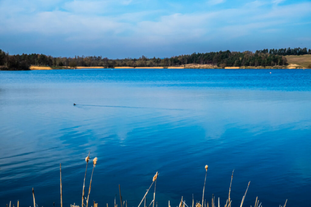
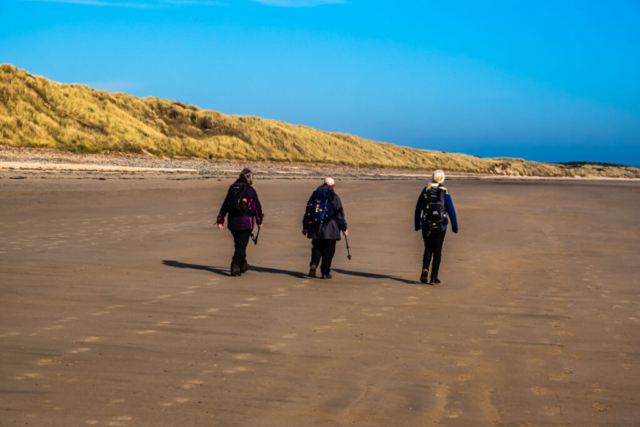
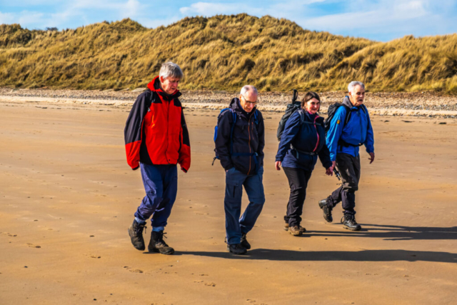
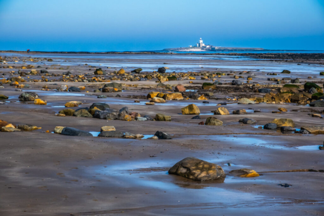
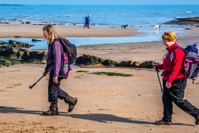
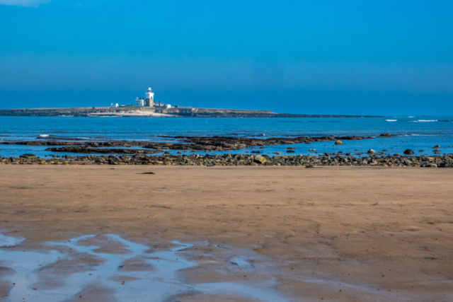
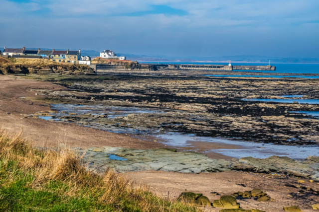
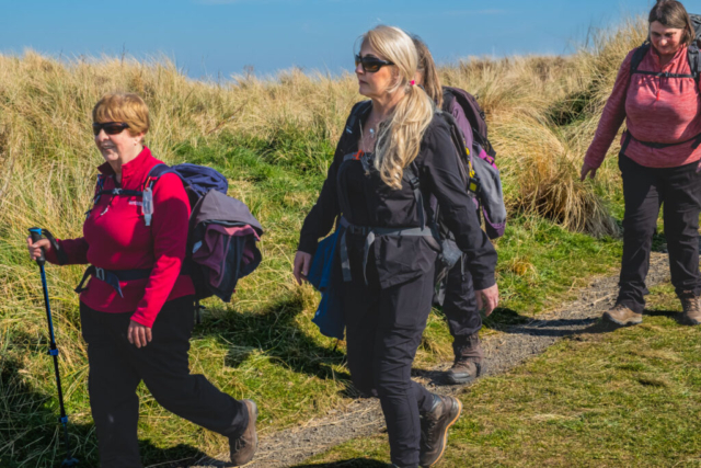
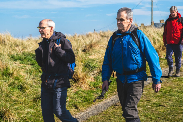
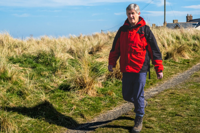
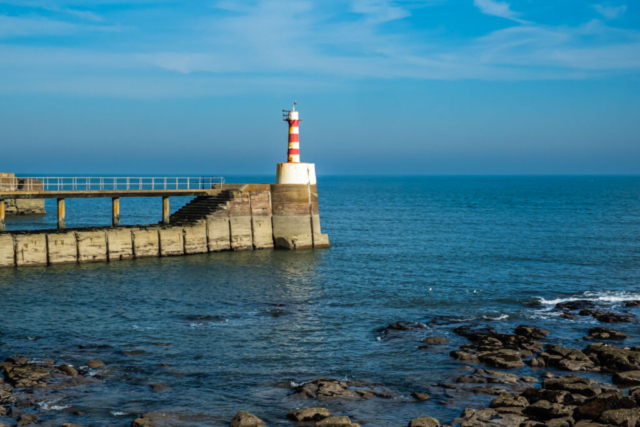
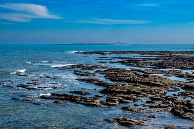
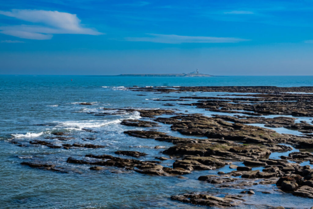
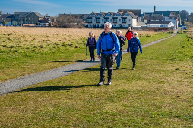
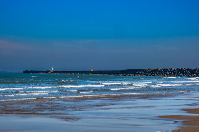
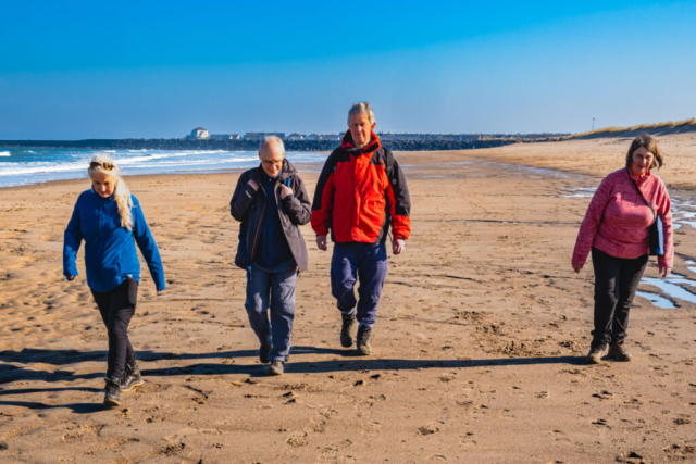
Leaving the coaches just inside the entrance to Druridge Bay Country Park on a bright sunny day, eight of us headed E to Ladyburn Lake. Walking around the south side of the lake brought us to the cafe and toilets. This was an ideal sunny spot for our morning coffee stop. After coffee and loos, we headed around the back of the cafe and across a footpath to the minor road and then through the dunes to the beach. With the tide well out, it was a good easy walk, NNE, on the firm sand past Hadston Carrs and up to Low Hauxley. As we approached Hauxley Haven, with excellent views of Coquet Island, I wondered whether we should leave the beach as I was aware there were rocks ahead, but I decided to carry on and in the event we were able to remain on the beach, circumventing the rocks. We stayed on the beach until well past the rocks but then as the beach became more stony and less easy to walk on, we cut up into the dunes and walked on a decent path thro the dunes until just past the cemetery when we dropped back down to the beach for a couple of hundred metres before heading back thro the dunes and making our way to the South Jetty. I always think that the views from the South Jetty are excellent, with Coquet Island out to sea, the occasional fishing boat or yacht sailing past and the river leading to the distant view of Warkworth Castle. Anyhow, we walked to where the pier joins the mainland, found a couple of long seats and had our lunch-stop in the sunshine.
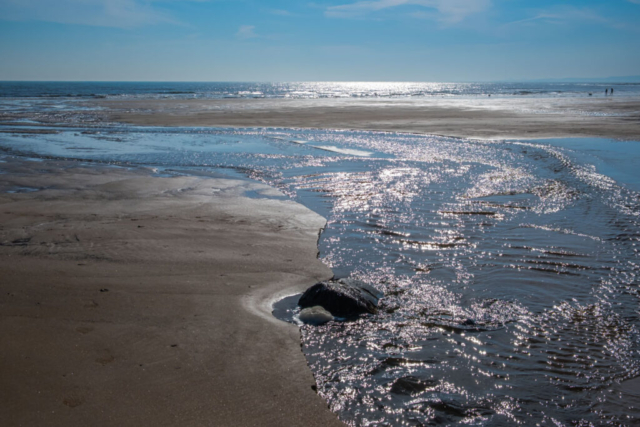
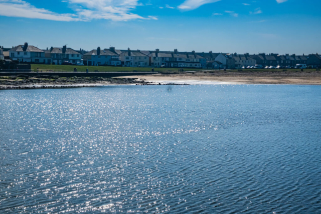
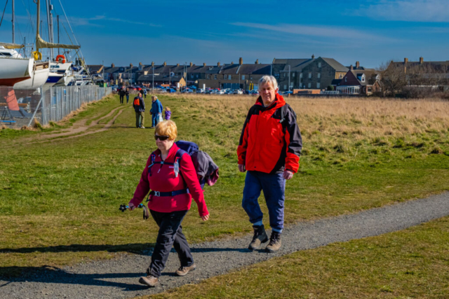
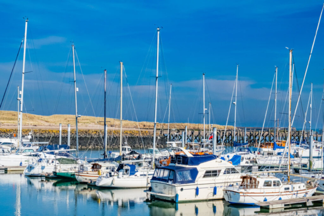
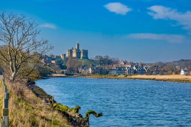
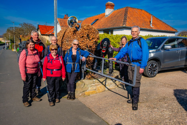
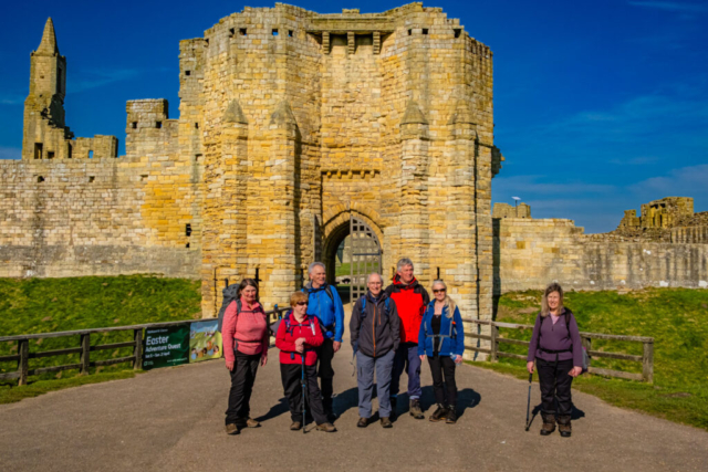
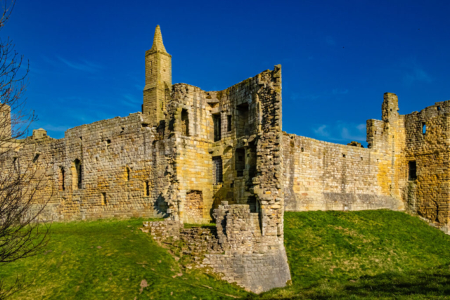
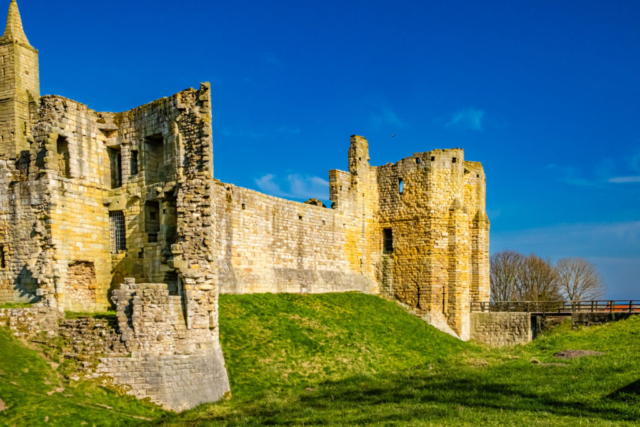
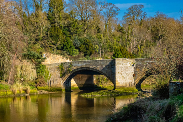
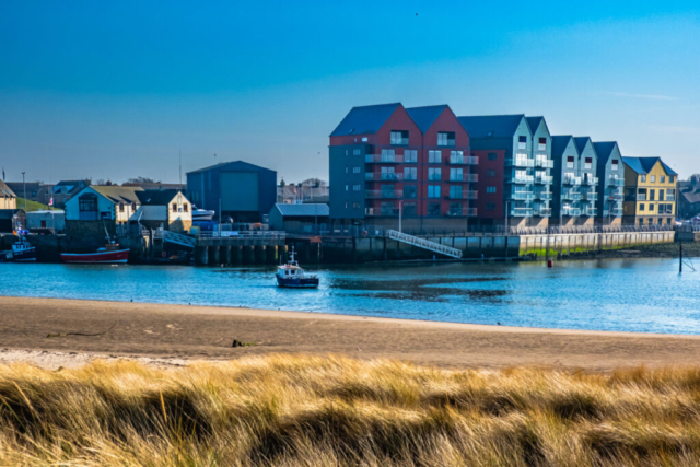
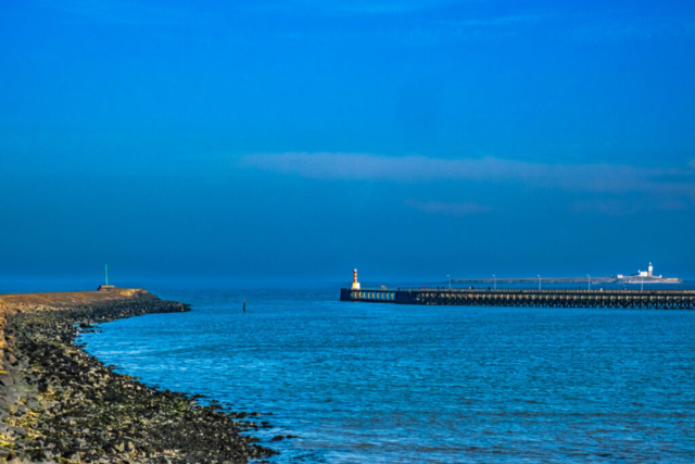
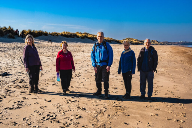
After lunch and a slight diversion to the loos, we headed into Amble and then turned right off the main street and made our way past the marina. Staying alongside the R Coquet, the path took us past a boatyard to the A1068 and on up to Warkworth with some good views of the river and castle on the way. On the other side of the river, we also had a view of the track we would be coming down on the latter part of the walk. Climbing the slight bank into Warkworth, we turned right at the T junction, took a group photo beside the gorilla and then crossed the road and headed to Warkworth Castle Keep – another group photo!! Passing the west wall of the castle, we headed north for about 50 m before making an almost 180 deg turn to take the path heading down to the river. We then headed north alongside the river, around by the church to the old stone bridge where we crossed to the north side of the river. Crossing the A1068, we then took the minor road (St Oswalds Way), ENE, which leads to the beach and the golf club. On the way we passed the coaches, so some of the group took the opportunity of leaving their rucksacks there. Having passed the loos, we took the track leading to the dunes but just before the dunes we turned S on a decent track. With the dunes on our left and a boggy area on our right (it is sometimes flooded at high tide) and the caravan site on the cliff top, we continued on the track until we were about half way down the peninsula. At this point there was an obvious route across the dunes to the sea. I offered the group the option to take this saying this would be about 10.5 mile walk or we could walk to the North Pier adding about 1 mile to the walk. As we were early and the weather excellent, the group agreed to continue on southwards. We then had some good views of Amble as we approached from this northern bank of the river, a view most of the group had never experienced. At the southernmost point of the track, we then headed thro the dunes to the North Pier. Unfortunately, a notice warned that there was no access onto the pier for safety reasons. With the tide still well out and no serious waves, it would have been OK, but we played safe and made our way NNW, back up the beach, once again enjoying the blue of both sky and sea. Reaching the track thro the dunes, we headed that way and then climbed the track up the cliff to join the road leading back to where the coaches were parked. After changing footwear etc., it was about 500 m walk to the pub.
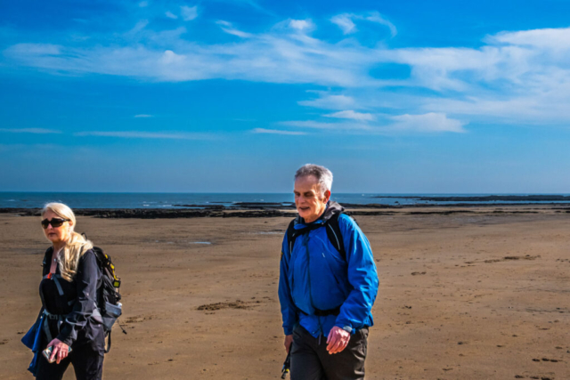
A very enjoyable walk in excellent weather for mid-March
To view the route, click on the adjacent file name 250319 Warkworth
