7 – 3 – 25 EDMUNDBYERS
Distance 16.6 Km (10.3 miles) Ascent 214 m (700 ft) Start 9.32 am Finish 15.50 pm
The second walk with Katherine leading. We left the coaches on the A68 just after the entrance to Low Fotherley Farm. Not the best stopping place, but as good as any on this stretch of road and the drivers were OK with it. The forecast was for mist and rain and sure enough it was very misty although dry at this point. Passing around the north side of the farm we headed W along a decent grassy path to Lingey Field and then headed NW to Healey crossing a rather high stile in the process. At Healey we turned S onto a road and then shortly after, when the road turned to the right, we continued straight on along a good track. After about 1 Km, at Moss Gate, Katherine suggested a morning coffee stop.
After the stop, as we continued on a better track heading slightly E of S, the rain started, so we had both mist and rain. Reaching a T junction of tracks, we turned right and headed southerly until we reached a minor road. Heading E along the road, at the 209 spot height we turned into the Dowdon Plantation, descended to cross the Dowdon Burn and then climbed out of the burn up a fairly steep embankment. After a while the climb became more gradual but it was a climb all the way up past the lodge of Minsteracres Monastery. Here we left the grass to continue S on a tarmac track. At Barleyhill, we continued southwards on a better road and headed SSW to Derwent Reservoir. It was still raining but with no sign of it improving, Katherine stuck to her plan of having a lunch stop at the tables next to the car park.
After lunch, we joined a good path leading to Cronkley. On previous visits this had given some good views across the reservoir but on this occasion we could barely see the other side due to the mist which seemed to be getting worse. Nevertheless, we continued around past Cronkley, passed a lone fisherman and made our way to the dam. After crossing the dam, we joined a good path leading up the SW bank of the reservoir. This brought us to Pow Hill and as the rain had stopped and we were slightly ahead of time, Katherine decided to have an afternoon stop. So we each found a rock to sit on.
On our way again, Katherine looked for the RoW heading S. Well not many leaders would find it as you have to cross a barely visible stone stile next to an expensive looking high and wide wooden gate. Anyhow we climbed the stile into a garden, half expecting to have a dog(s) snapping at our legs. However, all was calm and a guy wandering in the upper part of the garden, shouted for us to pass to the right side of the house, cross two stiles and we would be on the RoW. So apart from the difficulty in climbing two high stiles all was well. Once across the stiles, the path, where there was a visible path, was very uneven, climbing across ditches and boggy bits. As we neared the B6306 road we had fun and games crossing a burn surrounded by boggy areas.. Eventually the way became easier and we reached the outskirts of Edmundbyers and soon found the coaches and the pub.
Not a great day weatherwise, but Katherine planned a good walk. A couple of problem areas with boggy bits and high stiles but she kept us on the right track all day. Well done.
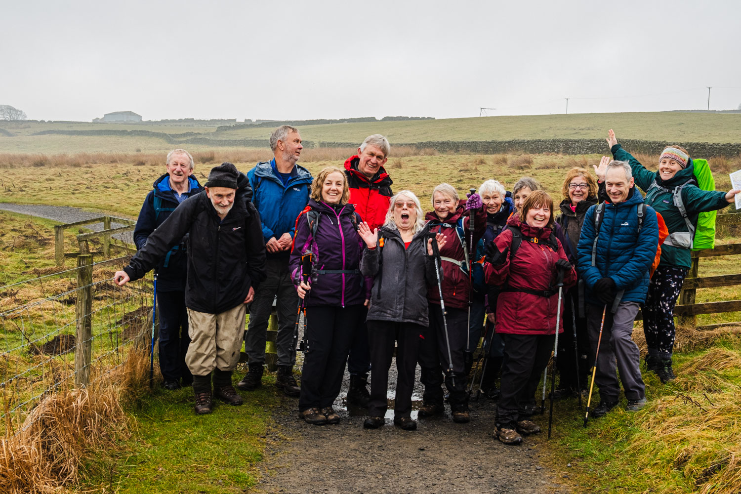
Apologies for the small number of photos, but because of the rain, my camera was in my bag most of the time. Even the photos I took are not good and I blame the rain, the mist, low light levels and possibly my impatience for this.
Click on any photo to view full screen. Move through the gallery using the < > arrows.


To view the route (in red), click on the adjacent file name 250307 Edmundbyers