06 – 02 – 25 HAYDON BRIDGE
Distance 16.6 Km (10.3 miles) Ascent 361 m (1184 ft)
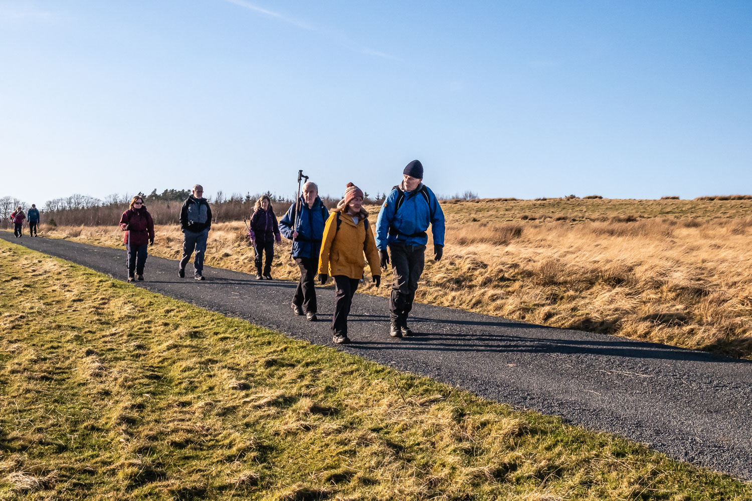
Due to accessibility, the coach was not heading right down to Henshaw as indicated in the program, so nine of us alighted SW of Westwood Cottages. Heading NE and then E past Westwood Cottages, we then made our way to the east end of Bardon Mill, crossed the A69, and the railway line and then crossed the S Tyne via the footbridge. Heading ESE, initially along a minor road, we then joined a footpath leading thro the woods towards Beltingham. Rejoining the road we headed into Beltingham and had a look at the graveyard containing the graves of some of the Bowes-Lyon (Queen Mother’s) family. Proceeding eastwards, we passed Ridley Hall once the home of some of the Bowes-Lyon family and after passing the Lodge, we headed S and then SE to the car park and picnic spot. After enjoying our morning stop in good sunshine, although it was still cold, we proceeded towards the Allen Banks walk. However, we soon came across a notice indicating that the lower path was closed so we back-tracked a short distance and began climbing to the path along the top of the woods. After a while, this path started descending thro the woods and eventually we joined up with the lower path. A reasonable path, it had the advantage of better/closer views of the R Allen, We continued around Raven Crag to eventually arrive at Plankey Mill. We crossed the footbridge which was rebuilt a few years ago and after allowing a flock of frightened sheep to pass in front of us, we entered a meadow on the east side of the river. The sunlight glinting off the water made for an attractive view. We continued SSE thro 3 meadows before arriving at the wood. I decided at this point to take a slightly higher route as I suspected the lower route next to the river may be problematic. Anyhow, I was aware that the two paths joined further on. So, we continued thro the woods but then the path which seemed fairly new and was a very good path started climbing slightly. I was aware from my GPS that we were slightly, ~20 m, NE of the path on the map but as there were no other marked paths, assumed that the trees were producing a slightly incorrect reading. However when the climb became steeper, I became more concerned and looking at my GPS found that we were significantly further from the correct path. Decision time – do we continue on this good path which was leading us on the wrong side of the Harsondale Burn with no obvious accessible route to the other bank or do we back-track to find the lower path alongside the river. The problem wasn’t so much the extra distance but the fact that already having made a significant climb we would have another significant ascent to Staward Peel. Calling the group together and putting them in the picture, I suggested that we continue on the current good path and omit Staward Peel. The group agreed and so we continued SE. Unfortunately, a little further on, the good path petered out. We found another path heading about 160 deg to our original direction but towards the top of the valley side. However, this path soon turned to the right and disappeared so that we were scrambling through bracken, tree trunks etc. At this point, I decided there was little option but to climb to the top of the side of the valley hoping that walking would then be easier. Although a difficult climb, it turned out to be the correct option as, after clambering over a fence ,we found ourselves about 200 m from Harsondale Farm which was actually on my route. Grateful to be out of the wood, we took a well deserved lunch stop in nice sunshine.
On our way again,we passed Harsondale and then proceeded ENE along a good farm track before turning NNE along a minor road. At the road junction we continued NNE on a track which started off ok, but as it descended towards West Deanraw, it became very uneven and muddy with pools of water. However, by clambering up the bank at the side of the track we were able to continue to W Deanraw. This brought us to a minor road which we followed north for a short distance before turning east. We then crossed a stile to head over a stubly surface to Black Byre plantation. After passing thro the wood, we again joined a metalled road to head NE to West Lane Ends. We then joined the River Tyne Trail and headed NE, passed under the A69 and continued into Haydon Bridge. Unfortunately we then had to continue through the village to join the B6319 and head up the bank to where the coaches were parked.
Having changed footware etc., we headed back to the village and the pub. Good weather, shame about the walk. I can’t see where we missed a path heading to Staward Peel but at least we all coped with the detour.
Click on any photo to view full screen. Move through the gallery using the < > arrows.

")


")
")


To view the route, click on the adjacent file name 06/02/25 Haydon Bridge