28 – 11 – 24 WHITTONSTALL

Distance 17 Km (10.6 miles) Ascent 288 m (945 ft) Average moving speed 3.93 Km/hr (2.44 mph) Start 10.01 am Finish 16.00 pm
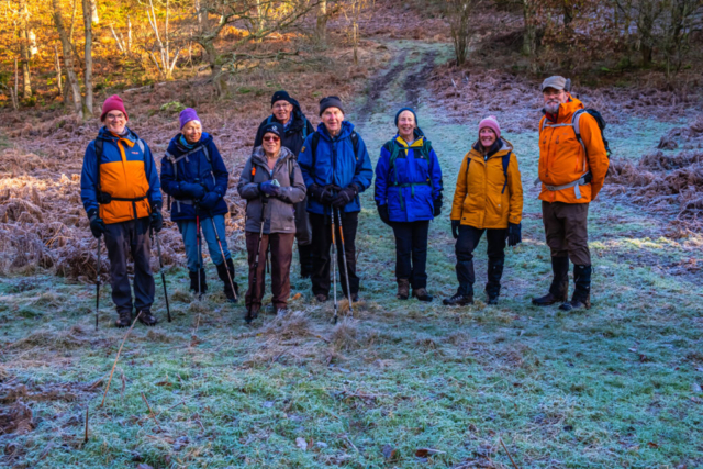
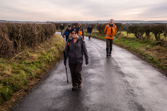
Planning a walk to Whittonstall without involving significant ascent is not easy as it is at the top of the hill. However I did manage to produce a walk with significantly less ascent than the other leaders. Consequently our walk started at the top of the hill in Whittonstall. On a very cold frosty morning, which fortunately was windless, nine of us headed SE down the B6309 before taking a minor road, then a track heading in a NE direction. This brought us to Wood house, a disused building with windows boarded up. However there were places around the building where we could sit, so once again we sat in the sun enjoying our morning coffee.
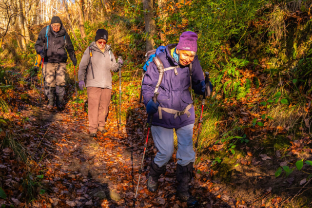
On our way again, we headed down a footpath in a northerly direction into the woods. We then came to a T junction at which point we turned right and headed past Hoodsclose although I couldn’t see any buildings. The path then continued in an ESE direction although at times it was difficult to follow. As the descent steepened, we crossed a stream and then came to a minor road (Lead Lane). After crossing the road the path was narrowed by a fence on the LHS with warning notices and shrubs on the RHS. As we headed in a general SE direction, although the path twisted and turned, the valley became steeper although still wooded. After what seemed like an age, we arrived at the River Derwent.
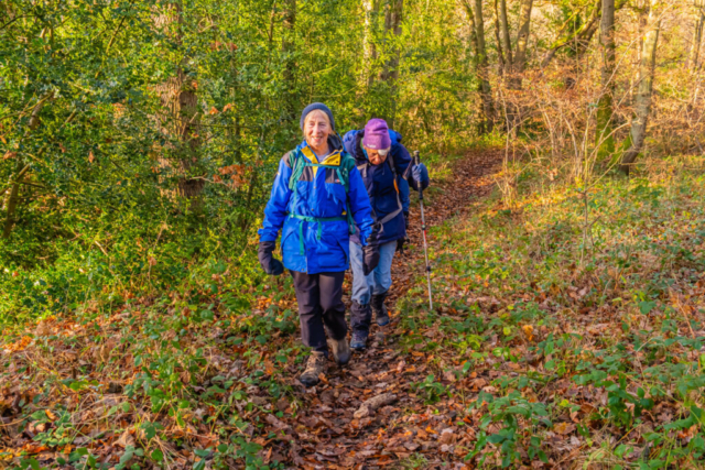
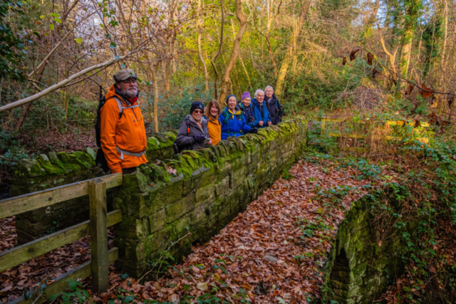
After heading under the road bridge we took a minor road past some houses to then rejoin the B6309 westwards. After a bit of a climb, we took a left turn from the B6309 onto Fine Lane. After a short distance, we took a track going slightly to the left, past Haugh Farm. This led us into a wood with the Small Burn flowing through the bottom of a fairly deep valley. Dropping down to the stream we crossed a stone bridge with a deep gully below it. Climbing out of the valley, we crossed some fields before descending to another valley. The Mere Burn was running through this valley and after crossing the burn we climbed out of the valley and along a track heading west through a wood. To say that this was difficult walking is an understatement. My expectation of frozen paths was completely wrong as many parts of the track/path consisted of slimy mud and water. Reaching Mereburn bridge at the end of this 0.75 Km slog, we found some felled tree trunks which made useful seats, so this became our lunch stop.
Decision time – my planned route took us across the adjacent minor road and onto another track through another wood. However, the road took us to the same point and was slightly shorter an important factor as we were about 15 min behind the clock due to the difficult walking. The group agreed with my suggestion that we take the road, particularly as we had only seen 1 vehicle during our 20+ min lunch stop.
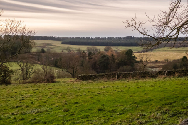
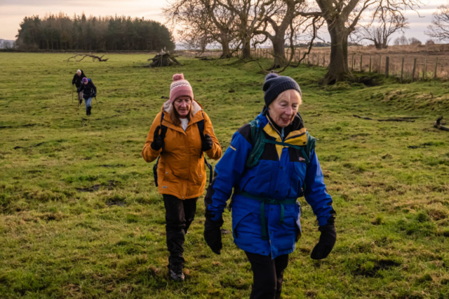
So off we went, heading SW down Fine Lane until we reached Pike Hill. Crossing Pike Hill, we headed W to Shotleyfield along another very quiet road. An advantage of this road was that there were few trees so we had good clear views across to the Derwent Valley and Shotley Bridge. Shotleyfield was just a small hamlet but it contained some nice looking houses. From Shotleyfield we headed NW on the road before turning right to head NE to Newlandsgrange Plantation. Opposite the plantation we crossed a stile to head E across a planted field to Newlands Grange. Suffice to say that there was no path following this RoW. From Newlands Grange, we zig-zagged N along RoWs, mainly along the edges of fields which had been ploughed/cultivated up to the edge of the field. Consequently by the time we reached Whittonstall Sproats our boots were thick of mud and the walking was quite heavy. The condition of the RoWs and some of the stiles, makes me think the owner of (probably) Newlands Grange) was no fan of walkers. From Whittonstall Sproats we continued on the minor road into Whittonstall, we had had enough of difficult muddy paths.
An interesting walk but in my opinion, while some of the views were good, not the best area for walking. Perhaps more ascent may have given better walking conditions!!
To view the route, click on the adjacent file name 241128 Whittonstall


