5 – 11 – 24 BAMBURGH

Distance 16.5 Km (10.3 miles) Ascent 132 m (433 ft) Average moving speed 4.36 Km/hr (2.71 mph) Start 10.29 am Finish 15.54 pm
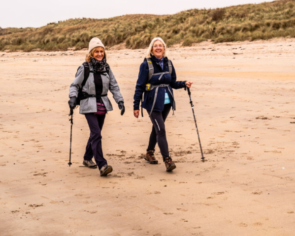
Leaving the coaches on the B1340 near The Trees, on a very overcast day, we took the parallel road leading down into Beadnell. On entering the main part of the village we turned SSE towards the caravan site. Entering the caravan site, we took the track heading SSW. After passing the fence marking the site boundary, we headed towards the dunes before discovering that there was no access so we headed SSW again to another fence and, with some difficulty made our way up the dunes. If the climb to the top of the dunes was difficult, some of the group thought that the descent to the beach was even worse with some sliding down on their backsides. Once on the beach we headed for the firm sand and made our way NE up to Beadnell harbour. At the harbour, we found suitable seats and had our morning coffee stop.
Leaving the harbour, we joined the road and made our way NNW. At the point where the road met the B1340, we left the road and after a short distance along the cliff top we descended to the beach. Again on the firm sand, we made our way NNW to N Sunderland Point (Snook) where we crossed Seahouses golf course, passed the caravan park and made our way to the seats overlooking Seahouses harbour. As we were in good time, we had a nice relaxed lunch looking out at the harbour and the few boats which were present. Meanwhile a couple of the girls decided to go to buy fresh fish etc. and were quite pleased with their purchases.
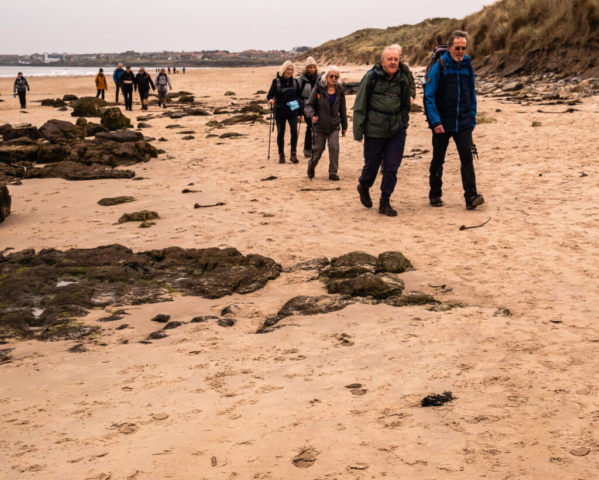
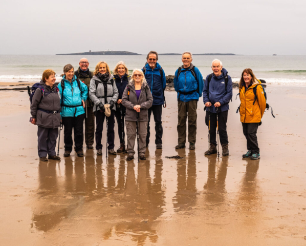
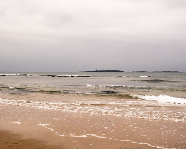
On our way again, still under an overcast sky, we headed around the harbour, called in at the toilets and then made our way NW towards Bamburgh. Initially on a path alongside the road, we then dropped down to the beach once we were past the rocks. With the firm sand once again making for easy walking, we again made good time, until I decided we should have a group photo in font of Monk’s House. Soon we were on our way again although some of the group then stopped at Greenhill Rocks to help some of Peter O’H’s group who were having a slight problem crossing the rocks. The rest of the group waited a short distance up the beach and when the helpers rejoined, we continued our journey NW. After passing Redbarns Links, the majestic shape of Bamburgh Castle came into view. However, as we were still in good time I proposed that we continue with my planned loop up towards Blackrocks Point Lighthouse where we could have a short afternoon stop. Sitting on the rocks, the sky started to lighten and looking up towards Holy Island, we could see the sun shining on the castle. Leaving the rocks and starting to walk back along the golf club access road, Bamburgh Castle, the sands and the waves became sunlit making for a good ending to what is always an enjoyable walk. It only remained to head around the base of the castle and across to the coach park or up the road to the pub.
To view the route, click on the adjacent file name 241105 Bamburgh


