30 – 10 – 24 CASTLE CARROCK
Distance 16.0 Km (9.9 miles) Ascent 262 m (860 ft) Average moving speed 3.89 Km/hr (2.40 mph) Start 10.36 am Finish 16.11 pm
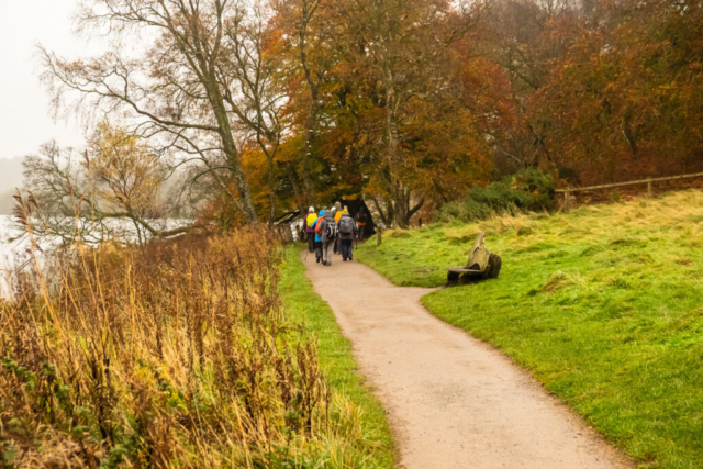
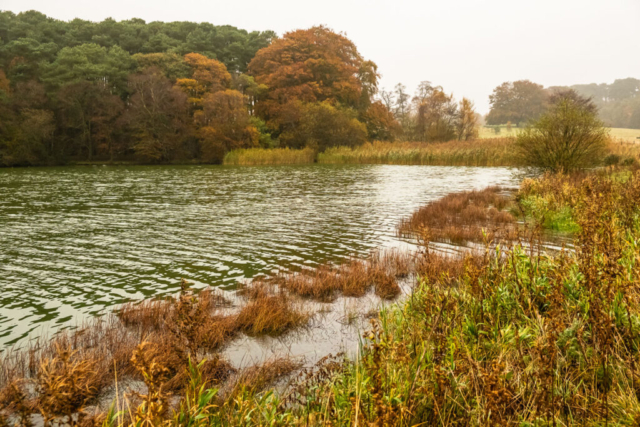
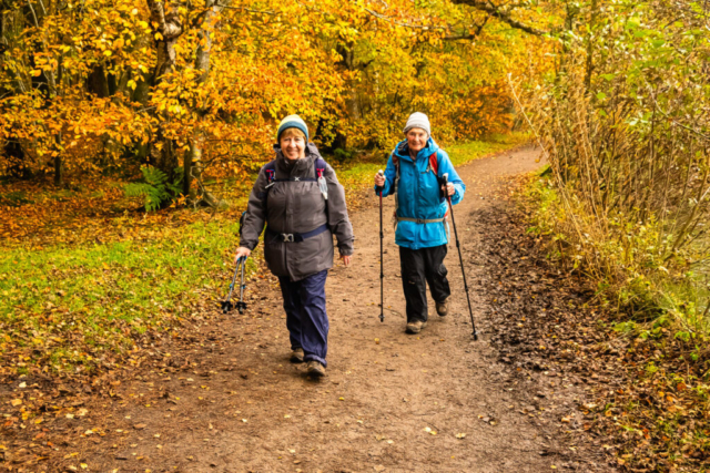
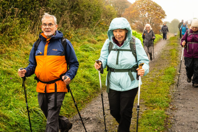
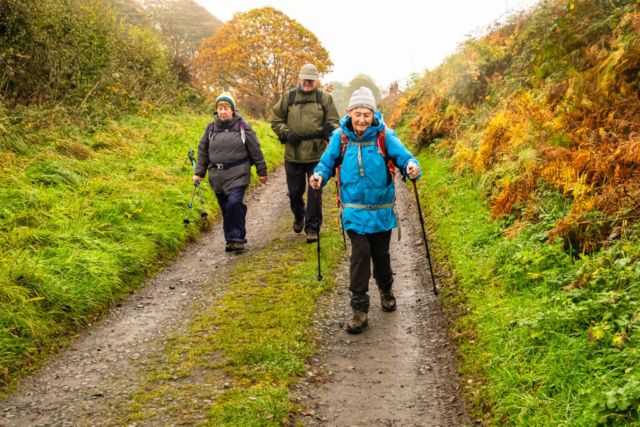
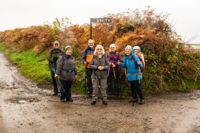
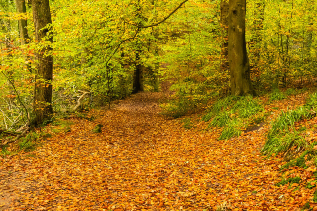
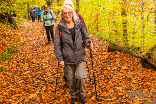
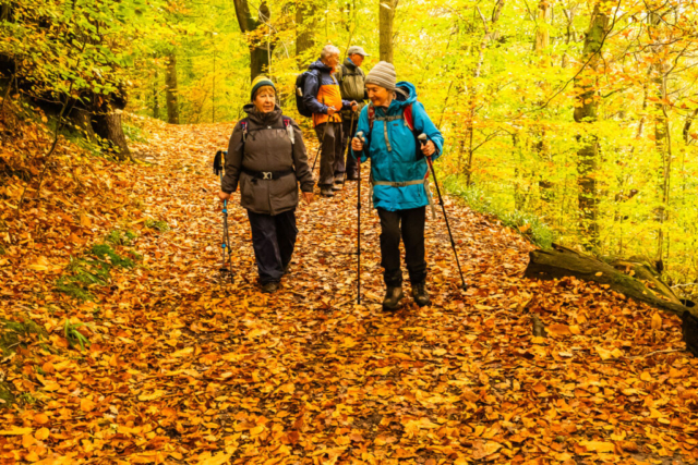
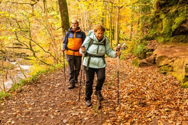
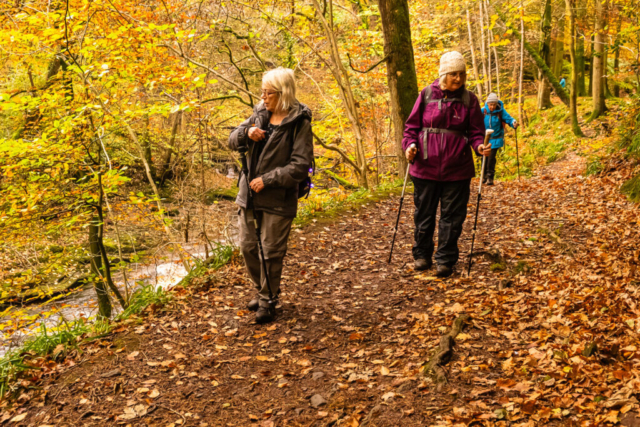
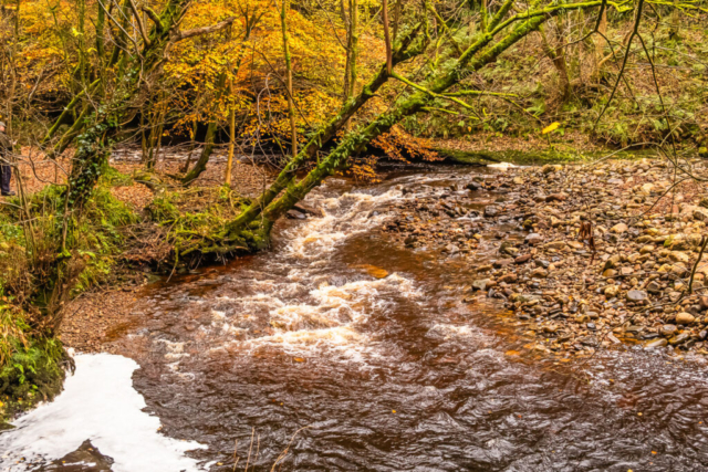
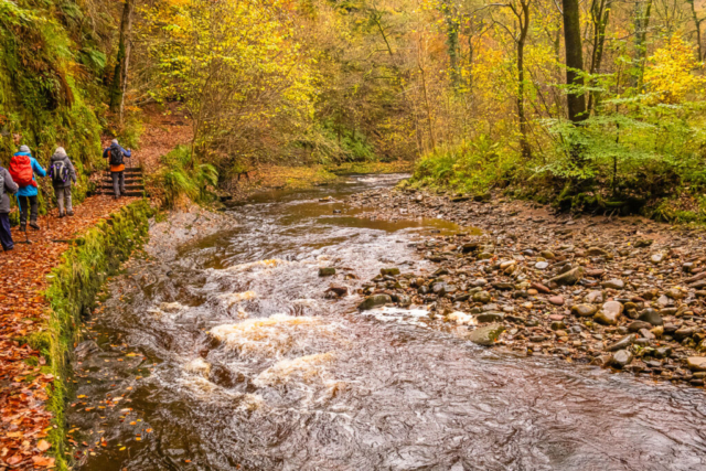
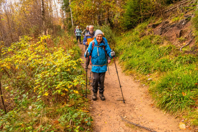
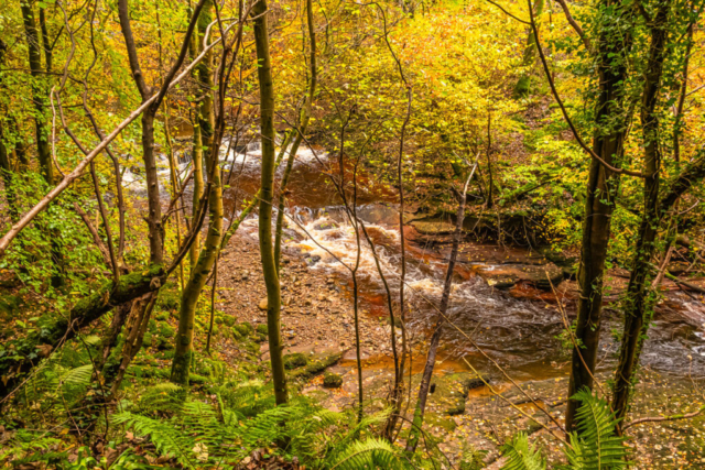
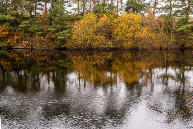
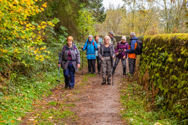
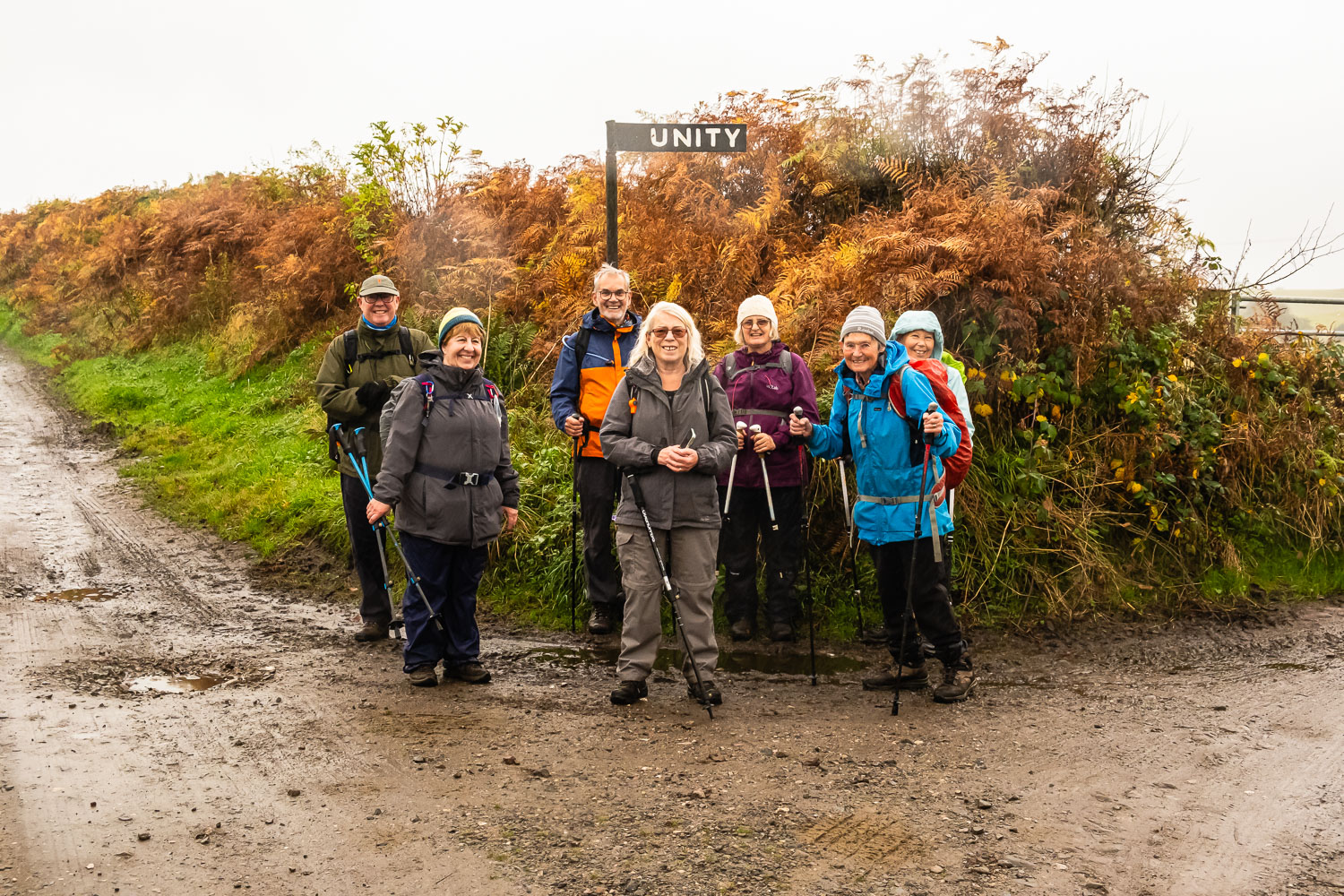
Leaving the coach just before Bramptonfell Gates level crossing, eight of us headed down to Talkin Tarn on a misty morning. From the car park, we made our way anti-clockwise around the tarn, visibility being just enough to see the far side of the tarn. However, the close up views were quite good with some colourful trees and plenty of yellow/brown leaves on the ground. Pleased to say that the path was quite good with a gravel surface rather than mud. Having circumnavigated the tarn, we arrived back at the picnic tables where we had our morning stop. Leaving the tarn we headed N along an ill- defined path and then WSW along the Brampton station road, continuing in a WNW direction after crossing the B6413. Shortly after Wreay, we turned south to Unity. After some questioning as to the exact route we headed past the east side of the buildings and then headed SW to the top of the Gelt Valley. There followed a pleasant walk through the woods in a NE direction, descending all of the time. Eventually we reached a path off to the left descending to the S. This brought us to the NE bank of the River Gelt. After a fairly short distance we arrived at a wet muddy patch across the path. I decided we should try and circumvent this and Kath led the way, only to fall knee deep in a more boggy area. Suffice to say, it took two of us to pull Kath out, despite her lightweight build. We made it across the original wet path and continued along by the river with some attractive views although the total lack of any sun did not help. Having failed to find a lunch spot, we eventually arrived in Gelt Woods took the higher path and spotted some fallen trees to our left. As these were suitable for sitting, this made a perfect spot, so we sat down and ate a late lunch.
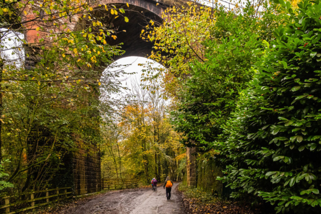
On our way again, the path dropped to the side of the river and we continued at this lower level until we reached Middle Gelt Bridge. After crossing to the SW bank of the river on the road bridge, we passed under the high arch of the railway bridge and shortly afterwards took a path on the left which after climbing a stile, brought us alongside the river. We continued SE along a mainly grassy path until we reached the hamlet of Greenwell. Shortly afterwards, we took a track to the right and headed towards Castle Carrock. As we approached the village, the track deteriorated and we ended up plodging thro water several inches deep or along the boggy/muddy side of the track.
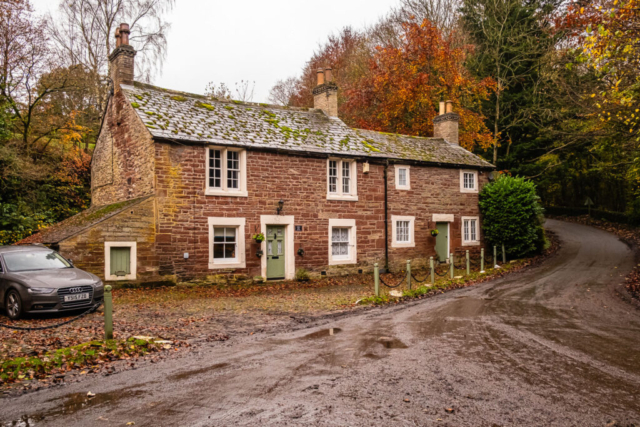
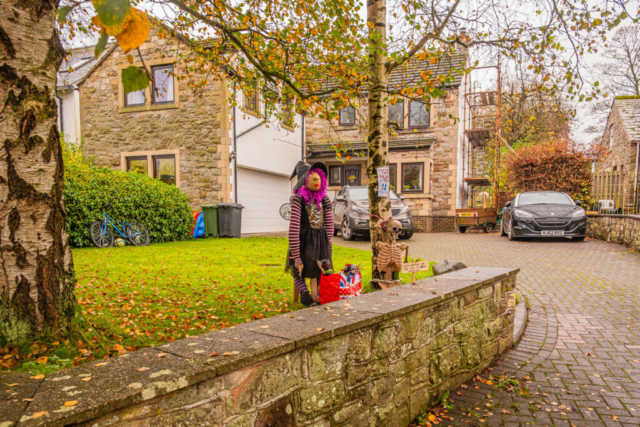
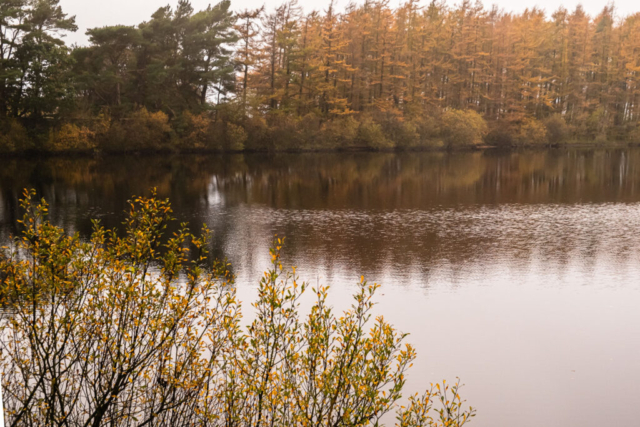
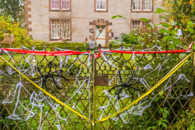
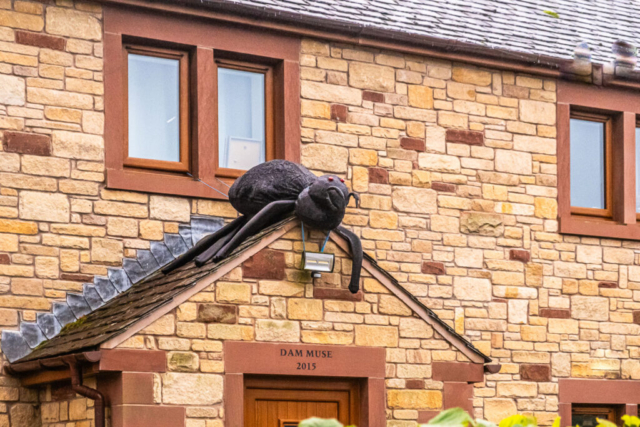
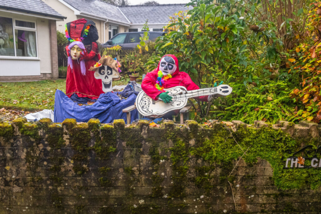
The route intended passing thro the village to head south to Castle Carrock Reservoir, so we left the village, made an anticlockwise circuit of the outside of the reservoir initially on the road and then back N along a road/track. Unfortunately, on the southern leg a high wall prevented a view of the reservoir and on the northern leg while the taller of us could see the reservoir in places, the mist, while giving an ethereal view , did not help the overall view of the reservoir. Coming back into the village, we stopped to look at several halloween displays before making our way to the coaches and then the crowded pub.
An interesting day with several different aspects, some good, the boggy bits definately not good.
To view the route, click on the adjacent file name 241030 Castle Carrick
