18 – 10 – 24 DANBY

Distance 13.5 Km (8.4 miles) Ascent 209 m (686 ft) Average moving speed 4.11 Km/hr (2.56 mph) Start 10.11 am Finish 15.24pm
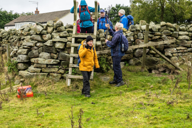
We left the coach just after turning from the A171 onto a minor road at High Thorn. Peter C had intended taking a RoW on the left and while the sign was visible, the footpath wasn’t. Consequently we headed SW along the road until the road turned 90 deg due S. We continued WSW on a gravel/stony track across Gerrick Moor. Visibility across the moor was reasonable although it was very overcast while dry. We continued across the moor on a fairly level track until we reached a minor road, Three Howes Rigg, which we crossed, bringing us onto a minor road continuing in the WSW direction. I was not a happy chappy at this point as my camera was malfunctioning, all the photos being out of focus even though I had tried changing several parameters. Consequently I put the camera away intending to enjoy the rest of the walk. As we descended on the road, we began to see the buildings of Commondale. On a right hand bend we left the road, joining a track which brought us into Commondale. After visits to the toilets in the village we started the climb westwards up the minor road. As the road turned slightly left and the hill leveled out, we crossed into a field and headed SE on a RoW although there was no sign of a path on the ground. This eventually brought us to the railway line which we followed to the hamlet of Foul Green. We turned S onto a minor road, crossing the railway and the Sleddale Beck. We were about to enter a field and head on a path along the south bank of the beck when Peter C got into conversation with a local worker who advised that the path was very boggy and almost impassable in places. He advised taking the RoW on the north side of the railway. So we turned around, back under the railway line and made the short climb up the road into Foul Green. Peter decided that this was to be our lunch stop.
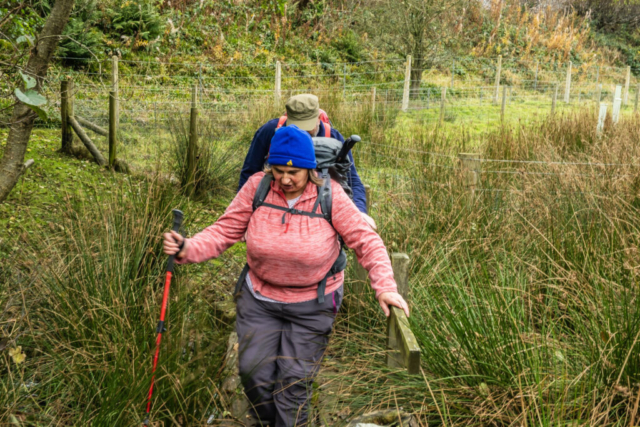
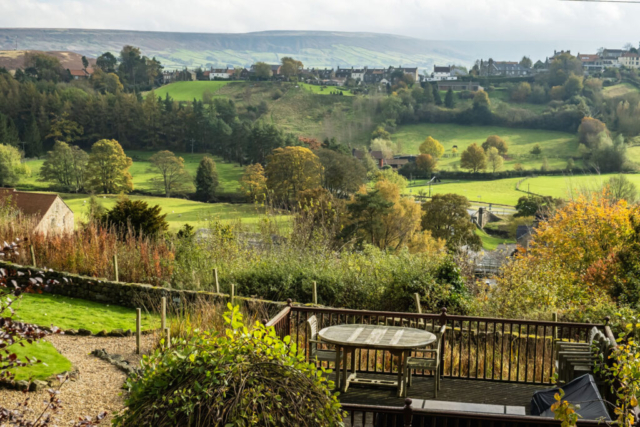
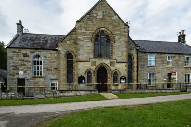
During lunch, as well as eating, I played with the camera and I was pleased to find that while not perfect, it was taking reasonable photos, so the photos below start after leaving Foul Green. We headed ESE on a RoW which brought us near the railway. However this area was also boggy and we had to wade through reeds etc. until we reached a fence and gully which was impassable. After a minute or two wondering what to do, we realised that on the other side of a wire fence separating us from the railway there was a semblance of a path, so we back tracked to a gate, went through and joined this faint path. With some difficulty, we continued following the railway until we were able to join the Esk Valley Walk, SE of Moorside. At this point in the walk it was brightening up and there were odd splashes of sunshine on the sides of the valley. We continued travelling SE along the EVW which had now become a tarmac track. With increasing sunshine there were good views across the Esk Valley. Passing Castleton, we then joined the Three Howes Rigg road which we had crossed earlier in the day. After a short distance downhill, we left the road , joining a track (EVW) on our left which took us thro Park Nook and we then progressed to Danby Park. The Esk Valley walk took us back onto a minor road heading up into Danby but Peter C decided to take a footpath on our right. While more scenic we did have to wade through at least 3 – 4 in of water for several yards. However, we came thro unscathed and a climb over a stile brought us into Danby village.
An interesting walk with good valley views in the latter stages. Thanks Peter C.
To view the route, click on the adjacent file name 241024 Danby


