11 – 11 – 24 ALLENDALE

Distance 17.2 Km (10.7 miles) Ascent 319 m (1046 ft) Average moving speed 4.15 Km/hr (2.58 mph) Start 9.46 am Finish 15.57 pm
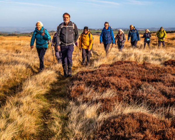
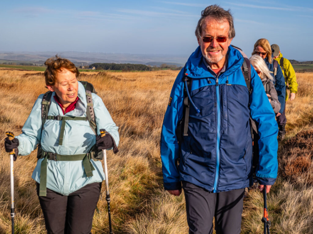
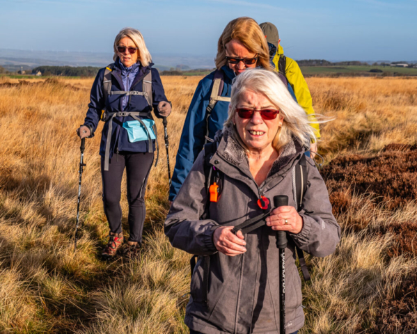
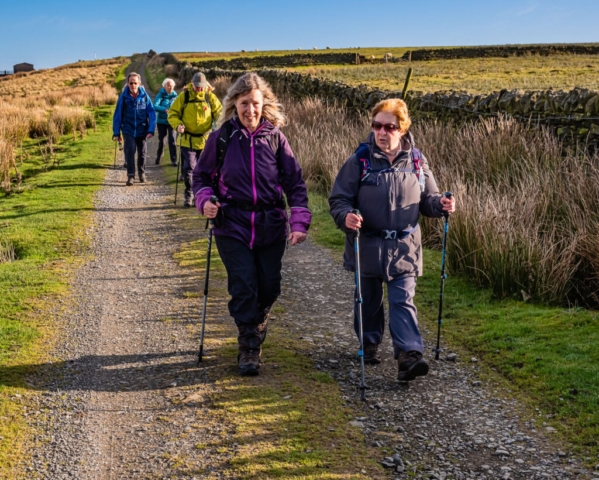
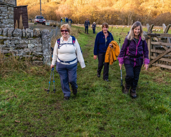
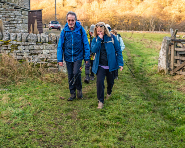
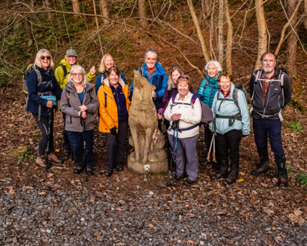
Leaving the coach at West Nubbock on the B6305 on a bright and fairly warm November day, 12 of us headed south on a tarmac track to W Greenridge. After crossing a ford, the tarmac turned to an earthen/grassy track as we headed to Long Moss. After crossing a footbridge, I initally led the group S on a track for a short distance before realising that I should be heading WSW so we did a short section of heather bashing to join the correct track. This was a reasonable track which we followed across the gradual climb over Spitalshield Moor until we turned off the RoW on a gravel (shooters) track heading S for a short distance before returning to the WSW direction. We followed this until we reached the shooter’s hut where we halted for our morning coffee stop.
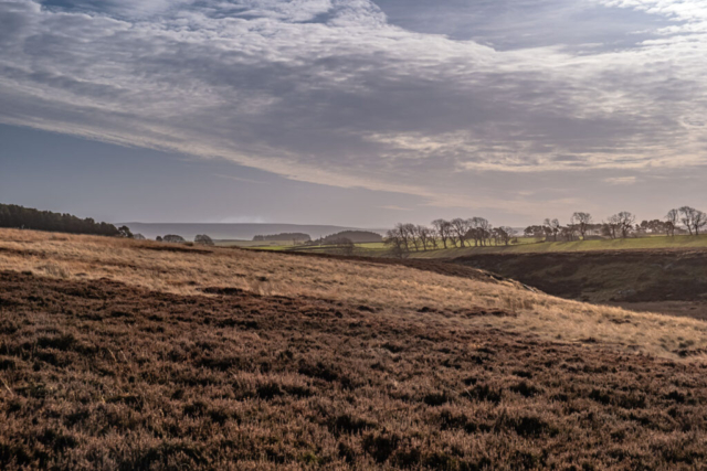
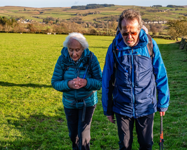
After the stop we continued along this good track past North Church Lands where we started to descend. The views across the moor had been excellent under a clear blue sky with just wisps of cloud but as we looked down to the W Allen valley, the views just got better. As we headed down Splitty Lane End, perhaps I became too interested in the views as I turned left instead of right adding a round trip of ca. 500 m to our walk. Having made the correction, we continued downhill to Catton where we found suitable seating and had an enjoyable lunch in the warm sunshine.
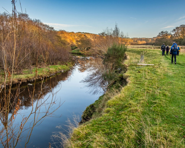
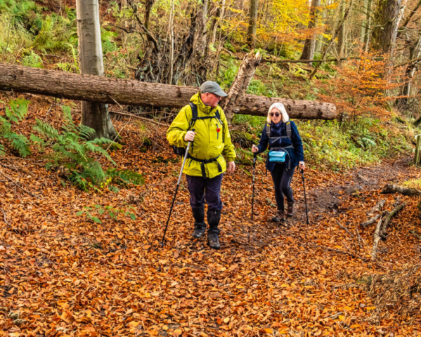
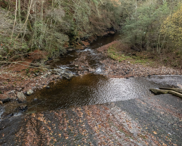
Leaving Catton, we headed west finding with Michael’s help a narrow path alongside a stream. Although the path left the stream a short distance later, the path did not improve being narrow and partly overgrown. The path took us to Pasture House and after passing thro a gate we kept to the right of the fence as shown on the map only to find that the path was on the left of the fence, so another detour. Arriving at Old Town we discovered (via the lady of the farm) that the RoW had been diverted so we followed her directions and made our way, NW, towards Colliery Lane. En-route we passed a field containing some fairly large Lamas. We then proceeded to descend down Colliery Lane which brought us to the bridge crossing the R West Allen. After crossing the bridge we turned SE onto a track passing the buildings at Oakpool and we followed this firm grass/earth track alongside the W Allen past Kittygreen to Bridge Eal. At this point, we were ahead of time, so I suggested a short afternoon drinks stop at Bishopfield Haugh. After the stop, we continued near the river passing thro an attractive autumnal wood before crossing the river at Thornleygate. We then continued SE on a reasonable path through the trees and shrubs along the north bank of the W Allen before joining the B6295 and the final climb into Allendale.
An enjoyable, varied walk, in excellent weather, despite my couple of errors.
To view the route, click on the adjacent file name 241111 Allendale
