24 – 10 – 24 AYSGARTH

Distance 13.7 Km (8.3 miles) Ascent 359 m (1177 ft)
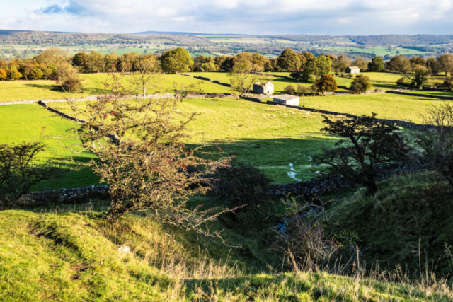
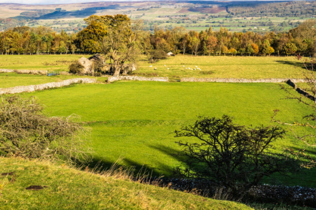
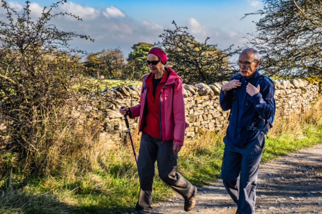
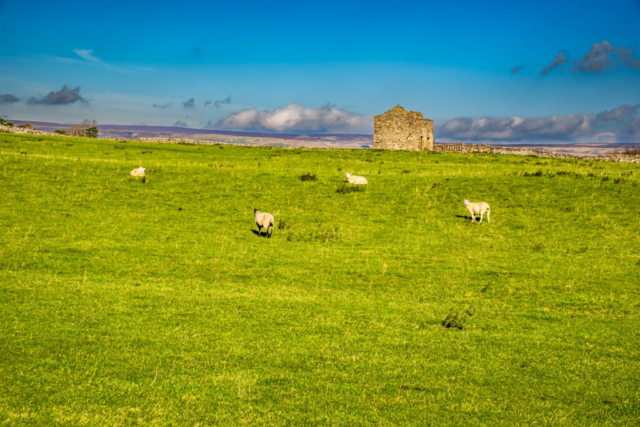
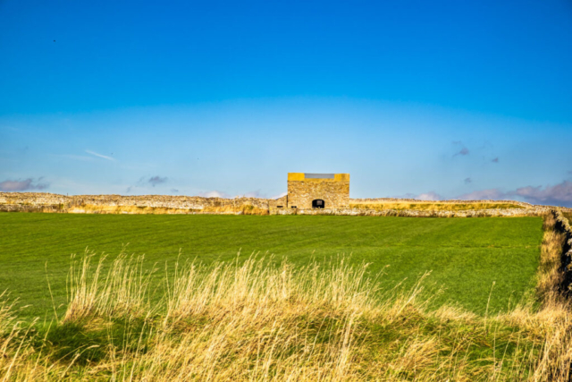
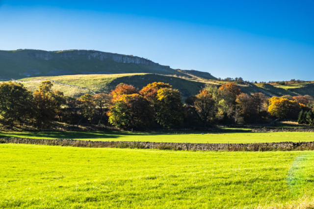
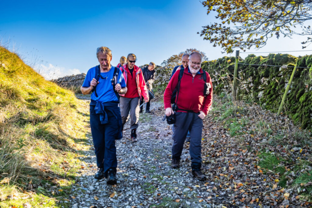
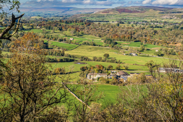
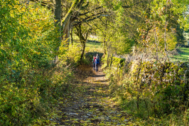
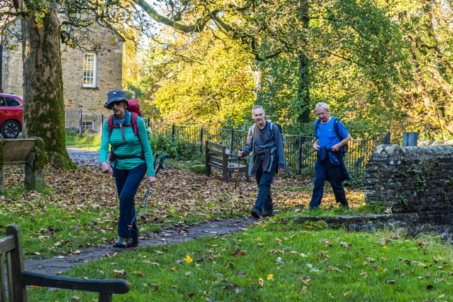
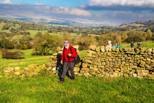
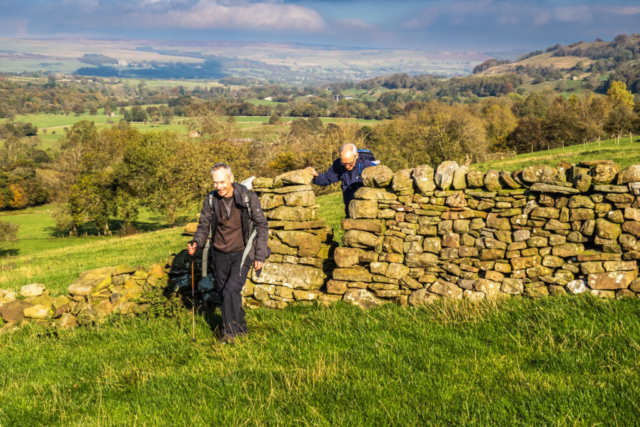
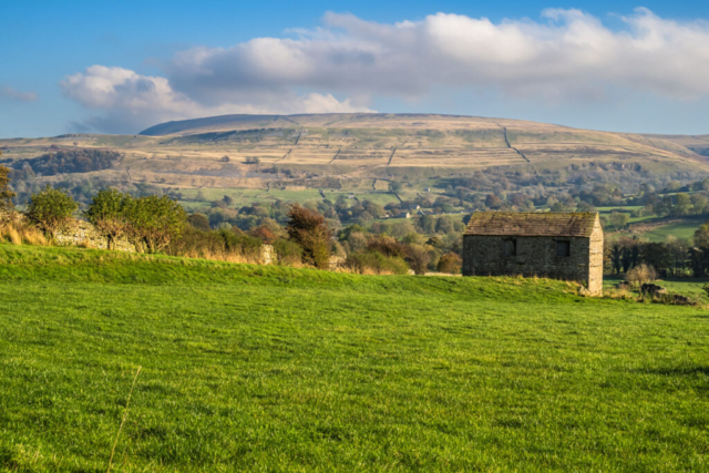
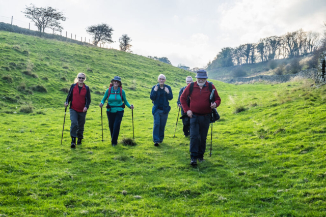
During our drive down the A1, the weather had been murky contrary to the weather forecast. However, heading into Wensleydale we were met by blue sky and sunshine. Leaving the coach in West Witton, Peter Craig led a group of 7 back a short distance along the A684, then turned SE between some buildings then over fields. We then headed S, climbing up to High Lane. This was a fairly level gravel track allowing easy walking. In addition, there were excellent views up towards Penhill to the south and across the R Ure valley to the north. After about 2.5 Km, the track bent gradually from NW to SW. Where the track separated into two near Morpeth Scar we had our coffee stop.
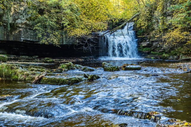
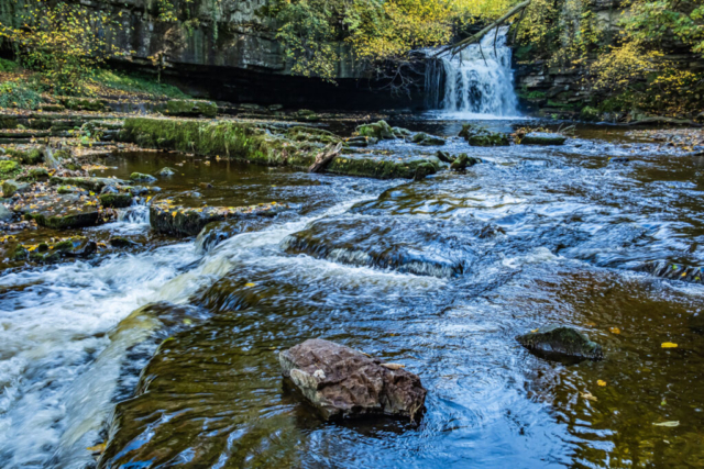
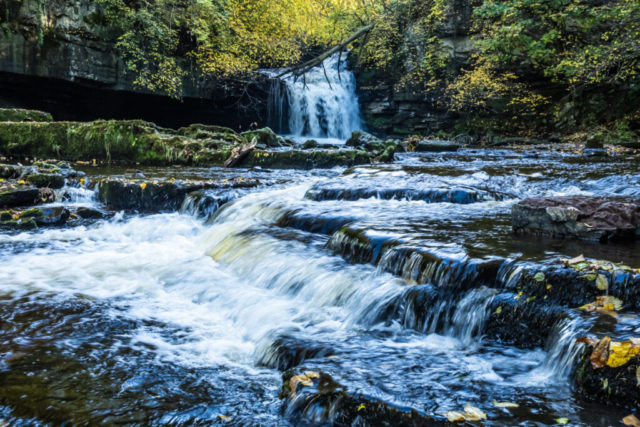
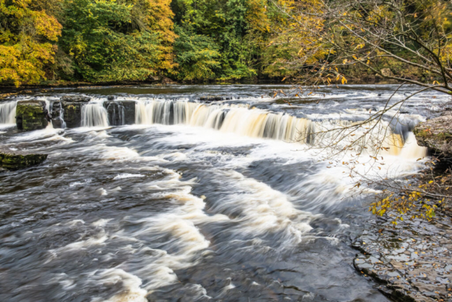
Fortunately, Peter C had planned to take the right fork which was heading down rather than the left track heading up above the Scar. This track. named Morpeth Gate, was heading down to West Burton. At this point I had fallen behind the group having stopped to take photos and then having problems with my jacket which I had removed due to the heat. Unfortunately, I failed to see a path heading off left and continued down to a tarmac road. Just before the road my phone rang with Peter asking where I was. He had taken the path on the left so we agreed that I would meet them at the W Burton waterfall where I knew Peter was having a lunch stop. This was no problem as it was only a few hundred metres from my position. Arriving at the watrfall, I started taking photos while waiting for the group and when they arrived apologised to Peter for not keeping up with the group.
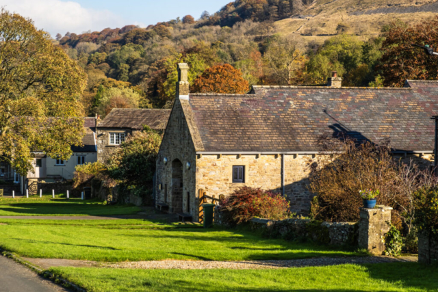
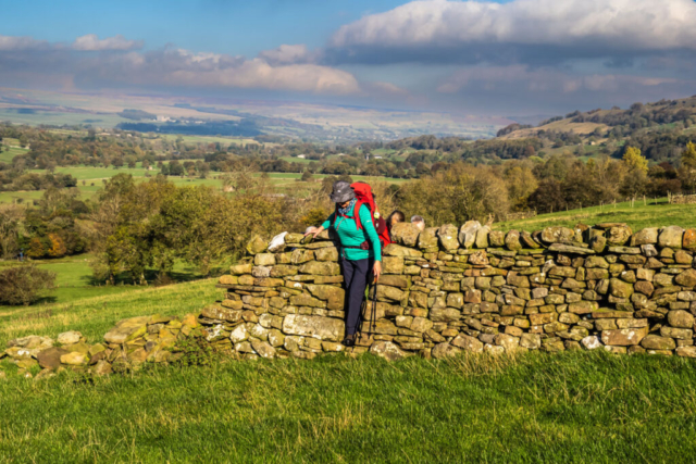
After lunch, we left the falls and headed up into West Burton. This is an attractive village where we have finished in the past. Leaving W Burton we continued SW over grassy fields with an unending number of typical Yorkshire narrow stone stiles. Just short of Newbiggin, we took a path heading N and this took us to Thoralby, an attractive old village. From Thoralby, we took a minor road to Tomgill Bridge then left the road and took a path across fields with more narrow stone stiles to come out opposite our destination pub.
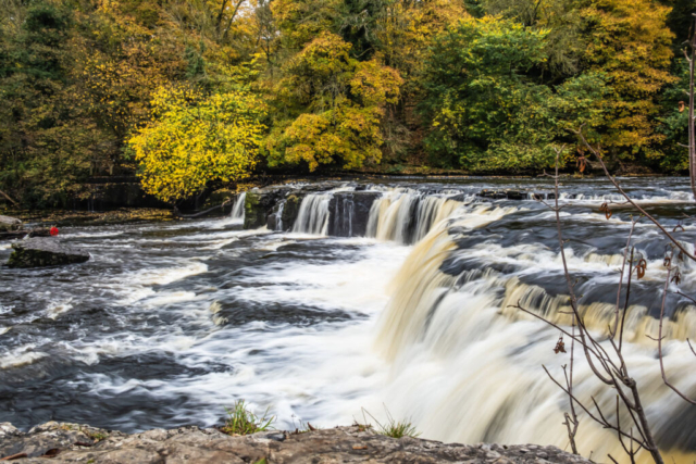
Some of us decided it wasn’t the destination and after discarding rucksacks on the coach, we headed down the short distance to Aysgarth Falls. Unfortunately, during the last half hour or so of the walk, the sky had clouded over and although there was a lot of water coming over the falls the lack of sunlight reduced the photographic potential of the falls. Nevertheless, it was an excellent walk with great scenery and excellent weather apart from the last half hour. Thanks Peter.
To view the route, click on the adjacent file name 241024 Aysgarth

