17 – 7 – 24 KNARESBOROUGH

Distance 19.6 Km (12.2 miles) Ascent 286 m (938 ft) Average moving speed 4.63 Km/hr (2.80 mph) Start 10.41 am Finish 17.08pm
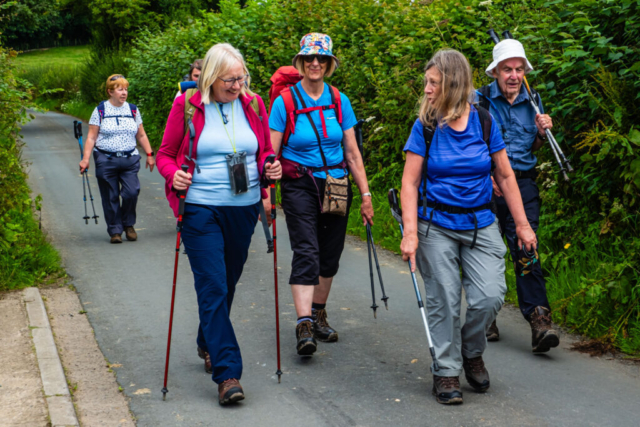
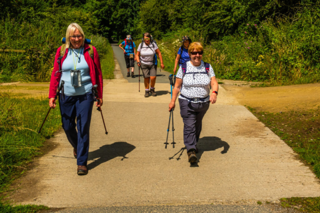
Leaving the coach at South Stainly on a bright, sunny and warm morning , 7 of us crossed the road and then made our way westwards along a fairly good surfaced track. At Cayton, we had our first stop, coffee for some, a cold drink for others. Moving on again, we headed south, again on a good track, via Cayton Grange then turning SW until just before Newton Hall where we turned back northwards to join the Nidderdale Way. The Nidderdale Way headed S and then after becoming a minor road it turned SW joining the B6165 just north of Ripley. When planning the walk, I thought Ripley looked a good spot for lunch and it turned out even better. The whole village, and its buildings, was impressive.
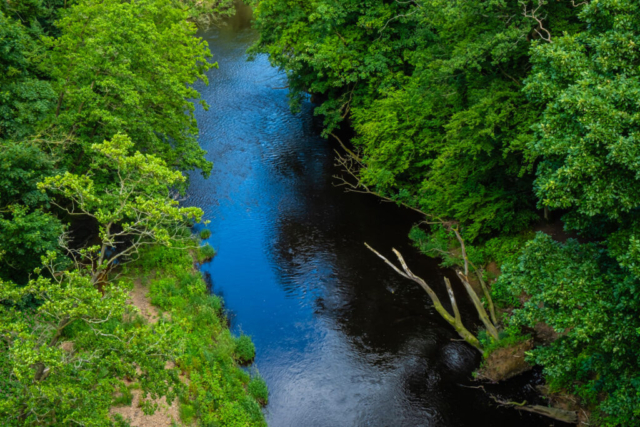
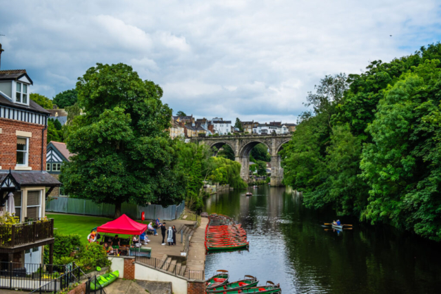
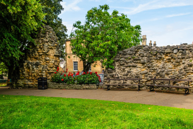
After our lunch, we took a leisurely stroll to the castle, had a quick look around and then made our way SE out of the village and down to the R Nidd. We headed E on a dismantled railway track along the wooded north bank of the river. After about 1.5 Km, this then turned SSE, joining another dismantled rail line before heading to the Nidd Viaduct. At the viaduct we had a drinks stop, a necessity in the soaring heat. Meanwhile Dave Whitely’s long walkers passed us. Leaving the viaduct, we heaaded ENE along the edge of a field before dropping down to the riverside where we joined the Harrogate Ringway. One advantage of this part of the walk is that the bankside was covered with trees which provided significant shade against the hot sun. The disadvantage was that the path was quite muddy in places as it had not dried out. Afterthe path turned from NE to SE, we arrived at the Nidd Gorge. This was quite disappointing as I had anticipated near vertical cliffs, however while the valley sides were fairly steep, imo. no way could it be called a gorge. We followed the path alongside the R Nidd and around the curve at Bilton Banks. Continuing along the south bank, we arrived at a footbridge. Here we had another stop for refreshments and any remaining food. Eventually, we left the river, heading S to Bilton Lane. The lane took us in an easterly direction eventually arriving at the A59 road bridge leading into Knaresborough. On the opposite side of the road was the lane leading to Mother Shipton’s cave. At the entrance to the lane I was informed that it cost £13 to visit the cave and access to the lane required the £13 payment. I had intended following the lane along the south bank of the river but needless to say we were not prepared to pay so we headed across the bridge to the north bank. Turning E along the north bank we quickly arrived at an ice-cream shop. The girls then decided we should have an ice-cream. So with ice-creams in our hands, we headed to the seats beside the river. After enjoying the ice-creams, we continued along the riverside until just before the B6163 road bridge where we turned north and made the steep climb up to the castle. After looking around the castle ruins and the excellent view up the R Nidd, we made our way to the main street. Having been advised that the buses were not parked near the pub we still decided to go to the buses first.
A very enjoyable walk in glorious weather although it was a little too hot. Apologies for the additional mile or so but I had not accounted for the stroll to Ripley Castle, the wander around Knaresborough Cstle and the extra half mile to the bus.
To view the route, click on the adjacent file name 240717 Knaresborough


