11 – 7 – 24 STANHOPE

Distance 18 Km (11.2 miles) Ascent 251 m (823 ft) Start 9.51 am Finish 16.25 pm
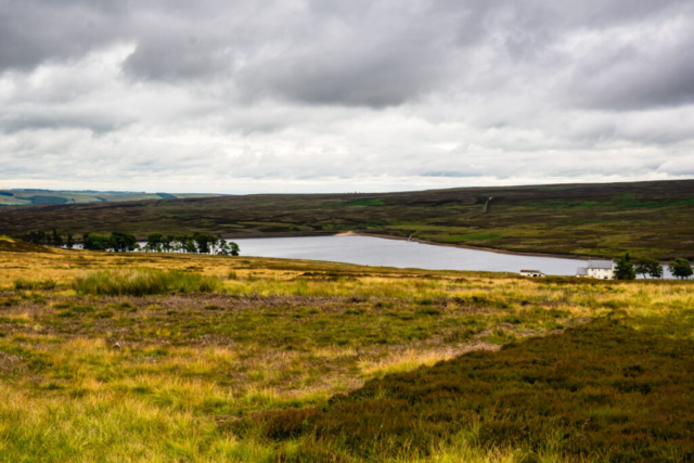
Leaving the coach just south of Edmondbyers Cross on a very overcast day, but with good visibility, we headed eastwards along an old wagonway and then joined the Waskerley Way. After about 600 m ENE along the Way, I was looking for a footpath down to Waskerley Reservoir. We walked past it at first and then one of the group found a slight semblance of a path. We followed this with difficulty in terms of seeing the path although the terrain was OK and it brought us to the row of grouse butts which led towards the reservoir. We headed into a large walled enclosure which contained a couple of tables and forms and had a leisurely coffee stop near the reservoir.
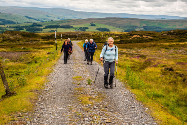
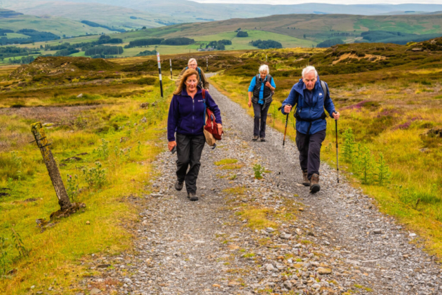
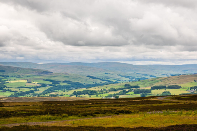
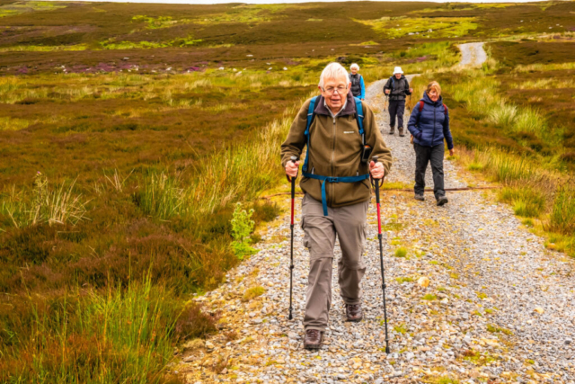
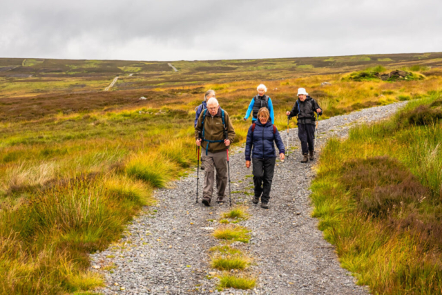
After coffee we turned NE up a good firm track, passed an isolated inhabited house and at the top of the slope rejoined the Waskerley Way but this time in a SW direction. Walking along this old wagonway was easy, and the track began to slowly bend left, eventually, after nearly 3 Km, heading in a SSW direction. At this point we were approaching the B6278 and before it was Fell Haven. This was a cafe and a stopping place mainly for cyclists but it now looks closed. Continuing a little further on the Way which was now running parallel to the road, we reached a point where another well defined track was heading off left (SE) up a slight slope. Taking this track, it continued to climb and then it levelled out as we passed Millstone Quarries. The track turned NE and began to climb again before eventually levelling out after we rounded a 90 deg bend and headed SE. After a while we spotted our lunch spot, the trig point on Collier Law so we left the original track and followed another track up to the Trig. We decided that the trig while providing excellent view was not ideal for lunch, so we made our way SE alongside the fence where we found a nice grassy spot with some rocks at the junction of the fence. The views across the Wear valley were also excellent so we had a very leisurely lunch stop of over 40 min.
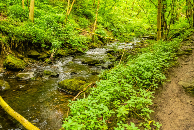
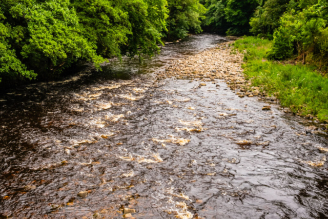
Taking the track S then W we then had to walk through grass etc to rejoin our original track. Back on this track, it soon turned S then SSW with a reasonably steep descent. We continued in this direction, parallel with the Black Burn below us on our right. After crossing the Black Burn we had a sharp descent to the Crawley Burn. We continued on the track which after a zig zag headed south joining a road which led to Jollybody Farm. Immediately after passing the farm buildings, we turned E through a gate and made our way across a grassy field to Shittlehope Burn. After passing thro a newish metal gate we travelled a short distance upstream before crossing a footbridge and heading down the east bank of the burn. To say that this path was muddy is an understatement and we had to take great care not to slide down the bankside into the burn. Not a good path following an extensive period of rain. At the bottom of the dene, we crossed a footbridge and headed to the eastern edge of Stanhope before making our way to the A689 and then heading to the R Wear via Shittlehope Farm. After crossing the Wear and passing under the railway bridge, we turned NW into the caravan park and continued along the path which passed under the railway line and headed alongside the R Wear. At a footbridge we crossed to the north bank of the Wear, made our way to the main street and after a short distance reached the Bonney Moorhen pub.
An interesting walk on the moors along good tracks. The trip down the dene was not so good and best avoided after heavy rain. While overcast, the rain kept away and visibility was fairly good, we even saw the outline of Cross Fell.
To view the route, click on the adjacent file name 240711 Stanhope
