20 – 5 – 24 BRAITHWAITE

Distance 15.5 Km (10.1 miles) Ascent 525 m (1722 ft)
Unfortunately, due to a malfuncion on my phone GPS (possibly because I failed to press the start button!!!), I do not have accurate data re timings and the distance and height data are taken from Memory Map mapping.
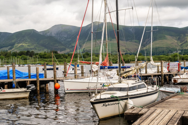
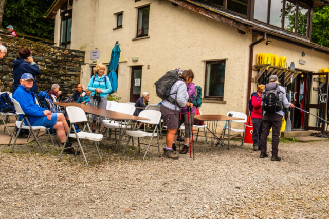
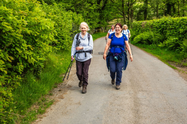
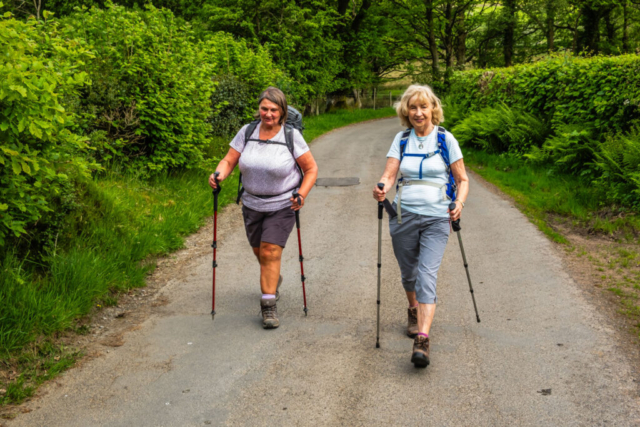
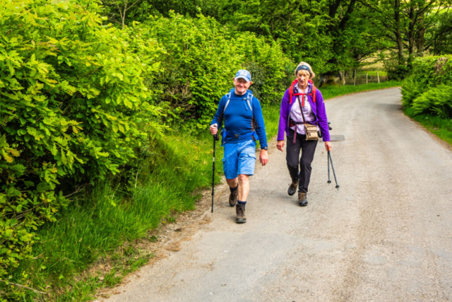
On a fairly cloudy but warm day, 9 of us alighted the coach on the B5289 near Crossings Bridge. We made our way SW through Portinscale on a good firm track and then, in the village, joined the road leading down to the west side of Derwentwater. After passing the Derwentwater Marina and then the landing stage, we left the road and turned onto a track which led us to Nichol End. Here there was a cafe and a good number of unused tables and chairs so we took the opportunity to sit and have our coffee stop. A little while later Heinrich’s 7 mile group arrived so we all sat admiring the view which included Skiddaw, and Blencathra as well as Derwentwater itself.
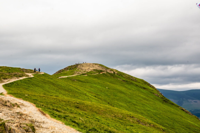
After coffee etc, we headed along a good track behind the cafe which led us past a pen of lamas. This brought us onto The Cumbrian Way and we continued S on this through the woods of Stub Hill until we came to the open aspect of The Park. From here we had a great view of the northern face of Cat Bells. Just looking at it reminded me why I had planned a route up the more accessible sloping path from Manesty. Anyhow, from The Park, we continued S past Hawes End Outdoor Centre and then down to the edge of Derwentwater at Victoria Bay. From here we had excellent views both across the lake and up the length of the lake with Skiddaw on the background. Continuing around the edge of the lake, we came to Brandlehow Bay where there were further good views before passing through the woods of Manesty Park. This then brought us out onto the minor road leading to Grange. A short distance down this we took a slightly rough path on the right which brought us to the main track up to Hause Gate. Now I had advertised this as the easier route to Cat Bells and I am sure most people who had used the north flank route would agree, but suffice to say, it was far from easy. In fact this was the hardest climb I have done since pre-Covid. After a relatively easy start, the path consists mainly of rock steps and with a dodgy knee, in which I have little confidence, the going was tough. My general lack of exercise did not help with my breathing either. Many thanks to the group who were prepared to wait for me on two or three occasions and to Fran who hung back with me to ensure I would make it to the top. Well we all made it to Hause Gate and the views made the whole climb well worthwhile. As I had promised, the further climb to the summit was easy by comparison. Just below the summit, the group decided a lunch stop would be a good idea so we had a lengthy stop heightened by the views of 3 paragliders passing back and forth in front of us, in addition to the views of Derwentwater and the surrounding mountains. A very short easy ascent around the side of the mountain brought us to the pointed summit where the 360 deg views made it all worthwhile even though it was somewhat cloudy.
After group photos and more time spent viewing the surroundings, we began our descent heading back towards Hause Gate before cutting off to the right down a nice if fairly steep grassy path. Unfortunately after Brunt Crag the slope became steeper and the grass turned to fairly loose stone from disused mine workings. This significantly slowed our descent but after a few hundred metres (yards) we were back on a solid path which turned into a gravel path as we made our way to Little Town. Just before Little Town and steepish grassy shortcut brought us to the road heading N up the Newlands Valley. As we had lost time on the summit and during the descent we headed along the road and up the valley at a decent pace. We arrived at Stair where we slowed down to watch a group of teenagers learning how to make a raft, presumably to sail in the adjacent Newlands Beck. I had promised the group that soon after stair we would be off the road and onto a footpath alongside the beck. Sure enough, we arrived at the fingerpost and a gate leading to the path. Someone pointed out an old notice on the gate indicating that the path ahead was closed from 2022 due to subsidence into the beck. However, the path still looked walked on and as it cut down the distance to Braithwaite I decided we should take a chance as many such notices were only there to cover the local authority. All was going well until we arrived opposite the hamlet of Uzzicar. With a stone bridge heading left to Uzzicar, the path ahead was blocked by a 6ft high gate and a further notice. No option then but to head to Uzzicar and the road up the west of the beck. This obviously increased the distance but with little option we took that route, arrived at the road and headed north eventually arriving in Braithwaite. Based on a Google Maps view I thought I knew the position of the pub but I was wrong, however a local directed us and we arrived in reasonable time although later than planned and sat for 45 min with, in my case, a nice cold drink.
Thanks again to the group for joining me and putting up with my slowness during the climb. Also for the extra distance due to the diversion. However, I think we all had a good time and the climb was worth it.
To view the route, click on the adjacent file name 240520 Braithwaite

