28 – 03 – 24 REETH

Distance 16.9 Km (10.5 miles) Ascent 397 m (1302 ft) Average moving speed 4.08 Km/hr (2.54 mph) Start 10.11 am Finish 16.27 pm
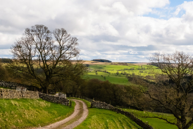
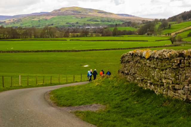
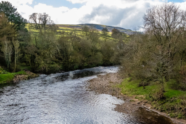
On a day which started off with sun and cloud but for which heavy rain showers were forecast, five of us left the coach at the quarry just north of Downholme Bridge. In fact 2 other groups also left there, but we let them move ahead and then the 3 groups went their separate ways. At Downholme Bridge, we crossed the R Swale and then where the road swung NW (Sour Nook), we turned slightly left (SW) and headed along a good firm track to Oxque Bridge during which we had good views of a mainly sunlit R Swale. Continuing SW, but climbing away from the river, we arrived at Low Oxque. Staying at this higher level, we continued SW before turning W towards Marrick Park. After passing some large fiercesome cattle in an adjacent field, we stopped at some rocks just E of Marrick Park for a coffee.
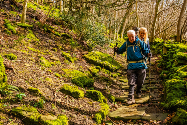
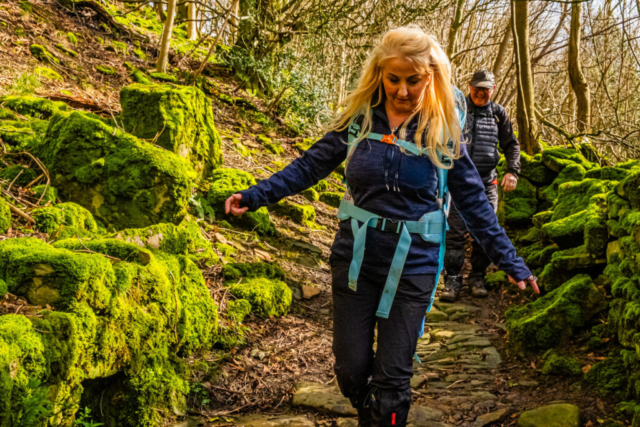
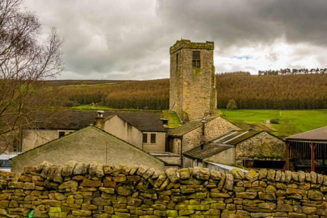
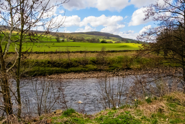
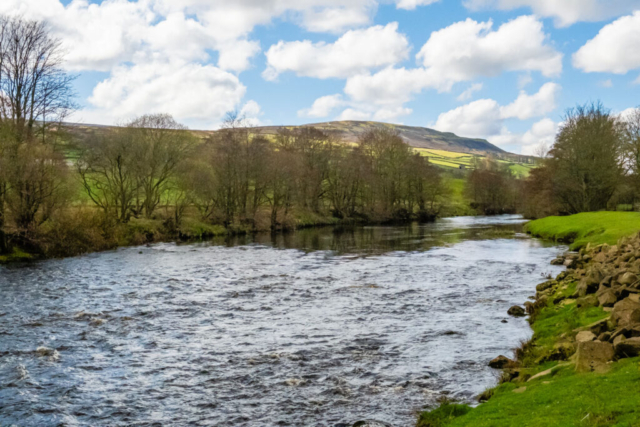
Leaving Marrick Park, we were gradually climbing again until we reached Helmsley House, the southern part of the hamlet of Marrick. Unfortunately the good track ended here for a while as we carefully made our way around a ruined building. Things got even worse when we reached Steps Wood. Passing Bill Milbourne’s group who were heading in the opposite direction, we were warned about the slippery descent through the wood. Sure enough, the wet greasy stones forming the steps were pretty lethal and we all took it very carefully as we descended. Reaching the bottom of the descent, we arrived at the remains of Marrick Priory (Benedictene Nunnery) which is now mainly a farm although the church appears to be intact. We were now on a decent tarmac road again and we made steady progress towards Grinton Bridge with a good view of a sunlit Calver Hill ahead of us. Just before Ewelop Hill, we left the road to join a footpath alongside the R Swale. This gave excellent views of the glistening sunlit river with High Harker Hill in the distance. Reaching Grinton Bridge, we saw several wooden seats in a grassy area below us, so we descended to the seats and ate our lunch.
After lunch, we crossed the bridge and turned onto a track next to the parish church. We decided to look in the church which was quite interesting as it appeared to be very much organised as a community centre as well as a religious centre. On leaving the church, I realised that I had left my walking poles at the lunch stop ca 250 yds back. Sharron, as the youngest member of the group, offered to go back for them and she soon returned with the poles. That saved me hardship when I returned home.
The track became a narrow path which climbed some steps onto a tarmac road. We headed W along the road, climbing up SW past Swale Hall and then heading W again. At Bleak House, we left the road on a grassy track skirting the Deer Park. The intention was to then head W to Maiden Castle, a 600 BC Iron Age fort, although the term “fort” and the age have been questioned. Reaching the point where the path was supposed to start, there was no evidence of a path so we ended up climbing a bit higher up the track and then joining what I suspected was the path leading to High Harker Hill. I nervously proceeded along this path keeping a close eye on my phone GPS. Sure enough it was heading uphill so when we arrived at a S-N path, I headed down to where the correct westwards path should be. Again, there was no evidence of a path so we headed back to the higher path and decided that there was evidence of a path continuing W. So we took this path and sure enough it ran roughly parallel to the path on the map but about 40 m to the south. After passing a path heading off SW, presumably to High Harker Hill, we continued W and soon we were above the long stone walls forming the entrance to Maiden Castle. Unfortunately, I discovered that my camera battery had failed and somehow my spare was at home, not in my bag, so no photos of the castle. In fact it was something of a disappointment as in the darkening sky, the grassy mounds (all that is left of the castle) were not clearly defined. As we passed the castle below us, we turned right down a steep descent past the castle and down to the road. After heading W along the road, we turned back by about 150 deg along a path close to but about 20 m above the R Swale. The path then followed the river ENE, eventually dropping to almost river level. The path then left the river before heading back to a footbridge. By this time, the clouds were blacker and we could start to feel a slight drizzle. I decided to shorten the route back into Reeth by heading E but we soon came to a FP closed notice. This meant we had to back-track onto my original route which took us W before heading E again. Anyhow, we arrived in Reeth in a slight drizzle but before the heavy rain which started later.
A scenic walk until after lunch, at which point the darkening sky and rough moorland spoilt the views.
To view the route, click on the adjacent file name 240328 Reeth


