12 – 03 – 24 CAUSEY ARCH

Distance 16.9 Km (10.5 miles) Ascent 206 m (676 ft) Average moving speed 4.14 Km/hr (2.57 mph) Start 9.33 am Finish 15.37 pm
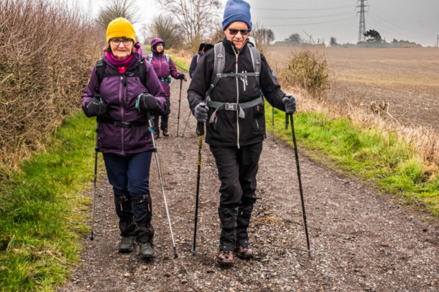
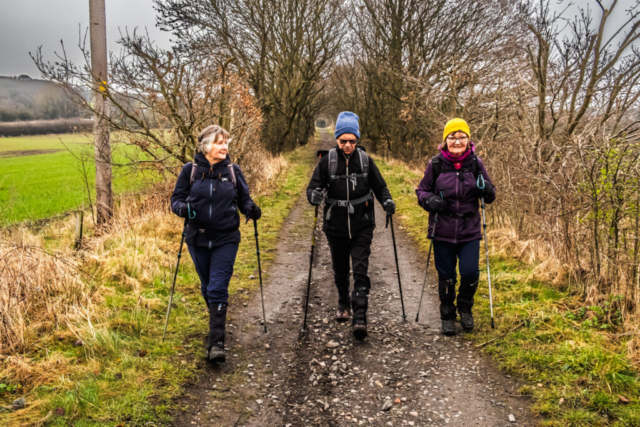
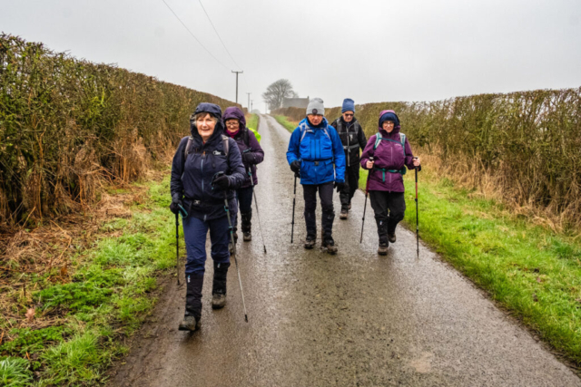
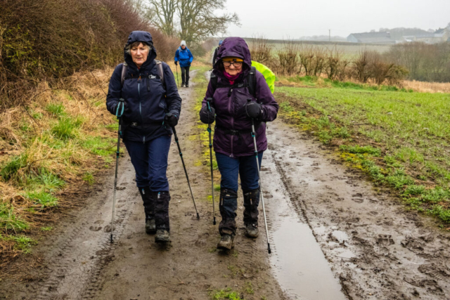
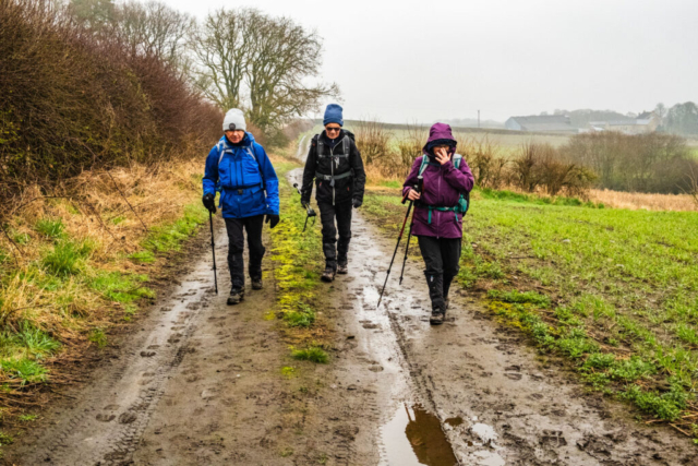
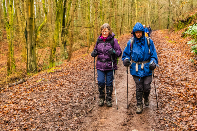
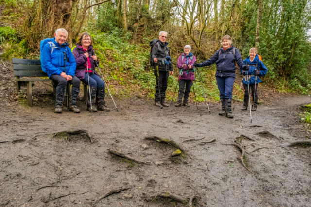
On yet another very overcast morning, seven of us left the coach opposite Ravensworth golf club on the B1296. We headed SSE towards Dunkirk on a decent track, so decent that I was in deep conversation and walked straight past the old railway line now the Tyne & Wear Heritage Way. So we backtracked the 100 m or so and joined the railway line which headed downhill in a WSW direction. The last time I walk along this track over 4 years ago, I seem to remember that it was a decent track. While it still provides good walking most of the way, it seems that the excessive rainfall we have had in recent months has washed away some of stones/grit in parts so that there is now a 6 – 12 in deep trench about 12 in wide zig-zagging down the centre of the track on the downhill section. While it is still certainly walkable, you do have to watch where you are going otherwise you could slip into the trench. The track heads under the A1 and then under the east coast main railway line. Just before the railway line, we had a good view of the Angel of the North. After crossing the River Teams, a small stream at this point, we began the uphill section of the line. Approaching the junction with Clarty Lane we had a coffee stop, not an ideal stop as there were no seats but it was the best we could do. While there, the anticipated rain started so it was on with our waterproofs.
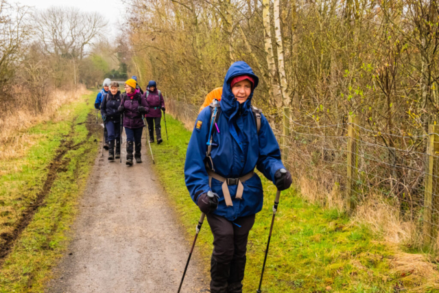
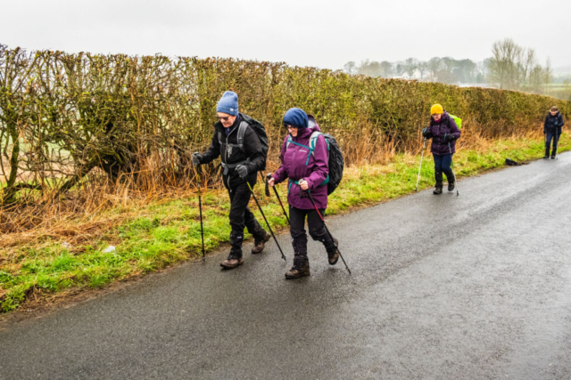
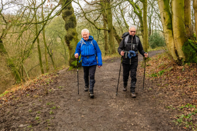
After passing Kibblesworth on our RHS, we left the railway, turning SSW on a damp, but not too muddy, path which brought us to Cooper House where we joined Riding Lane to head SE. Before reaching Riding Farm we turned off the road to the right and followed a very wet path alongside the edge of a field. At the end of the field we turned SE and headed down a steep descent to then cross the R Teams on a footbridge. This was the section of the walk which concerned me as I was not sure of the presence of a decent path. However, we then followed a fairly good path SW ending in a climb up to Urpeth North Farm. Joining a minor road heading south we then followed another road heading WSW over Urpeth Common. By this time the rain had stopped and we soon reached the bridge carrying the Consett & Sunderland Railway Path. After checking the 4 corners of the bridge we took what I felt was the least difficult climb up onto the bridge. Everyone made it safely except yours truly who ended up slipping into the mud. When we were all on the path, we headed W, thankful for a flat firm surface on which to walk. Opposite Beamish, we stopped under a road bridge for a well deserved snack.
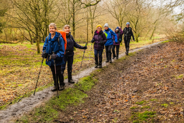
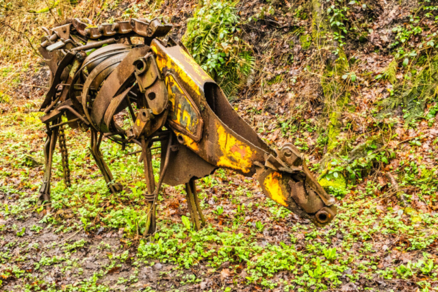
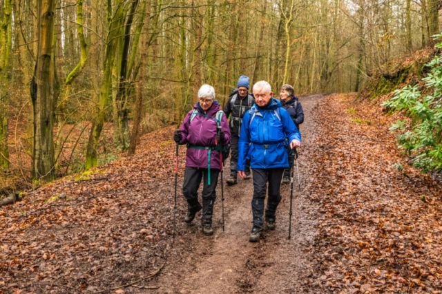
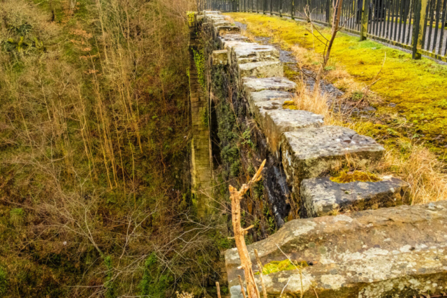
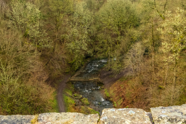
On our way again, we continued along the track, passing some farm animals made from pieces of metal machinery. A little further on, before the line swings SW, we left the old railway line and descended into Hellhole Wood. This was a reasonable descent except for the last couple of yards where we were on the level but faced with a large pool of water. Pleased to say we all made it across without getting wet. The walk through the wood and Carrickhill Wood which followed, was quite attractive with interesting trees and many fallen leaves on the side of the path. At the end of the wood, we crossed Beamishburn Road and then started a steep and very muddy climb which ended at Causey Rd next to a farm house. Great I thought, now that we are at the top, the path will be dryer and better. No such luck!! The narrow path bounded on both sides by wire fence or bushes was deep in mud and very slippy. However we managed to reach the road at the end without any accidents . Turning onto the road, we headed NW to East Tanfield station. As we we were in good time, I had promised the group that we could head to the station cafe and have an afternoon stop in comfort. However, the station and cafe were closed so we headed up Causey Gill, another attractive path which had the benefit of having a good surface. Reaching Causey Arch, I offered the option of heading down the steps to the Causey Burn and seeing the Arch from below. However, there were no takers so we continued over the Arch and then crossed the railway line to join Causey Rd and the nearby Causey Arch Inn – our destination.
Despite poor visibility and some rain, a reasonably interesting walk which was, with one major exception, on fairly good paths.
To view the route, click on the adjacent file name 240312 Causey
