06 – 03 – 24 DYKE NEUK

Distance 15.3 Km (8.7 miles) Ascent 185 m (606 ft) Average moving speed 4.17 Km/hr (2.59 mph) Start 9.53 am Finish 15.37 pm
Under the leadership of Ann, 8 of us left the coach at Grangemoor just east of Scots Gap. Under a heavy sky and with a slight drizzle, we headed north to the Harthope Burn. After crossing the burn, we continued north to the hamlet of Rothley having our morning coffee stop on the way.
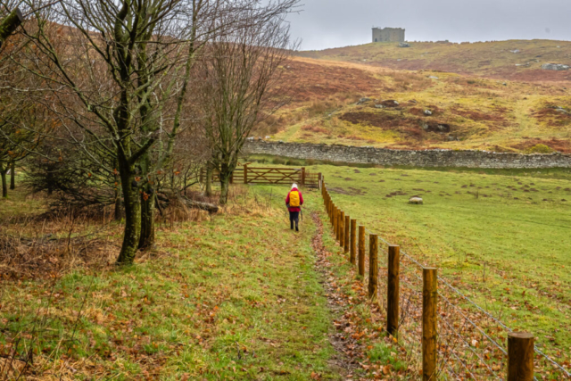
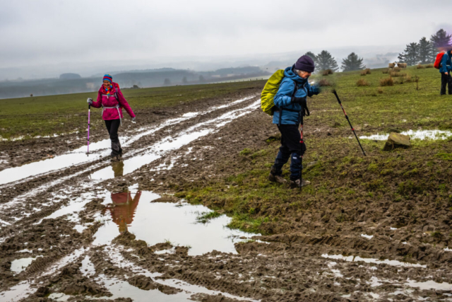
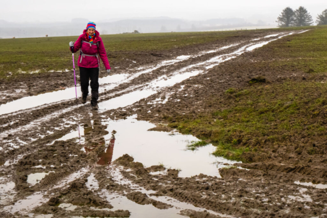
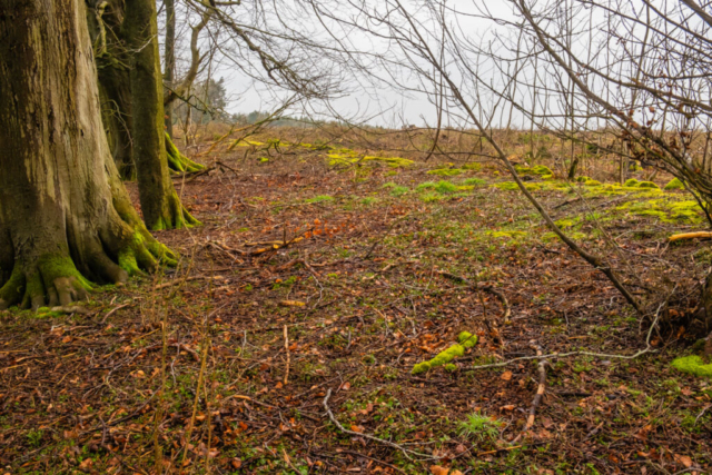
Rothley Crags and the castle (folly) came into view and as we approached the crags, we turned east to Rothley Park Farm. We by-passed the farm and continued ENE over some soggy ground to the East Strip wood. At least the drizzle had stopped although the sky was very grey. After passing through the wood we continued to Hill End Farm which was selling organic milk and after heading N and then NE we arrived at the north of Hill Top farm. Well, this looks “fun” we thought. We were faced with probably the worst mud we have seen this winter and, by gum, we have certainly seen some mud!! After somehow managing to pass though the mud without getting stuck, we were faced with horses in the field. However, we reached the end of the field without too much attention from the horses and then joined a minor road and headed SW to Longwitton. At Devils Elbow we left the road and continued E through a narrow strip of wood. Rough going but we came through unscathed although one of the group did fall but was uninjured. At Spencer’s Plantation we turned S and rejoined the road heading to Thornton Moor. On the way, at the bend in the road, we had our lunch stop adjacent to a small copse to keep out of the wind.
At Thornton Moor, we left the road and headed NNE to Coldlaw Wood. Initially we walked inside the strip of wood but then left the wood on the rhs and walked up the adjacent field which made for easier walking. Reaching the wood, we turned right (ESE) continuing to walk on the outside of the trees. However, halfway along, at a fence we went thro a gate into the wood and joined a reasonable path. At the end of the wood we turned right onto a minor road and headed S for just over 0.5 mile. At the T junction at the end of the road, we turned right and immediately after the second field boundary on the left we turned left into a field with a reasonable path heading SSE. After a slight climb to Prop Hill we descended past Needless Hall. At the Hall (farm), we continued S and after a short distance a car drew up and as I was the last guy in the group, the occupant started talking to me. He was a friendly farmer interested in where we were going and then the conversation got around to the weather. He reckoned it was the worst winter for rain he had experienced in all his years of farming. In addition, they were having problems in that they had stopped growing crops and are changing to sheep/cattle and environment subsidies due to the massive imports from Ukraine. At the end of the conversation, I had to hurry to catch up to the group who had decided to wait for me at the road junction at North Side. Here, we turned east and headed along the road to our destination, The Dyke Neuk, at Meldon Corner.
An interesting walk, particularly the earlier part, nearly all of which I had never walked before. However, I will certainly keep away from Hill Top farm on future walks unless we have had no rain for weeks. Thanks Ann.
To view the route, click on the adjacent file name 240306 Dyke Neuk


