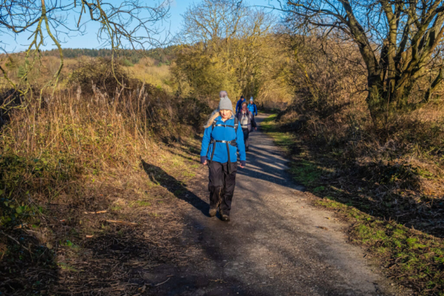
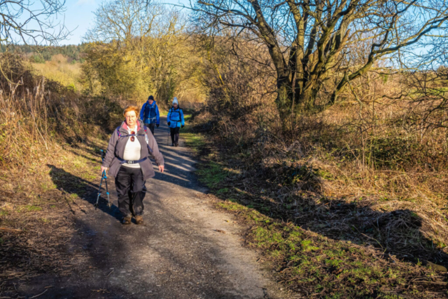
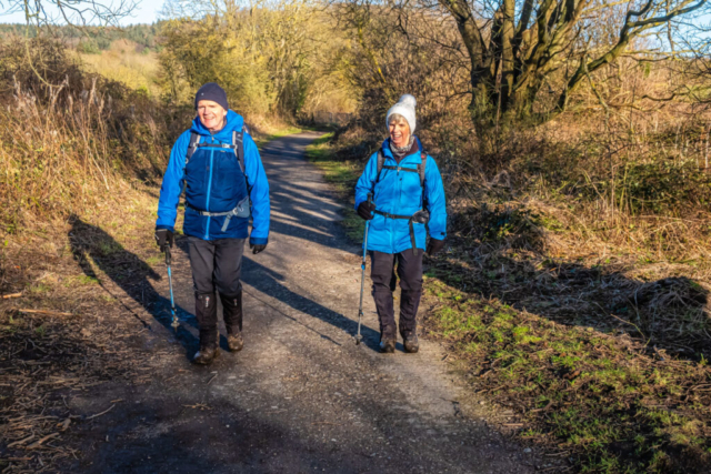
12 – 02 – 24 GUISBOROUGH

Distance 15.3 Km (9.5 miles) Ascent 450 m (1476 ft) Average moving speed 4.38 Km/hr (2.72 mph) Start 10.15 am Finish 15.48 pm
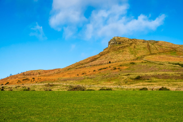
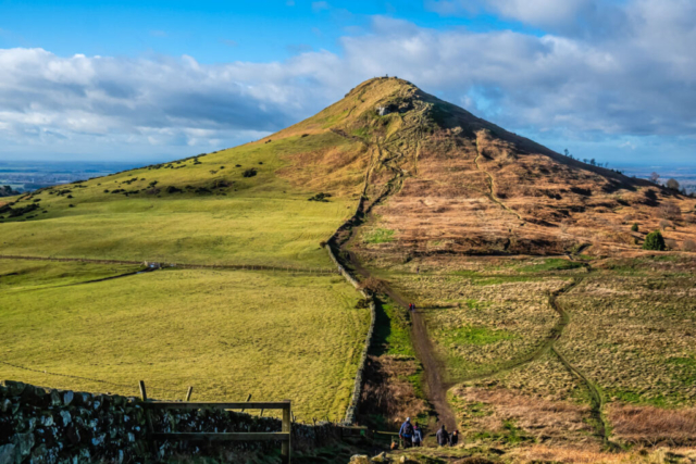
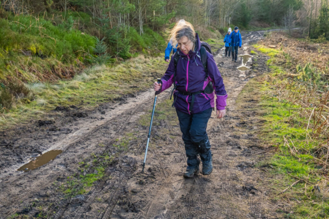
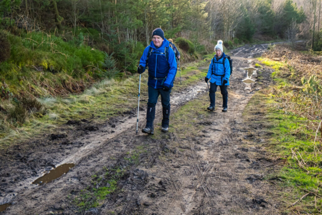
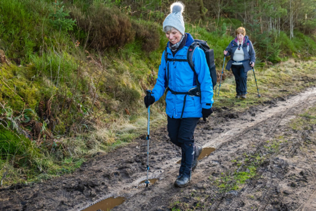
With a good forecast, we headed down towards Guisborough on the coach to be met by rain halfway to Great Ayton. Fortunately by the time we reached Great Ayton, the rain had stopped and by the time we left the coach just north of the town, the sun was trying to shine. Heading east from Quarry House, after a short distance we crossed the railway line and then headed into Cliff Ridge Wood. This proved to be a reasonably steep climb and it was good to reach the top. At the top we entered an open field where we had a good view of Roseberry Topping and we followed the RoW as it skirted around the edge of the field. Passing into a second field, we made our way to Aireyholme Farm along a rather muddy path as we approached the farm. Turning NNE immediately after the farm, we continued on a good farm track and then took the option of a nearby parallel grassy path. From the path, we had magnificent views of Roseberry Topping which was illuminated in full sunlight. Just before reaching Roseberry mines, we sat at the top of the bankside and had our morning coffee stop in full sun and glorious views to Captain Cooks monument and Great Ayton Moor.
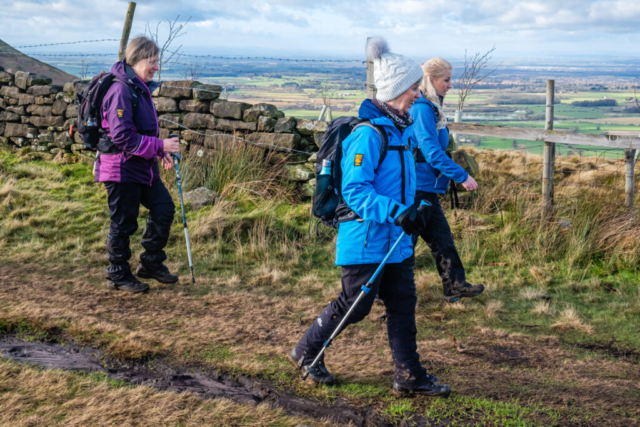
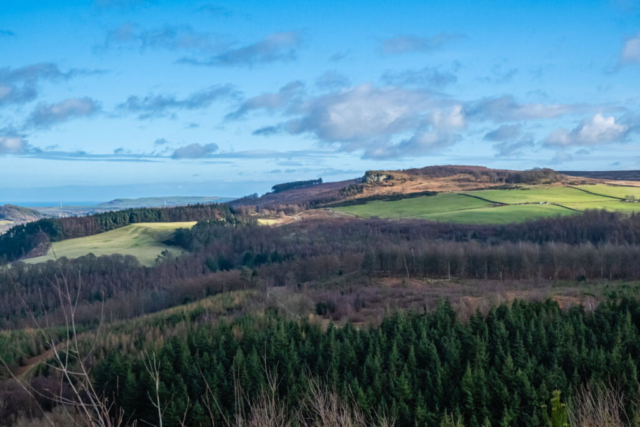
After coffee, we continued NNE to the Cleveland Way and then headed E up the stepped climb onto Newton Moor. After passing through the gate onto the moor, we turned NE on a reasonable path alongside the fence and headed towards the Hanging Stone. The first part of Hanging Stone Wood has been felled but as we passed along the narrow path between the trees on the latter part, we were suddenly met with a tremendous view of Guisborough with Redcar in the distance. The Hanging stone is so called as it juts out from the underlying cliffs which enables these views. Leaving the Hanging Stone, we took a more easterly return route to the Cleveland Way. Joining the Way just in front of Dave P’s group, we headed E, eventually allowing Dave’ group to overtake after delaying them to the amount of 1/2 pint in the pub. After passing Black Nab we had good views towards Hutton Village and Highcliff Nab. Approaching Highcliff Nab, because the wind had become strong and gusty, I looked for a sheltered depression which I had used a few years previously for a lunch spot. I found the spot, but it gave little shelter so we proceeded around the base of the Nab for lunch. Even sitting under the Nab which must be at least 20 m high and with rocks behind us and on both sides and the wind coming from the back, we still were not sheltered. However, we continued with lunch after deciding there was nothing better.
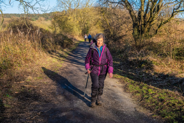
After lunch, we climbed to the top of the Nab, once again having excellent views, before heading E on a forest track. The track, which is now the Cleveland Way, winds thro what was once Guisborough Woods but most of the woods have now been felled. This part of the walk was generally easy with a mainly firm surface and few ups and downs although there were a few places where it was muddy and slippy. After crossing a footbridge over a burn, we entered Spa Wood, making a left (W) turn at the bottom of the descent, passing what is essentially a rubbish dump for old vehicles, to then join the disused railway line. Heading WSW along the line we found a seat so decided it was a good spot for an afternoon break as we had plenty of time. After the stop, we continued W along the railway line while looking up to the ridge which we had walked earlier. A short distance after crossing over a road, we turned north along a path which brought us out opposite the car park and the coach.
A good walk with good company and some excellent views.
To view the route, click on the adjacent file name 2430212 Guisborough


