31 – 01 – 24 EMBLETON

Distance 16.6 Km ( 10.3 miles) Ascent 200 m ( 656 ft) Average moving speed 4.17 Km/hr ( 2.59 mph) Start 10.01 am Finish 16.01 pm
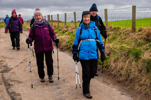
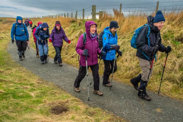
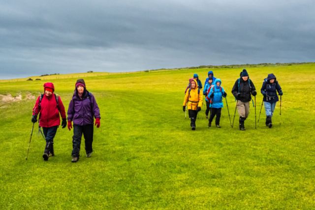
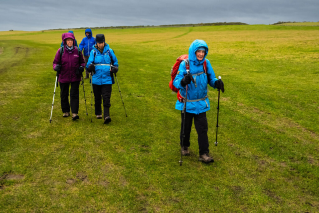
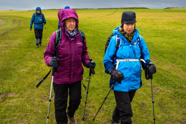
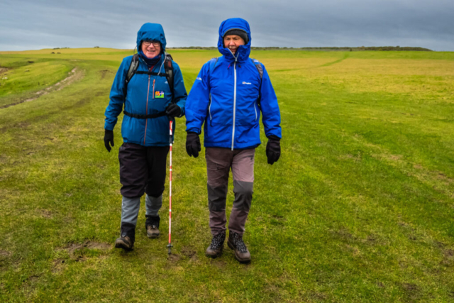
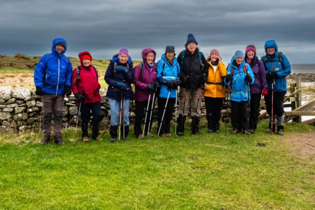
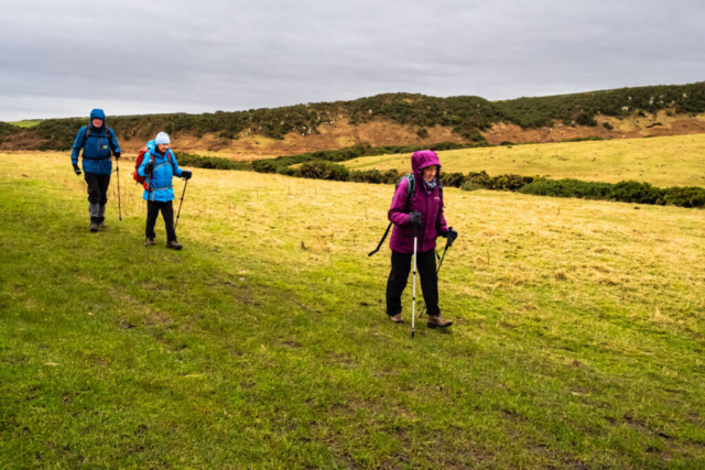
On an overcast very windy day, with rain forecast for the afternoon, eleven of us left the coach near the church in Longhoughton, crossed the road and headed ENE down the road towards Low Stead Farm. Passing thro the farm, we continued towards the sea. At the end of the road above Howdiemont Sands, we turned NNW on a track and headed past Sugar Sands. Both of these spots are popular with families during the summer months but today was not the weather for sunbathing or playing in the sand. Shortly after Sugar Sands, we dropped down to cross a footbridge over Howick Burn. A couple of us bemoaned the fact that you can no longer use the footpath alongside the burn which leads to Howick Hall, originally the home of the Grey family, including Prime Minister Charles, 2nd Earl Grey. From Howick Burn, we took the footpath off to the right of the main track. This is a reasonable path which heads along the top of the cliff offering a more attractive view. Opposite the hamlet of Sea Houses and next to Rumbling Kern we took a narrow path down to a sheltered sandy cove. This was ideal for our morning coffee stop.
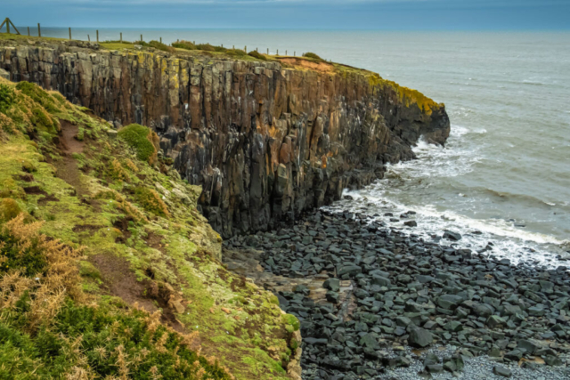
After coffee, we climbed back to the main footpath which is a firm gravel path and headed N passing the old Bathing House on our right hand side. Originally built by the 2nd Earl Grey to allow supervised bathing of his 16 children it has more recently been used in at least two television series. Continuing north, Cullernose Point came into view. This is an example of the whin sill stretching out into the sea. This is a popular spot for Kittiwakes in the summer. They are just birds to me, but Ann informed me they are kittiwakes. After passing the Point, we were walking on grass and the recent heavy rain meant that it was rather muddy and slippery which meant walking was not easy, particularly in the strong SW wind which was blowing us towards the rocks. However, we survived this area and made our way to Craster. This was to be our lunch spot but where to sit, was it to be on the seats facing the harbour but open to the wind, or should we look for a more sheltered spot. We decided to use the seats as usual and actually the wind was not too bad.
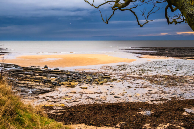
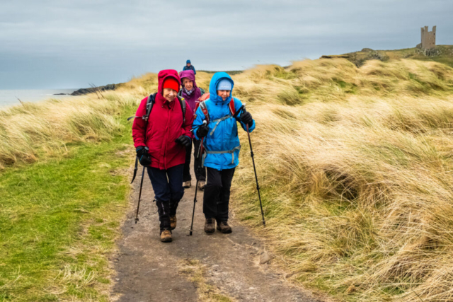
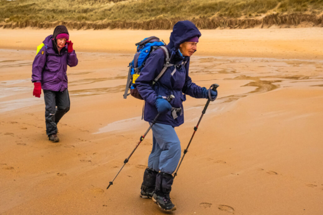
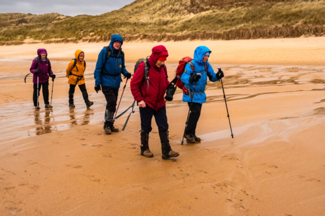
After lunch we were on our way again, heading for Dunstanburgh Castle, once again on a rather soggy grassy surface. On the many occasions I have walked this route, I have never known this area to be so wet. After a photo stop, it was agreed that we would take the lower path past the castle and so we headed to Rumble Churn where there is another excellent example of the whin sill with the castle using this as a defence. Proceeding NW, we then dropped down a steepish path, crossed some rocks, to arrive on the beach of Embleton Bay. This made for easy going as the tide was out and we kept to the hard sand which had a thin film of water on it in most areas. Although I intended to continue up the beach, just prior to the point where the Embleton Burn crosses the sands, we cut through the sand dunes, crossed a footbridge over the burn and headed towards our final destination of the golf club. This was to allow for a toilet stop and for those suffering from the windy conditions, an opportunity to shorten the walk.
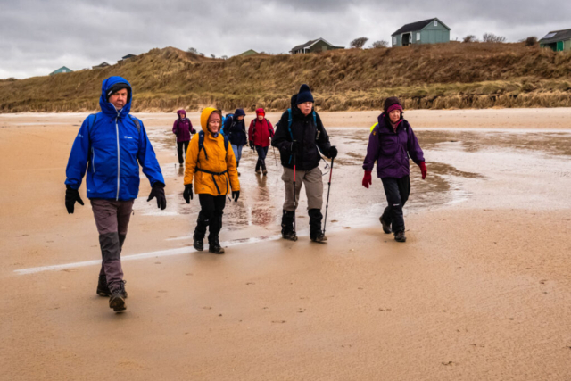
After this short stop, 9 of us proceeded to follow the NW bank of the burn back onto the beach. By now the wind was much stronger and we were grateful it was at our backs although we were aware that we had to return to the golf club with the wind in our faces. Anyhow, we continued up the beach, rounded the headland opposite Emblestone rocks and made our way to Low Newton. As we had already made an extra loop in going to the golf club, the group agreed we should omit the loop to Newton Point, aware that we had to return to the golf club with the wind in our faces. It was also agreed that a visit to the Ship Inn in Low Newton would be ideal for a refreshment break so we duly descended on the pub and spent a good half hour in the warmth and out of the wind. Leaving the pub, we headed round to the path at the back of the pub and made our way SSE past Risemoor Cottage and the nature reserve. While this was relatively sheltered, we then entered Embleton Links where we felt the full force of the SW wind in our faces. The path through the links brought us back to the golf course and we made our way to the club house to end our walk with more refreshments.
What is a very scenic walk in good weather was spoilt somewhat by the conditions although the forecasted rain did not materialise. However, it is always a pleasure to walk the Northumberland coast.
To view the route, click on the adjacent file name 240131 Embleton
