2 – 1 – 24 Foxton (Alnmouth)

Distance 17.4 Km (10.8 miles) Ascent 219 m (718 ft) Average moving speed 4.21 Km/hr (2.62 mph) Start 9.49 am Finish 15.26pm
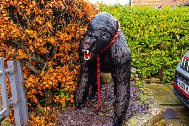
On a murky morning but with little wind and reasonably mild for January, 13 of us alighted the coach on the Amble – Warkworth road just before the entrance to Amble marina. Ann Brown was leading the walk and she lead us to the marina. At this point she stepped aside to allow a car to pass and as we reached the R Coquet some of the leading group turned right – you would have thought that these experienced walkers would have known to turn north if we were heading to Alnmouth. Anyhow, Ann kept them right and we headed on the path alongside the R Coquet. This brought us to the pavement at the side of the Warkworth road. However, just before we reached the road, we were very surprised at the amount of seaweed, branches, tree trunks, washed up on the river bank. We proceeded to Warkworth along the pavement, frequently watching the river on our right hand side, a river which was swollen and quite discoloured due to all the recent rain. Arriving at Warkworth we turned right towards the town passing the gorilla on our right and the castle on our left. Instead of heading for the main street, we went straight ahead at the left turn, descended the hill between the two rows of houses and arrived at a wall separating us from the river. An ideal spot for our morning coffee.
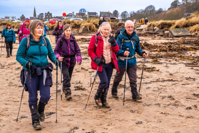
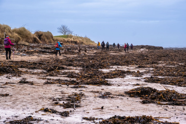
After the coffee stop, we continued alongside the river until we reached the bridge across the river. Immediately after the bridge we turned right, climbed up the road and made our way past the entrances to the golf club on one side and the caravan site on the other and continued on a track towards the beach. On arriving at the beach, we made our way towards the firm sand and turned northwards. Once again, there were signs of seaweed etc. washed up on the beach by the recent stormy seas. After about 2.5 Km, reaching Buston Links, we turned into the dunes and made our way south on St Oswalds Way only to find that the RoW heading W was totally impassable and therefore we did an about turn, headed N on the decent St Oswald’s Way path before turning W to head up the gravelly/stony track towards the A1068. A short walk S on the tarmac path beside the road and then we crossed the road onto the MR leading to High Buston. This was to be our lunch stop, so we sat on a wall and enjoyed our lunch under a brightening sky with glimpses of sunshine.
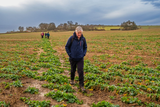
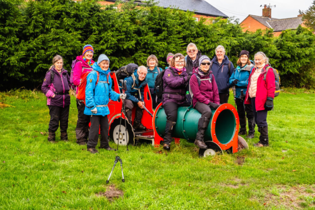
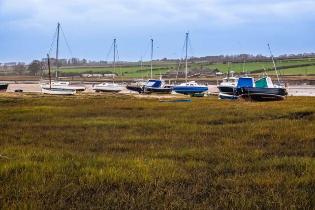
The next sections of the walk had caused Ann some concern as it involved walking mainly on paths across fields. However, leaving High Buston and heading NE across a huge field, it was only really sodden in a few places. Similarly the next field which brought us to Wooden Farm was not too bad. From the farm, we headed W, NW then N again across fields. The fields were sodden in places and you had to watch where you were going but we arrived at Hipsburn without any major problems. Just before the village we came across a children’s playground, so some of the “children” in the group tried some of the equipment before everyone had a sit on the railway engine for a photo. We then turned eastwards down the road leading into Alnmouth. On the way, Ann asked whether people wished to go straight into Alnmouth or take the route via the river bank. The majority were in favour of the river bank so after crossing the road bridge over the R Aln we descended the steps and made our way through mud and pools of water along the river bank. In Alnmouth we stopped at the toilets and then headed down to the beach under a darkening sky. Although there was an incoming tide there was still plenty of firm sand to walk along so we made our way along to Marden Rocks where we found that the rough seas had deposited more seaweed etc but also stones and small rocks. I have walked this beach many times and although you sometimes had to zig-zag around rocks and stones, I have never seen it so bad. Therefore, on this occasion, particularly as the light was not good, Ann decided to head up to the path around the edge of the golf course and so we made our way along the muddy path to reach the club house which we had booked. A nice spot to finish an enjoyable walk even if the weather was not great. Thanks Ann.
To view the route, click on the adjacent file name 240102


