09 – 01 – 23 WELDON BRIDGE

Distance 16.8 Km (10.4 miles) Ascent 297 m (975 ft) Average moving speed 3.89 Km/hr (2.42 mph) Start 10.02 am Finish 16.04 pm
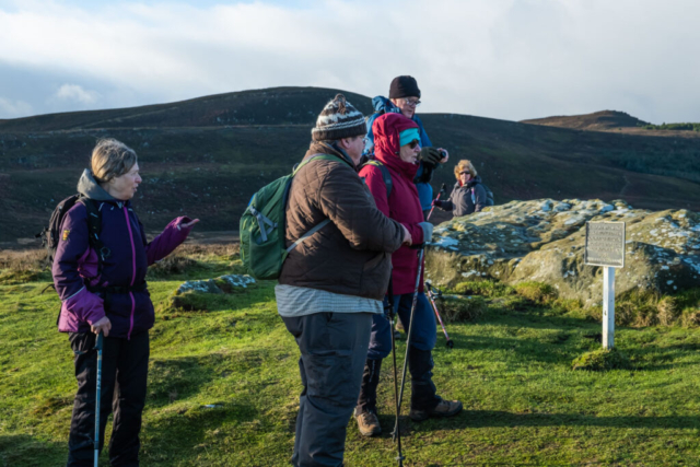
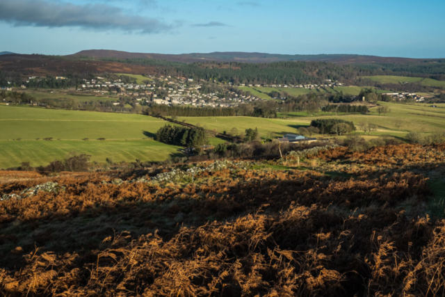
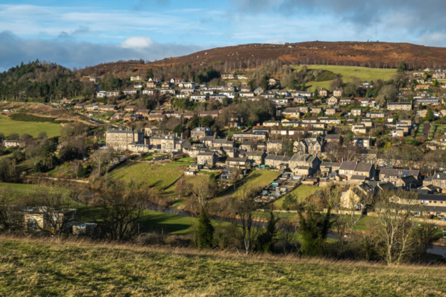
Alighting from the coaches on the B6342 to the east of Lordenshaw on a bright sunny day, we headed west across a soggy grassy path. Arriving at Lordenshaw Farm, Heinrich, our walks leader, suggested a coffee stop in the lee of a wall to escape from the quite strong wind. Coffee over, we headed to the the forestry road and then turned NW towards the car park frequently used by walkers heading for the Simonside Ridge. A short stop near the car park to look at some of the cup and ring markings on the nearby rock and then we set off on a slight climb up a nice grassy path in a northerly direction past an ancient British fort. Reaching the top of the hill, we had an excellent view of Rothbury, the Coquet valley and in the distance, The Cheviots.
Continuing north, we descended to Whitton Dean, joined Hillhead Rd and proceeded past Sharpe’s folly (a tower) on our left and made our way downhill on the rough road to Whitton Farm and then down over a field to join a road to Rothbury Bridge. Heading east past the bridge, we passed the swimming pool and then joined the track of the dismantled Morpeth – Rothbury railway line. This path, which I have walked on a number of occasions, is interesting in that in several places it passes through gorges which have been blasted out of the rocks. While offering good protection against the wind which had been strong up on the moors, it did have the disadvantage of allowing water to settle on the floor of the gorge so circumventing the pools of water was a problem and sometimes it was easier to plodge. Around Wagtail Farm, the surroundings opened up for a short distance but then there were more gorges and the resulting wet underfoot. While a few years ago, you could continue along the line towards the point where it swings SW, the path has now been closed and we had to head across the fields, past the ruined cottage of Craghead and on to West Raw,
Reaching West Raw at 1.00 pm we looked for somewhere to have our lunch, but there was nowhere suitable out of the wind which was blowing strongly again. Where the track joined a tarmac road, we left St Oswald’s Way and continued on the road. A little further along the road, we arrived at Butterknowes and its resident flock of very noisy geese. There was a table and forms there, so despite the noise, Heinrich sought permission at the farm and we sat down and enjoyed our lunch. On the move again after lunch, we headed SE along the road to East Raw. Heinrich then advised that he would see if we could cross the Bog Burn although because of all the recent rain that was questionable. So we headed down a steep rough track but when we got a good look at the burn it was obviously a non-starter. So back up the track onto the road where a car pulled up and the lady driver asked if we had seen a dead or injured sheep on our travels. Evidently it was a bit of a pet but had been missing for several days. We confirmed that we had not seen anything and then proceeded to head NE on the road which descended to the Bog Burn. Crossing the burn by the road bridge, we began the climb up the road on the south side of the burn, stopping at the bend for a group photo.
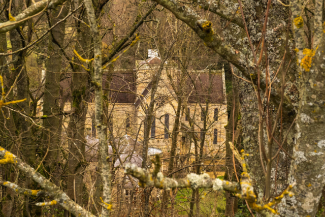
Just before the farm of Bushygap, we joined a footpath heading SE across the field. We continued E along a farm road towards Thorneyhaugh where we rejoined St Oswald’s Way. The Way then descended across fields to the Maglin Burn where we crossed a footbridge and then made a fairly steep climb up the SE bank heading E to Middleheugh. The Way then brought us to the Coquet Valley and a little further on, through the trees, we were able to see Brinkburn Priory below us on the other (N) side of the valley. Continuing across the fields on St Oswald’s Way, we headed through Brinkheugh. By this time it was beginning to get a bit darker as dusk approached, the sky had by now been completely covered by cloud. Winding our way generally eastwards along minor roads and across fields following St Oswald’s Way, we descended to the banks of the R Coquet and so began a very muddy and at times slippery last few hundred metres to Weldon Bridge. Fortunately there were no accidents and we arrived at the bridge to find my name on a plaque on the bridge. Unfortunately the J was in the wrong place, it should have been between the Peter and Bell and even after 11 miles I am still alive – just (See final photo). Therefore the plaque was not for me.
An enjoyable walk, particularly the first half when the lighting and the scenery were excellent.,
To view the route, click on the adjacent file name 230109 Weldon Bridge















I just love your photos & walk descriptions 🥾🥾