Distance 17.2 Km (10.7 miles) Ascent 126 m ( 413 ft) Average moving speed 2.63 mph Start 10.05 am Finish 3.46 pm
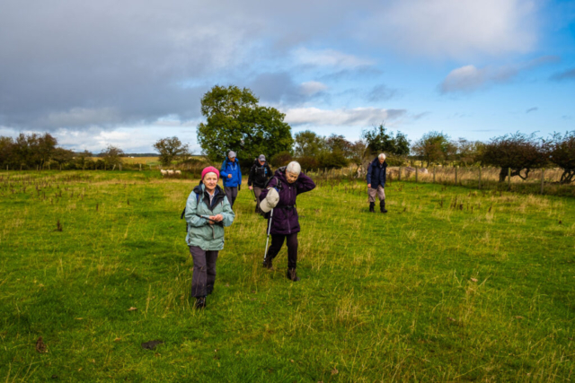
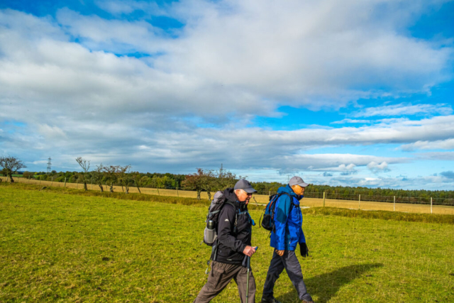
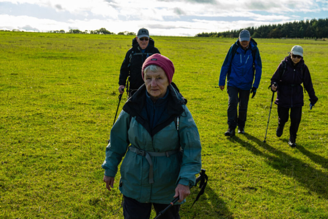
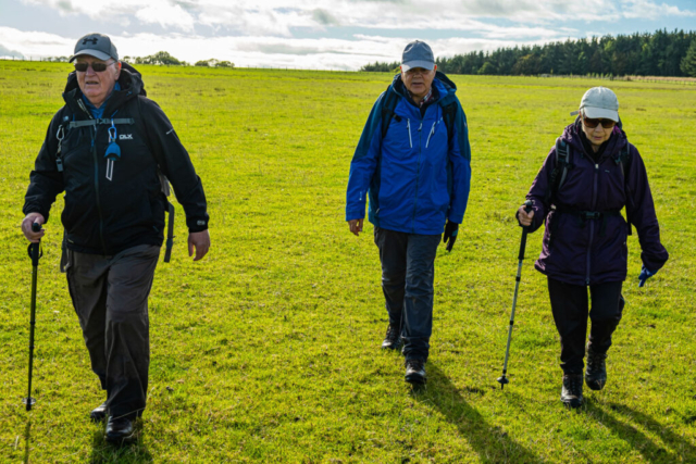
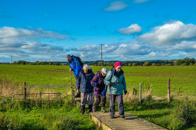
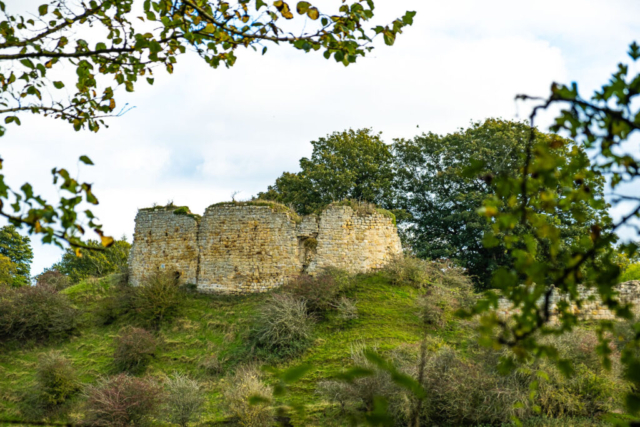
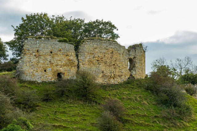
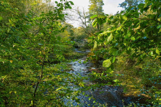
Leaving the coach at Temple Thornton, east of Hartburn, we navigated our way through the farm and then headed south to Bluebell Wood, not that there were any bluebells to be seen in late October. We then crossed the Hartburn on a reasonable footbridge before continuing south to the Pow burn. Although not very wide, there were steep banks on either side and the footbridge was broken, what were we to do? Fortunately “walks memory man” Jeff was with us and he remembered heading a little way east where there was a bridge for tractors. So following Jeff’s directions, we crossed the stream and headed back west just as the rain started. I then decided that the nearby Poorskye Plantation was a sheltered spot where we could have an early lunch mainly sheltered from the rain. After lunch, with the rain stopped and the clouds breaking, we headed south to Howlett Hall and I am pleased to say there was no “mud” unlike my previous visit. From the Hall we continued SSE, crossed the dismantled railway and then turned east to join the track of the old line. We were only on this for a short distance before heading S to a road and then following the road through a couple of bends followed by taking a track to Penny Hill farm. At the east side of the farm is a RoW heading N back to the dismantled railway. However, on reaching the railway, we found the gate padlocked even though we had joined the railway here on several occasions in previous years. So back-tracking, we headed to Molesden plantation meeting Rob’s group on the way. Leaving them to have a birthday lunch, we once again headed to the railway and this time were able to join the track where we stopped for our lunch. After lunch we headed E along the line which is now becoming slightly overgrown. After <1Km we left the line and took a path NE to Molesden. Following the road eastwards from Molesden we then headed E and then NE across fields and a couple of streams eventually reaching the minor road which passes Mitford Church and Castle. Leaving the road, we dropped down into the woods beside the R Wansbeck and had an afternoon stop. As we prepared to leave, Rob’s group passed us having had an extended lunch – surprised they were still able to walk!!! Footpaths then took us eastwards to the riverside and following the river over the footbridge to the Weatherspoons – our destination. An interesting walk with a couple of unavoidable detours increasing our mileage slightly.
To view the route, click on the adjacent file name 211022 Morpeth
