19.5 Km (12.1 mile) NEGLIGIBLE ASCENT Start 10.08 Finish 15.52 Ave moving speed 2.86 mph
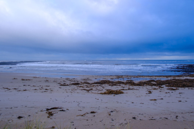
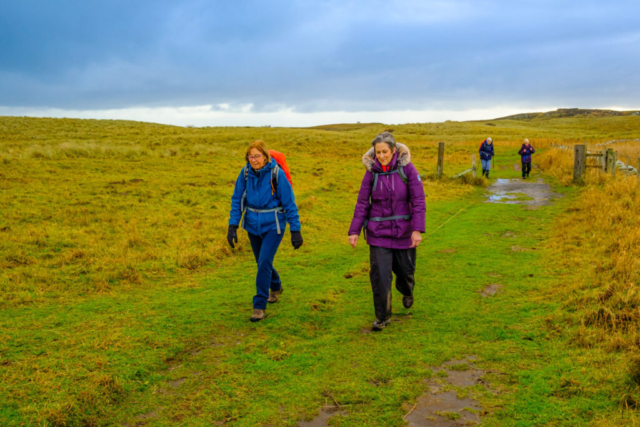
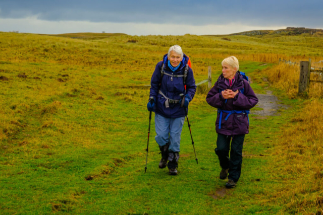
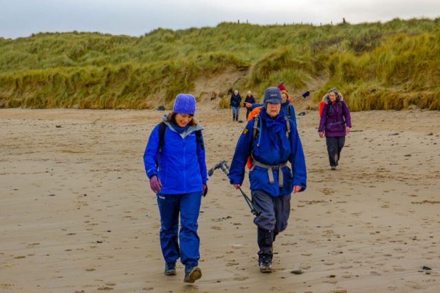
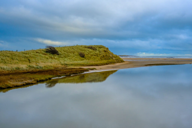
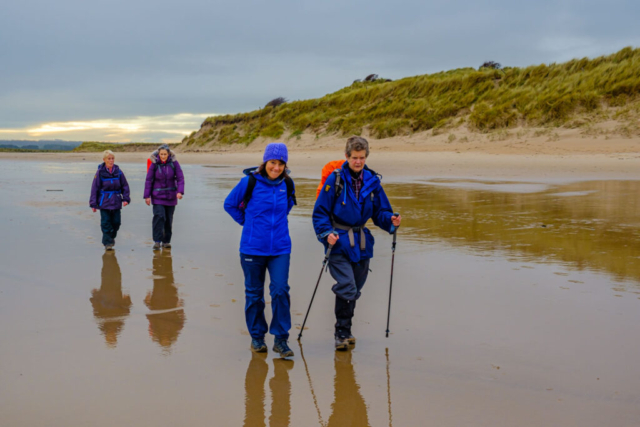
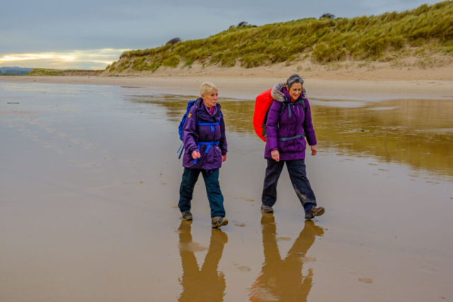
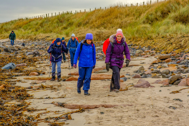
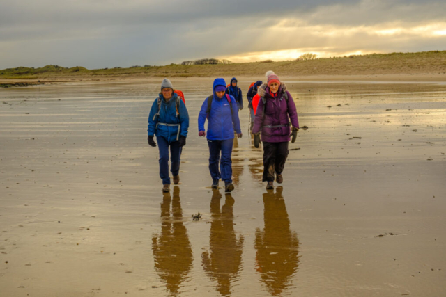
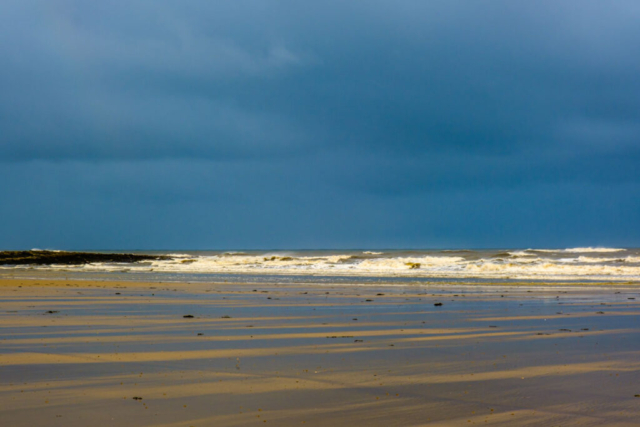
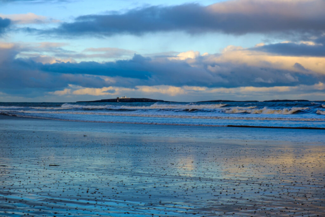
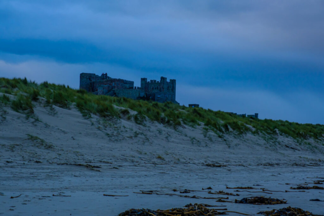
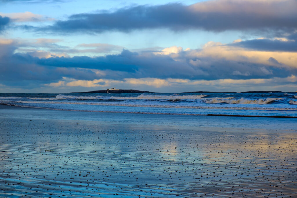
Seven of us left the coach on the B1340, WSW of High Newton, together with two other groups on a mainly overcast day. As we approached High Newton, the two other groups continued along the road while we headed east to the beach at Football Hole. Finding a suitable spot in the sand dunes we had our coffee stop. Coffee over, we made our way back over the dunes to St Oswalds Way (Northumberland Coast Path) which we followed for about 0.5 Km before heading back to the beach. With the tide right out, there was plenty of hard sand to walk along although in places there was a thin film of water on top of the sand. As we walked up the beach, I had a phone call from one of the other groups warning us that the Long Nanny south of Beadnell was impassible on the beach due to the amount of water flowing into the sea. This is a rare occurrence as we have been able to walk through it on many previous occasions. However, as we approached, it was obvious that on this occasion we would need to cut inland to the footbridge. After crossing the stream via the bridge, we headed back to the beach and made for Beadnell Harbour. It had been my intention to have an early lunch in the lime kiln as on many previous occasions but this time we decided not to (or at least Angie did) as the kiln was rather smelly. Undeterred, we left the harbour and continued NW until we reached the village green where we had the comfort of table and seats for our lunch stop. After lunch it was back onto the beach again, heading for Seahouses. We made good time over the hard sand until just south of North Sunderland Point. Here, the Annstead Burn flows into the sea. This has never caused a problem in previous years but this time there was no way across. About 1/3 of the way across it was almost over my boots, the rest of the group would certainly have had wet feet at that point. So, once again it was a case of heading inland, this time to the road where we crossed the burn and then turned right on a footpath just past the golf club house. This took us back onto the beach on the north side of the burn and we were then able to climb up onto North Sunderland Point. As we made our way onto the golf course, the cloud started breaking and we were met by a rainbow. After crossing the golf course following the RoW posts and passing the caravan site we made our way to the harbour with the rainbow still partly visible. A short stretch on the pavement next to the B1340 and then it was on a footpath and onto the beach again. At Monk House, once again we had to leave the beach as the Ingram Burn crossing the beach was too deep to cross without getting wet feet. First time ever that I have had to go onto the road at this point. Back on the beach we headed towards Bamburgh Castle with the sky becoming rather dark again. Level with the castle Angie & Anne said they were going to go straight into Bamburgh rather than do the loop up to Budle Bay. They had obviously felt the rain sooner than me as no sooner had they said this and I called the group to a halt, the rain started and within a minute or so was becoming heavy. When asked the question, all the group agreed to head over the dunes and to the buses. As we approached the buses, the rain became heavier, we had made the correct decision.
Click here to open the map of our route 211208 Bamburgh
