14.2 Miles Ascent 1092 Ft Average moving speed 2.78 mph
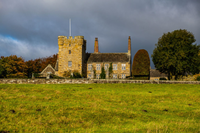
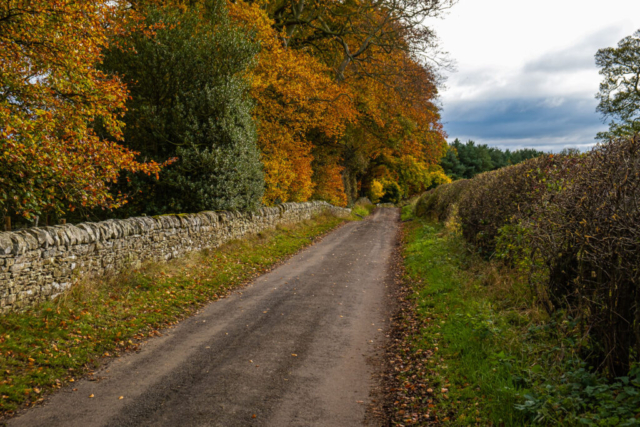
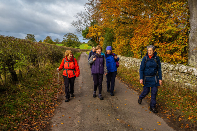
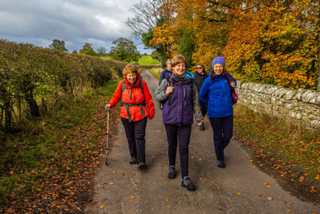
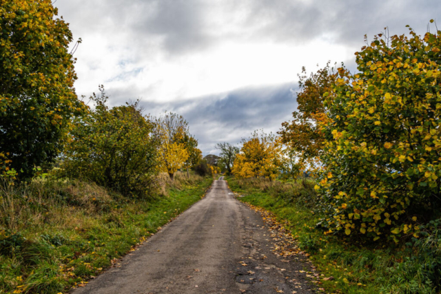
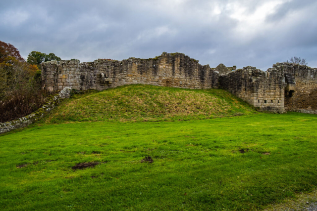
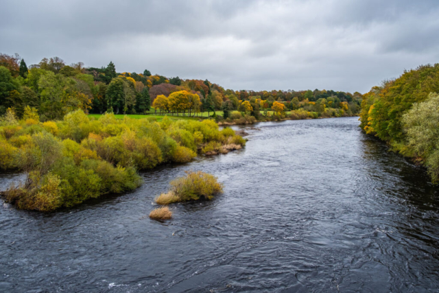
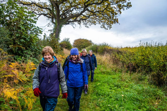
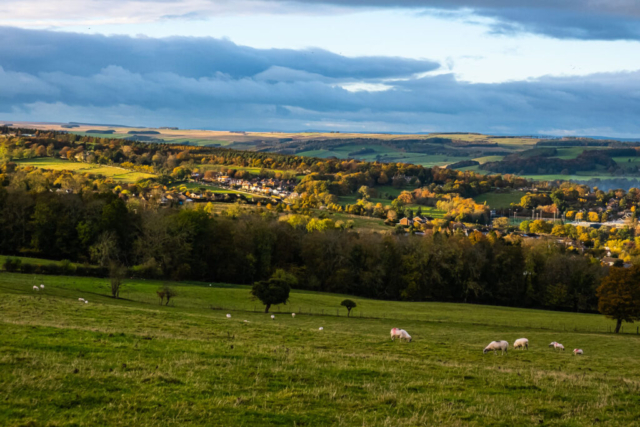
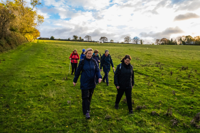
Starting our walk at the junction of the B6318 and the B6321, 7 of us together with two other groups crossed a “stile” and headed westwards along the edge of the field. Unfortunately at the end of the field the exit had been blocked up (unacceptable as this is part of Hadrian’s Way). Anyhow, we all managed to climb over the barbed wire fence – my pipe insulation coming in useful. We continued westwards along the B6318 (Military Rd) until a copse just before Halton Red House. We then cut across afield to a minor road leading to Halton. Just south of Halton we had a coffee stop while admiring the castle and gardens. On our way again we proceeded southwards to Aydon Castle. Our route then took us down into the dene formed by the Coe Burn and after climbing out of the dene we made our way WSW to join a minor road heading into Corbridge. This road went under the busy A69 although en-route I had kidded the group that we would need to sprint across the A69. Most of the group may have been able to do it but I doubt I could these days. We then made our way by road into Corbridge where we used table and chairs to have our lunch. As we were finishing lunch , the threatened rain materialised so we hurriedly put on waterproofs before we left the seats. After lunch we crossed the R Tyne and then proceeded around Dilston Haughs. With the recent rain I expected the Devils Water to be flowing very fast but in fact it wasn’t. Our route then took us up past Physic Garden and the long but not too steep climb up to Park Wood. As usual, Park Wood required some nimble footwork to avoid the extensive muddy bits but we reached the better track to Dukes House without mishap. Unfortunately our route was not to takes us along this track past Dukes House but instead we turned southwards heading towards Devils Water. The woods were quite scenic with most of the trees still holding on to their autumn leaves. Reaching the top of the drop into Devils Water we turned west, considered descending down a steep path to the gorge below us but thought better of it and turned NW through Dukeshouse Wood to exit the woods at Coalpits Flat. After heading a short distance SE down the B6306, we turned W along a minor road which gave us good views looking down on Hexham. After Black House, in late afternoon sunshine, we left the road and headed downhill through a couple of fields, past a row of houses to exit at Wydon reservoir. After leaving the reservoir, we headed E for the dene formed by the Wydon Burn and after proceeding N through the dene we arrived in the centre of Hexham and proceeded to Weatherspoons. A mixed day weatherwise, but overall a reasonable walk.
Click on link to view map of route taken 211103 Hexham
