11.8 MILES, 1460 ft OF ASCENT, AVE MOVING SPEED 2.81 MPH
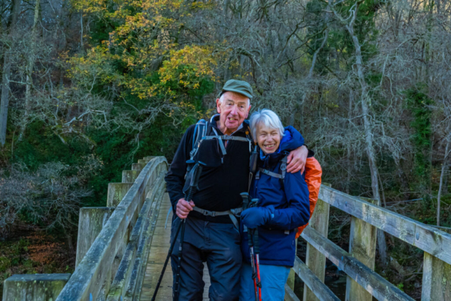
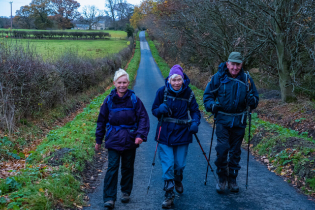
Off to a bad start, Proceeding along the Military Rd (B 6318) in a good time, we came across a road closure. A detour via Corbridge, A 69 and Wall lost us about 10 minutes. After our first couple of drop-offs we turned from the B 6318 onto the B 6319 and shortly after, on a narrow downhill stretch, came upon a lorry whose front end was stuck in a hedge with the back end right across the narrow road. After about 20 min and the arrival of 2 police cars and a farmer with a dumper truck, the dumper managed to push the back end of the lorry into the hedge thus clearing the road to allow our coaches to pass. However, we had lost about 25 minutes in total so I was already thinking of which short cut to take. Anyhow, off we went, heading southwards over a slightly slippery footbridge and then ESE thro a wood and then along a minor road to Beltingham. In Beltingham churchyard, we stopped momentarily to see the 900 year old yew tree and graves of members of the Bowes-Lyon family, the late Queen Mother being the most famous of the family.
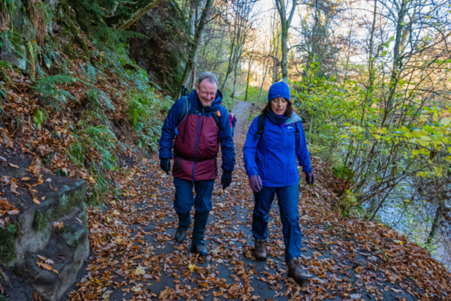
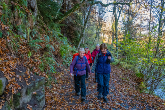
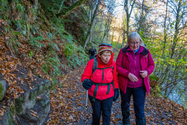
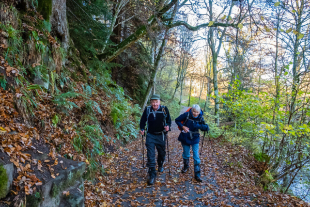
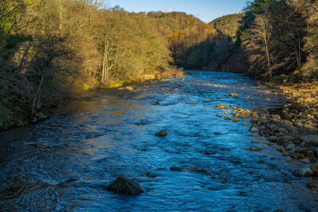
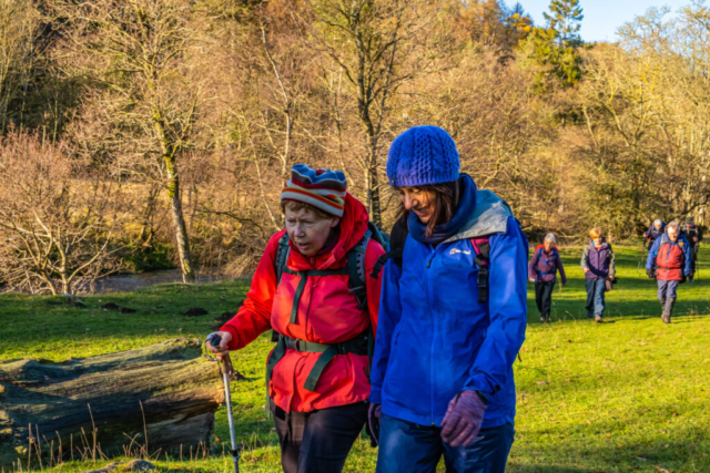
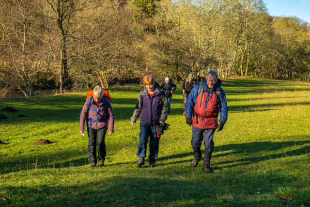
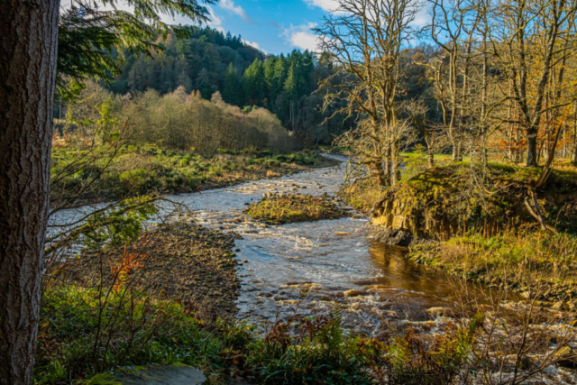
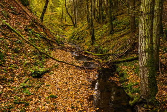
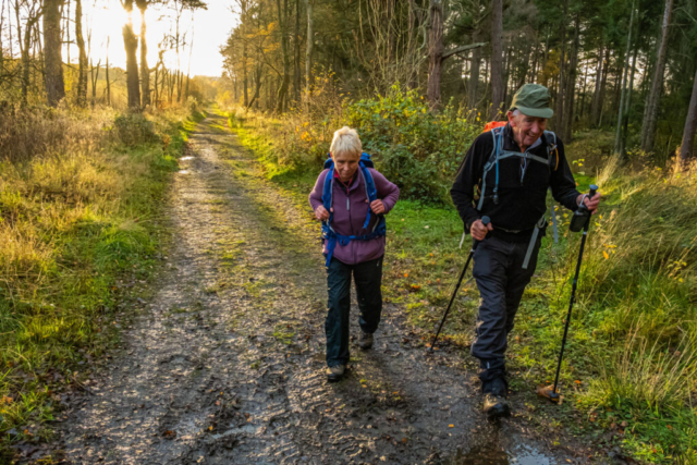
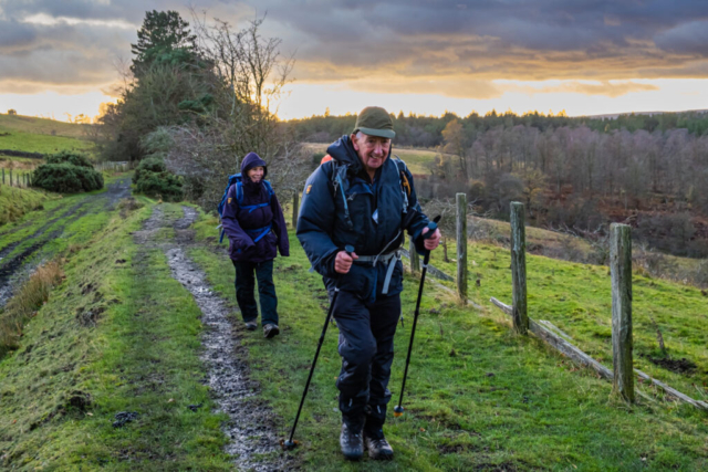
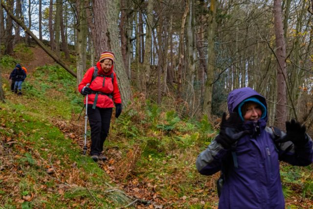
Leaving Beltingham, we headed NE to the Allen Banks car park where we had a coffee stop. On our way again, we headed south on a decent path along the west bank of the River Allen, through Allen Banks to Plankey Mill. There were still some coloured leaves on the trees, plenty of leaves on the path and with the sun glistening off the fast flowing river it made for attractive scenery. At Plankey Mill, we crossed the new footbridge which has replaced the suspension bridge seriously damaged a few years ago. Continuing south over fields, but now on the west bank of the river, we then proceeded on a slightly undulating path and then, after crossing a footbridge, we left the river and started climbing up a mainly stepped path towards the remains of Staward Peel. I must confess this climb took more out of me that I would have expected, I need more excercise!! Anyhow, on reaching the top, we stopped for a few minutes to look at the stone remains of the peel tower while I read out some background history of this C13 construction. Continuing along the top of the ridge with steep drops either side, after leaving the wood we entered a very pleasant pasture and with the sun shining, we sat against a wall and had lunch. Lunch over, we crossed the pasture, passed through a stile into the wood and then descended to the Harsondale Burn. This was a fairly steep and slippy descent but we all made it safely. Crossing the burn on a footbridge we then ascended the north side of the valley but this was a relatively easy climb as the path made its way diagonally upwards. Leaving the valley and wood, we headed north to Harsondale. I had decided that this should be a shortcut to make up for the time lost on the coach. Accordingly, I headed eastward along a farm road rather than continuing north to Sillyrea. Unfortunately, at the end of this road, in my mind I was still on my original route and as I was talking (surprise, surprise!!) and not looking at my GPS, we ended up going SE rather than NE. It wasn’t until we reached the A 686, when John said you are off-route, that I realised the mistake and so we had to follow the slightly busy A 686 back to Langley Moss and onto the correct route, an extra mile which I had not intended.
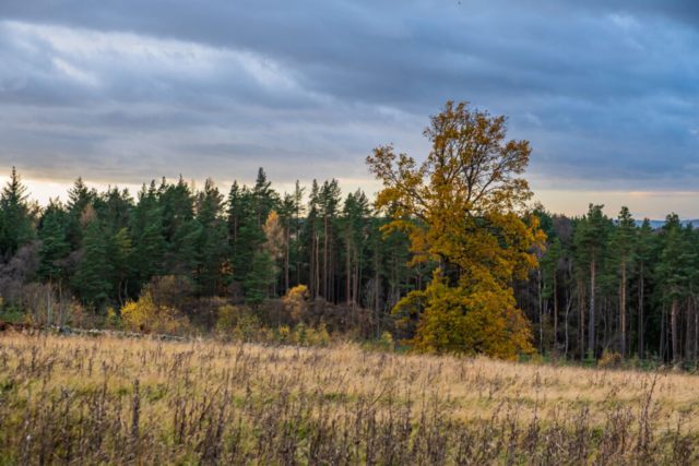
From Langley we headed to the Garden Station, the old railway station which is now a garden and a restaurant. After passing around the building and the nearby reservoir, which we were unable to see due to the high banks and intervening fence, we made our way to the dismantled Allendale railway line and headed NE. After dropping down into Langley wood opposite Langley Castle, we headed ENE along what at first was a faint rough track but later improved as we approached Threepwood Farm. With the wind increasing, although thankfully it was a tail-wind and the sky becoming gloomier, the group agreed to go directly into Haydon Bridge rather than via Elrington. Thus we reached the Anchor Inn about 5 min after the light rain started and about 15 min earlier than planned although we had walked a mile less than planned. An enjoyable walk for the most part, mainly in good weather.
CLICK ON THE FOLLOWING LINK TO OPEN THE ROUTE WE TOOK 211126 Haydon Bridge
