25 – 11 – 25 HEXHAM
Distance 14.1 Km (8.8 miles) Ascent 133 m (436 ft) Average moving speed 4.35 Km/hr (2.7 mph) Start 9.47 am Finish 14.44 pm
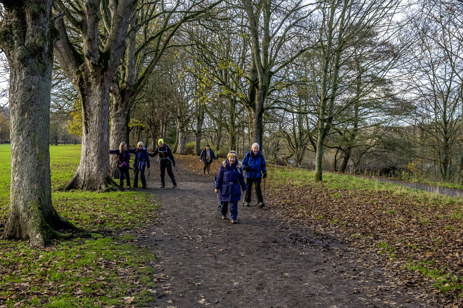
Leaving the coach just before Chollerford bridge on a bright sunny morning with not much wind, Florence led 7 of us over the bridge, turning left (W) at the roundabout. We headed along the B6318 on the pavement on the rhs of the road. Initially level the road began a gradual climb as we approached Chesters Fort. After Chesters, we turned S on the B6319 and began a slight descent down the road towards Walwick Grange. Just before reaching the Grange, we had our coffee stop sitting on the edge of the bridge crossing a small stream.
On our way again the road took a sharp turn to the right and we began a slight climb as we headed SW. The road then turned W while still slightly climbing. After passing Whinny Hill the B6319 turned SW then S as it headed down to Fourstones. There were some good views over the S Tyne valley as we descended and some of the group also spotted a deer – I missed out!! Reaching Fourstones, we stopped for a group photo outside the chapel before continuing S to cross the Newcastle – Carlisle railway line. This brought us to the north bank of the S Tyne and the River Tyne Trail. As the name suggests, this footpath follows the route of the River Tyne. While narrow, with a fence on one side and bushes, then the river on the other, it was easily passible although muddy in a couple of places. Between the bushes, we had some good views of the river, at one point seeing a heron. As the river and the trail bent S, the path moved slightly away from the river coming alongside again as the river changed to SE. Shortly after, we arrived at the paper mill where we had to leave the river and walk along the side of the road. After a short distance, Florence turned right onto a track heading for the river and then bore left on top of what appeared to be the raised bed of a railway line although there is no evidence on the OS map nor is it obvious where it would join the existing line. This grassy path brought us to Bridge End where we had lunch with the group spread out over several seats. Unfortunately, by this time the sky had mainly clouded over although it wasn’t cold.
After lunch we crossed the bridge over the R Tyne and then turned E onto a concrete road. Soon after, immediately after the house, we took a narrow track down to the river. We then followed the River Tyne Trail eastwards along a narrow path, under a railway bridge and continued until we were level with the “Meeting of the Waters” (joining of the N & S Tyne). I asked Florence if it was OK for me to go down the 30 yds or so to the river to get a couple of photos and a couple of people followed me. However it soon became obvious that as the river was in spate and the bottom of the bank was extremely muddy, it was impossible to get onto the bankside shingle – this had never been a problem on previous occasions. Back on the trail and turning S, we then headed for the road bridge carrying the A69 and walked under the bridge. As the river turned E again, the path climbed to join a tarmac track adjacent to the railway line. We continued on this track until just before the level crossing where we turned onto a path running a few yards from the river. We continued alongside the river with the golf course on our right until we reached a footbridge crossing a stream. We crossed the bridge which led us to a play area and picnic spot. The tables and forms were to be our afternoon stop.
After this stop we made our way SE to the A6079 where we turned right heading into Hexham. Before the second roundabout we crossed the road and headed past Waitrose and into the car park where the coaches were waiting. After changing our footwear etc., it was the hardest climb of the day, up to the market place and the Weatherspoons pub.
Thanks for a good walk Florence
Click on any photo to view full screen. Move through the gallery using the < > arrows.


To view the route, click on the adjacent file name 251125 Hexham