04 – 12 – 24 SUNDERLAND BRIDGE

Distance 17.2 Km (10.7 miles) Ascent 303 m (994 ft) Average moving speed 4.14 Km/hr (2.57 mph) Start 9.39 am Finish 15.55 pm
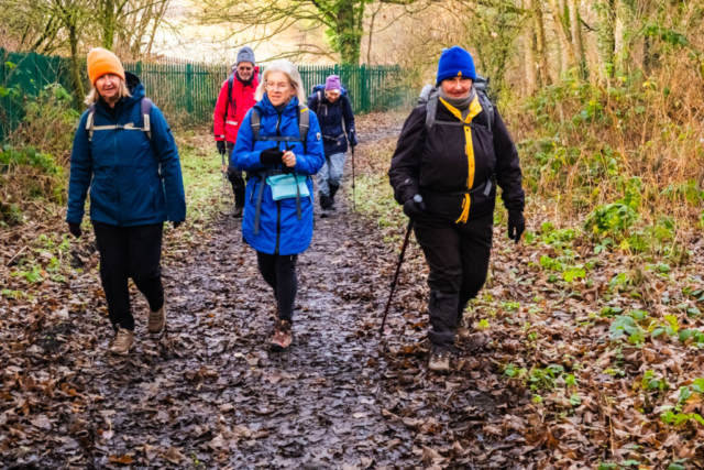
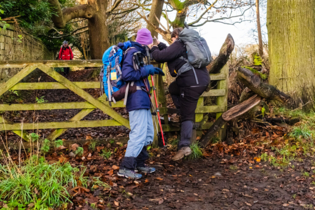
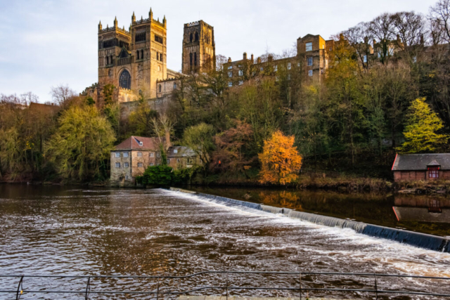
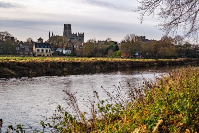
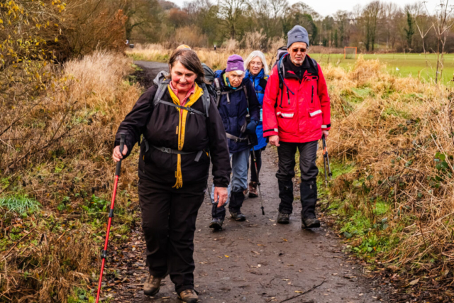
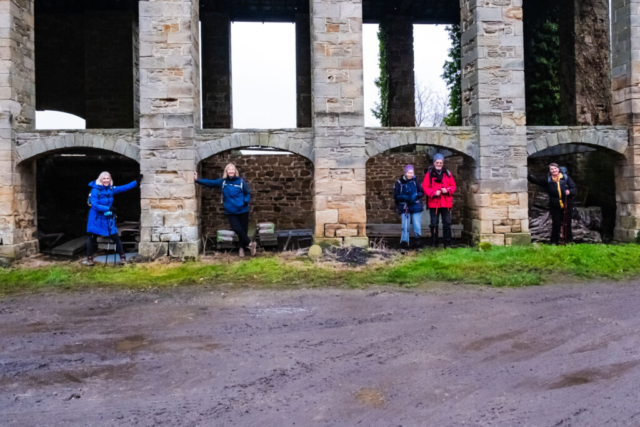
On a hazy sunlit, somewhat misty but dry and windless morning, six of us left the coach on the A167 at Red Hills near Neville’s Cross. Walking back to a footbridge over the road, we crossed the A167 and then took the road heading past the site of the Battle of Neville’s Cross in 1346. We then took a path leading along the W bank of the R Wear which brought us onto the A690. After crossing the A690, we headed up through Lowe’s Barn before making our way along a path past some of the colleges. After crossing a stile we were met with an excellent view of Durham Cathedral below us. We then endeavoured to find a footpath leading SE down to the river but there was nothing visible so we took the road down to Prebends Bridge. I had planned to put in a loop at this point heading upstream near the top of the valley and downstream next to the river. So spotting a narrow footpath climbing up the side of the valley we took that but after a short distance it descended back to the river bank. So we turned around and headed back towards Prebends bridge. After a short distance, we noticed some seats next to the river which would make a good coffee stop. However the seats were soaking wet so we decided to look for something better. However, before leaving the spot I took a group photo as the river behind the group was perfectly still, making for an excellent reflection of the bridge. A little further on the group found a suitable spot for coffee next to a University boathouse so we sat on the steps leading down to the water. Again the water was still and we had excellent reflections of the Cathedral.
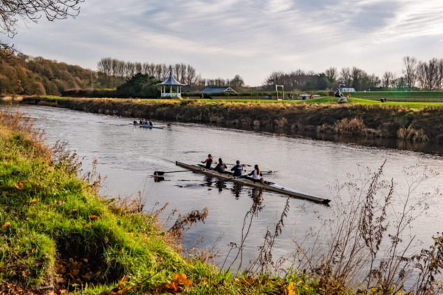
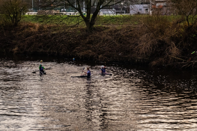
On our way again, we headed downstream past the weir and on to Framwellgate bridge. Crossing the bridge, we then headed back upstream on the opposite side of the river. This took us around the peninsula on which the Cathedral was built. It was pleasant walk along by the river, perfectly flat making for easy walking. There were a couple of university boats out on the river but the crews did not seem to be putting too much effort into their rowing. In fact several runners who we saw at several points on the footpath seemed to be making more effort. Passing under a couple of bridges brought us past a cafe and other buildings but we continued on alongside Pelaw Wood with a sports ground on the opposite side of the river. The sun was shining more brightly at this point and the earlier mist had disappeared. Several more university boats were seen during this part of the walk and as we passed Maiden Castle there were 3 single person boats with the occupants throwing a ball between them. Soon after, we reached Shincliffe bridge where we had a lunch stop.
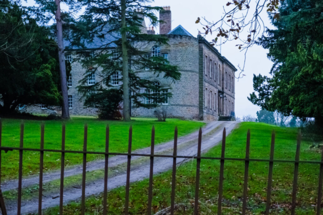
After the stop we headed south along a minor road. After passing a garden centre this turned into a track (Hall Lane) which led us past Shincliffe Hall. Past the hall it began to climb slightly after entering a wood. For about 1 Km, this path undulated often via steps and was slightly muddy at the lower levels. It became more muddy at the aptly named “The Slidings” and then we came to the stepped climb of about 50 m up to High Butterby Farm. At the farm it was a pleasure to tell the group that the rest of the walk was on the level or towards the end, some downhill. The level part of the walk, in a curved westward direction, was on a good path/track alongside Butterby and Croxdale woods on our right hand side and open fields to our left. It was during this part of the walk that I noticed that it was becoming slightly misty again and definately cooler. After passing Croxdale Wood House that track turned S/SW and we began descending towards Croxdale hall. After passing some large stone buildings which had probably been barns we passed the small C12 chapel on our right hand side and on our left, the large RC chapel built into the north wing of the hall. We decided to have an afternoon drinks stop near the entrance to the small chapel. On our way again, we cut through a small wood cutting the corner off the track we had been on. This brought us to the drive leading up to the front of the hall. A further short descent brought us back on to the track and we proceeded along this in a generally westward direction to the old Sunderland Bridge. A little bit further, in almost total darkness (causing me a navigation problem) we reached the Honest Lawyer pub.
A good walk in reasonable weather and mainly flat terrain.
To view the route, click on the adjacent file name 241204 Sunderland Bridge
