29 – 02 – 24 CASTLE EDEN
Distance 13.7 Km (10.7 miles) Ascent 415 m (1360 ft) Average moving speed 4.11 Km/hr (2.56 mph) Start 9.27 am Finish 15.32pm
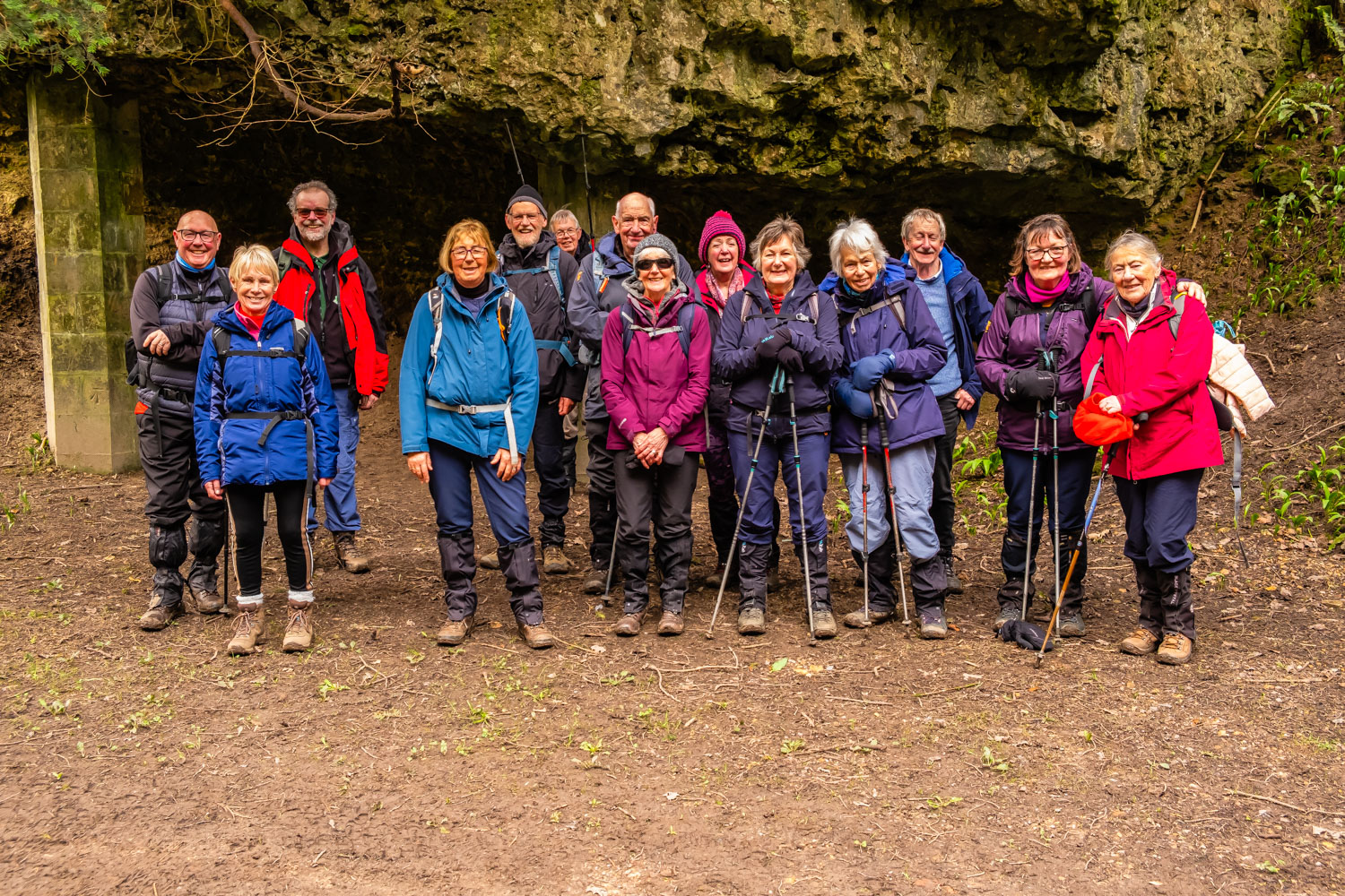
On an overcast but dry day, with a westerly wind, 15 of us alighted the coach on the B1432 at Hawthorne. We then turned left (E) onto a minor road through the village and headed past South Farm before turning N and then E on a reasonable path to Haythorne’s Plantation. Just inside the northern edge of the wood we continued east until I realised we had missed the RoW which according to the map had left the path at a slight angle. Backtracking a short distance, we saw the path below us and cutting thro some rough undergrowth regained the correct route although there were so many paths and so many trees it was difficult to determine which one was the correct path. Suffice to say the path did improve and after a while we found ourselves at the railway crossing and then to the edge of the cliffs. Being advised by a couple of guys that this path was not good, we backtracked over the railway, headed away from the cliffs and then down a long series of steps into Hawthorne Dene. Crossing the dene on a footbridge we had excellent views of the high railway bridge crossing the dene. The Durham Coast Line was opened in 1905 so the viaduct must have been opened before that date. Climbing up the south side of the dene, the path led us under one of the arches of the bridge and back onto the English Coast path. Heading south down the path, we had good views of a fairly calm North Sea. After almost 1 Km, while the path continues S, the RoW heads W to Shippersea Point. As it was almost 11.00 am, it was a good spot for a coffee break. Although rather windy, we had excellent views of the cliffs heading northwards.
After coffee, we followed the fairly good path around the point and then southwards. After about 0.5 Km, I noticed a wire mesh obstructing part of the path, but with plenty of room to pass we carried on. About 250 m later, I was informed by one of the group that the path ahead was closed. I hadn’t seen any notice, could I have been talking!!! Anyhow, another backtrack and sure enough there was a new stile (which I had ignored) so we crossed over it, away from the cliffs and continued south. It must be said that the original path was the better route as this grassy area was soggy to say the least, Near Busiers Holes we were able to return to the cliff top path and continue S until we reached Fox Holes Dene where we cut inland around the top of the dene before returning to the south side of the dene and heading south again. Continuing down the England Coast Path we arrived above Warren House Gill. While there was a set of steps leading down to the gill, they didn’t look good. However, looking at the alternative paths down, they had obviously been used by mountain bikers and would have been treacherous and so down the steps we went. After crossing the gill, we headed for the “sands” and stopped for our lunch.
After lunch we continued S on the “sands”. I use the word “sands” with reservation because as someone used to the Northumberland beaches, the sands were a mixture of coal, pebbles and some undescribable composition which was almost like concrete. As we walked towards Hartlepool Point, the percentage of sand did increase slightly but it still defied description. At Hartlepool Point, we turned inland into Castle Eden Dene and soon passed under another huge railway bridge, Horden viaduct, which has 10 arches and is 141 ft from ground to rail level. After climbing up to the A1086, crossing the road and then descending back to the valley floor, questions were asked whether we could have stayed by the burn. In hindsight, we possibly could have avoided the climb but it wasn’t clear. Anyhow, we continued upstream passing several unusual trees. Near Scotchman’s Gill the good path we were on was closed and we had to detour to the south side of the burn and along a rather muddy path. Fortunately, at Priest’s Gill we were able to rejoin the main path. After Castle Bridge, we started climbing out of the dene, the last part of the climb being quite steep. On reaching the castle (fortified house) at the top, not surprisingly when I offered the group a short drinks stop they were keen to take it. After the stop, we headed SSE on a minor road and then across a clarty field to a disused railway line which led us directly to the Castle Eden pub.
A reasonable walk for County Durham, which most of the group seemed to enjoy, or were they just being nice to me.
Click on any photo to view full screen. Move through the gallery using the < > arrows.
 plantation")
 plantation")
 plantation")


")


To view the route, click on the adjacent file name 240229 Castle Eden