08 – 01 – 24 HEXHAM

Distance 16.6 Km (10.3 miles) Ascent 221 m (725 ft) Average moving speed 4.06 Km/h (2.52 mph) Start 9.30 am Finish 15.15pm
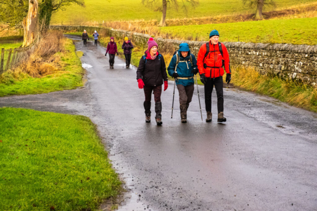
On a wet morning a large group of walkers left the coach at the junction of the B6318 (Military Rd) and the B6321. However, only 10 of us were in Ann Brown’s group but the two groups crossed the Military Rd and climbed over the stile into the field beyond. I warned Ann that previously I had problems leaving the field as there was no gate or stile at the east end of the field. However, with Ian, the other leader, leading, we headed west in the rain and sure enough had to scramble over a barbed wire fence. to get out of the field. There is a path on the outside of the fence at this west end but it is not obvious where we started (climbing over the stile). After crossing the road, we passed through a gate and then headed west again on a good grassy footpath – little mud considering all the wet weather. We then crossed to the north side of the road onto a grassy verge and continued our journey westwards before then crossing back to the south side. Near Down Hill we left the road and headed SW then SSW, SW across the fields which were surprisingly not too wet. This brought us out at Halton with a good view of the castle and where we had a coffee break next to the church.
Leaving Halton we went S then SSE down the minor road to Aydon and our second castle on the route. There only remains part of the walls of the castle, so a less interesting building than Halton imo. From Aydon we headed down into the dene formed by the Cor Burn. This was a slightly steep descent on a very muddy surface and I have to confess to measuring my length as we approached the footbridge over the burn. I think this was a trip rather than a slip and apart from my pride I was unhurt. Fortunately the camera survived, apart from picking up some mud. After making the fairly steep climb out of the dene, we headed S then WSW across the fields which once again were surprisingly fairly dry. After crossing below the A69 we headed west then south, initially on a track and then a road past some very nice houses and made our way into Corbridge. On reaching the Market Place, we made use of the seats and the stone steps around what I suspect had been the market cross and enjoyed our lunch snack.
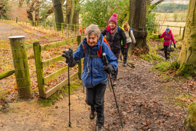
After lunch we headed S, crossed the road bridge over the R Tyne and made our way SW along the B6321. As we approached Dilston level crossing, the lights started flashing so we waited while a two carriage train hurtled past. Free to proceed we joined the A695 and headed west to Dilston. After crossing the Devils Water, we crossed the road and headed S on a track which started climbing up towards Dilston Park. The track became quite muddy in places and the going wasn’t easy. Anyhow we kept going and eventually reached Park Wood at the top of the track. Heading W towards Dukes House thew mud became worse but eventually we reached Dukes House where we had a short drinks stop leaning against the wall. I have to say that I am always impressed by the tall chimneys of Dukes house. Leaving Duke House we continued W before turning N onto River Tyne Trail. A descent down further muddy paths brought us to the southern edge of Hexham. Meandering through the housing estate we came to the hospital from where it was an easy walk down to the large car park and the coaches. An interesting walk, particularly around Halton and Aydon, where the sun was also shining. Thanks Ann
To view the route, click on the adjacent file name 240108 Hexham


